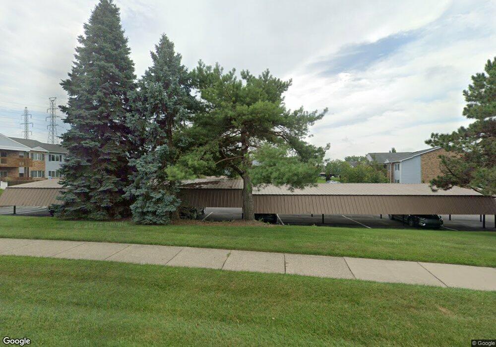
1205 Harbour Dr Unit 37 Trenton, MI 48183
Estimated Value: $131,000 - $146,000
--
Bed
1
Bath
1,019
Sq Ft
$134/Sq Ft
Est. Value
About This Home
This home is located at 1205 Harbour Dr Unit 37, Trenton, MI 48183 and is currently estimated at $136,602, approximately $134 per square foot. 1205 Harbour Dr Unit 37 is a home located in Wayne County with nearby schools including Jesse L. Anderson Elementary School, Boyd W. Arthurs Middle School, and Trenton High School.
Ownership History
Date
Name
Owned For
Owner Type
Purchase Details
Closed on
Aug 6, 2021
Sold by
Mazur Paula J
Bought by
Kowalski Justin A
Current Estimated Value
Home Financials for this Owner
Home Financials are based on the most recent Mortgage that was taken out on this home.
Original Mortgage
$87,300
Outstanding Balance
$79,501
Interest Rate
3%
Mortgage Type
New Conventional
Estimated Equity
$57,101
Purchase Details
Closed on
May 3, 2002
Sold by
Peck Clifton S
Bought by
Peck Clifton S
Purchase Details
Closed on
Mar 15, 2001
Sold by
Soltesz Irene
Bought by
Burrell Cori L
Create a Home Valuation Report for This Property
The Home Valuation Report is an in-depth analysis detailing your home's value as well as a comparison with similar homes in the area
Home Values in the Area
Average Home Value in this Area
Purchase History
| Date | Buyer | Sale Price | Title Company |
|---|---|---|---|
| Kowalski Justin A | $90,000 | Michigan Title Ins Agcy Inc | |
| Peck Clifton S | -- | -- | |
| Burrell Cori L | -- | -- |
Source: Public Records
Mortgage History
| Date | Status | Borrower | Loan Amount |
|---|---|---|---|
| Open | Kowalski Justin A | $87,300 |
Source: Public Records
Tax History Compared to Growth
Tax History
| Year | Tax Paid | Tax Assessment Tax Assessment Total Assessment is a certain percentage of the fair market value that is determined by local assessors to be the total taxable value of land and additions on the property. | Land | Improvement |
|---|---|---|---|---|
| 2025 | $1,797 | $63,300 | $0 | $0 |
| 2024 | $1,797 | $51,000 | $0 | $0 |
| 2023 | $1,685 | $43,700 | $0 | $0 |
| 2022 | $2,289 | $39,300 | $0 | $0 |
| 2021 | $1,479 | $35,800 | $0 | $0 |
| 2020 | $1,495 | $34,400 | $0 | $0 |
| 2019 | $1,473 | $35,100 | $0 | $0 |
| 2018 | $974 | $30,500 | $0 | $0 |
| 2017 | $843 | $28,700 | $0 | $0 |
| 2016 | $1,314 | $26,200 | $0 | $0 |
| 2015 | $2,327 | $24,400 | $0 | $0 |
| 2013 | -- | $28,400 | $0 | $0 |
| 2012 | $1,441 | $27,000 | $3,200 | $23,800 |
Source: Public Records
Map
Nearby Homes
- 1225 Harbour Dr Unit 28
- 2100 Fort St
- 2617 4th St
- 306 Elm St
- 2161 3rd St
- 2330 Cambridge St
- 1900 Fort St Unit 3
- 417 Saint Joseph St
- 1870 Fort St Unit 1
- 2737 5th St
- 2756 4th St
- 2850 5th St
- 2465 Riverside Dr Unit 309
- 2848 4th St
- 2445 Riverside Dr Unit 206
- 2610 Gorno St
- 1935 Church Place
- 2744 Riverside Dr Unit 17
- 2205 Glenwood St
- 2931 4th St
- 1205 Harbour Dr Unit 35
- 1205 Harbour Dr Unit 38
- 1205 Harbour Dr Unit 40
- 1205 Harbour Dr Unit 39
- 1205 Harbour Dr Unit 36
- 1205 Harbour Dr Unit 34
- 1205 Harbour Dr Unit 33
- 1205 Harbour Dr
- 1215 Harbour Dr Unit 42
- 1215 Harbour Dr Unit 43
- 1215 Harbour Dr Unit 41
- 1215 Harbour Dr Unit 48
- 1215 Harbour Dr Unit 47
- 1215 Harbour Dr Unit 46
- 1215 Harbour Dr Unit 45
- 1215 Harbour Dr Unit 44
- 1215 Harbour Dr Unit 1215 44
- 1215 Harbour Dr
- 1215 Harbour Dr Unit 45
- 1235 Harbour Dr Unit 17