Estimated Value: $255,000 - $293,000
2
Beds
1
Bath
1,194
Sq Ft
$230/Sq Ft
Est. Value
About This Home
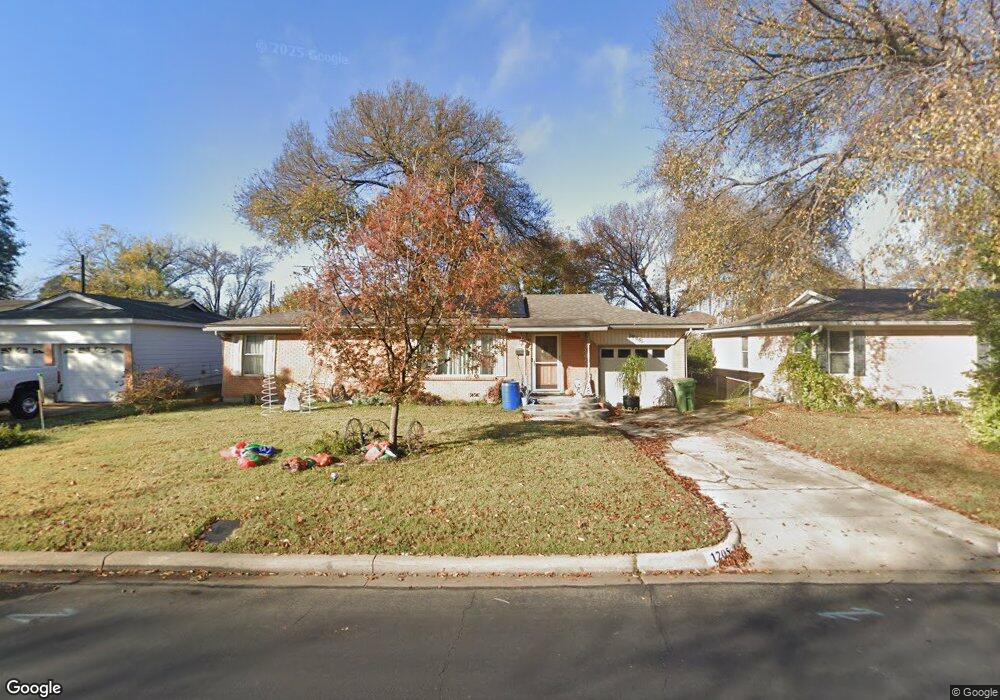
This home is located at 1205 Harrison Ln, Hurst, TX 76053 and is currently estimated at $274,673, approximately $230 per square foot. 1205 Harrison Ln is a home located in Tarrant County with nearby schools including Harrison Lane Elementary School, Hurst J High School, and L.D. Bell High School.
Ownership History
Date
Name
Owned For
Owner Type
Purchase Details
Closed on
Jan 16, 2003
Sold by
Pew John P
Bought by
Neice Toby O and Neice Joette L
Current Estimated Value
Home Financials for this Owner
Home Financials are based on the most recent Mortgage that was taken out on this home.
Original Mortgage
$88,609
Outstanding Balance
$37,746
Interest Rate
6%
Mortgage Type
FHA
Estimated Equity
$236,927
Purchase Details
Closed on
May 18, 1994
Sold by
Williams Nancy M
Bought by
Pew John P
Create a Home Valuation Report for This Property
The Home Valuation Report is an in-depth analysis detailing your home's value as well as a comparison with similar homes in the area
Home Values in the Area
Average Home Value in this Area
Purchase History
| Date | Buyer | Sale Price | Title Company |
|---|---|---|---|
| Neice Toby O | -- | North American Title | |
| Pew John P | -- | Fidelity National Title Agen |
Source: Public Records
Mortgage History
| Date | Status | Borrower | Loan Amount |
|---|---|---|---|
| Open | Neice Toby O | $88,609 |
Source: Public Records
Tax History Compared to Growth
Tax History
| Year | Tax Paid | Tax Assessment Tax Assessment Total Assessment is a certain percentage of the fair market value that is determined by local assessors to be the total taxable value of land and additions on the property. | Land | Improvement |
|---|---|---|---|---|
| 2025 | $3,362 | $285,482 | $55,000 | $230,482 |
| 2024 | $3,362 | $285,482 | $55,000 | $230,482 |
| 2023 | $4,900 | $266,369 | $35,000 | $231,369 |
| 2022 | $3,603 | $195,120 | $35,000 | $160,120 |
| 2021 | $3,431 | $189,970 | $35,000 | $154,970 |
| 2020 | $3,111 | $153,398 | $35,000 | $118,398 |
| 2019 | $2,877 | $157,449 | $35,000 | $122,449 |
| 2018 | $1,055 | $106,879 | $16,000 | $90,879 |
| 2017 | $2,459 | $144,652 | $16,000 | $128,652 |
| 2016 | $2,235 | $118,456 | $16,000 | $102,456 |
| 2015 | $1,733 | $80,300 | $15,000 | $65,300 |
| 2014 | $1,733 | $80,300 | $15,000 | $65,300 |
Source: Public Records
Map
Nearby Homes
- 1220 Norwood Dr
- 1136 Simpson Dr
- 1337 Harrison Ln
- 409 Vicki Place
- 116 Oakhurst Dr
- 1352 Simpson Dr
- 1348 Norwood Dr
- 420 Bedford Ct W
- 905 Brown Trail
- 1016 Keith Dr
- 1208 Karla Dr
- 113 Sunnyvale Terrace
- 400 Joanna Dr
- 344 Bedford Ct E
- 341 Hurst Dr
- 802 Brown Trail
- 1208 Birch St
- 803 Glenda Dr
- 1008 Russell Ln
- 1236 King Dr
- 1209 Harrison Ln
- 1201 Harrison Ln
- 1213 Harrison Ln
- 204 Olive St
- 200 Olive St
- 1204 Harrison Ln
- 1200 Harrison Ln
- 208 Olive St
- 1208 Harrison Ln
- 1172 Harrison Ln
- 1212 Harrison Ln
- 212 Olive St
- 1221 Harrison Ln
- 1216 Harrison Ln
- 1168 Harrison Ln
- 216 Olive St
- 1205 Simpson Dr
- 1201 Simpson Dr
- 1209 Simpson Dr
- 1225 Harrison Ln