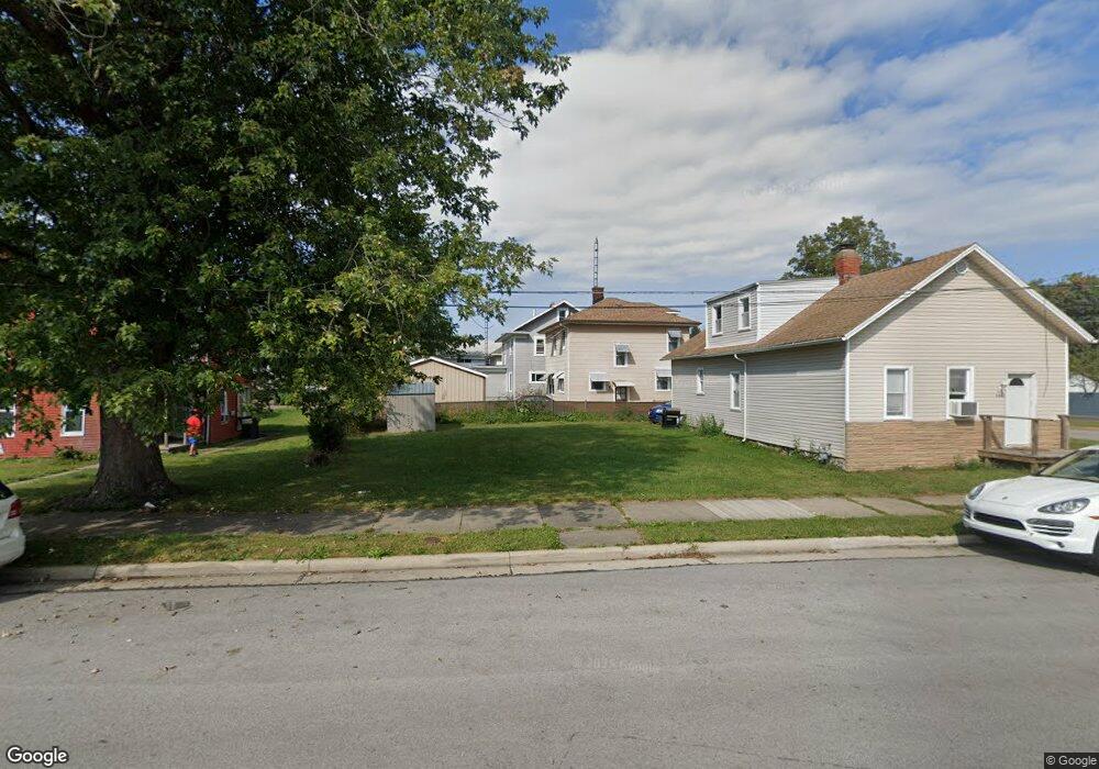
1205 N Depot St Sandusky, OH 44870
Estimated Value: $60,000 - $177,000
2
Beds
1
Bath
1,152
Sq Ft
$103/Sq Ft
Est. Value
About This Home
This home is located at 1205 N Depot St, Sandusky, OH 44870 and is currently estimated at $118,500, approximately $102 per square foot. 1205 N Depot St is a home located in Erie County with nearby schools including Sandusky High School, Monroe Preparatory Academy, and Sandusky Central Catholic School.
Ownership History
Date
Name
Owned For
Owner Type
Purchase Details
Closed on
Sep 23, 2021
Sold by
Cox Matthew Josiah and Cox Holly
Bought by
Miller Michael Grant
Current Estimated Value
Home Financials for this Owner
Home Financials are based on the most recent Mortgage that was taken out on this home.
Original Mortgage
$76,789
Outstanding Balance
$67,808
Interest Rate
2.8%
Mortgage Type
FHA
Estimated Equity
$50,692
Purchase Details
Closed on
Sep 21, 2021
Sold by
Sjc Management Group Llc
Bought by
Cox Matthew Josiah
Home Financials for this Owner
Home Financials are based on the most recent Mortgage that was taken out on this home.
Original Mortgage
$76,789
Outstanding Balance
$67,808
Interest Rate
2.8%
Mortgage Type
FHA
Estimated Equity
$50,692
Purchase Details
Closed on
Nov 6, 2018
Sold by
Erie County Land Reutilization Corp
Bought by
Sjc Management Group Llc
Purchase Details
Closed on
Jun 28, 2017
Sold by
Graves Betty A and Kirksey Kathi Graves
Bought by
Erie County Land Reutilization Corp
Create a Home Valuation Report for This Property
The Home Valuation Report is an in-depth analysis detailing your home's value as well as a comparison with similar homes in the area
Home Values in the Area
Average Home Value in this Area
Purchase History
| Date | Buyer | Sale Price | Title Company |
|---|---|---|---|
| Miller Michael Grant | $78,640 | Hartung Title Order | |
| Cox Matthew Josiah | -- | Hartung Title | |
| Sjc Management Group Llc | -- | None Available | |
| Erie County Land Reutilization Corp | -- | Hartung Title |
Source: Public Records
Mortgage History
| Date | Status | Borrower | Loan Amount |
|---|---|---|---|
| Open | Miller Michael Grant | $76,789 |
Source: Public Records
Tax History Compared to Growth
Tax History
| Year | Tax Paid | Tax Assessment Tax Assessment Total Assessment is a certain percentage of the fair market value that is determined by local assessors to be the total taxable value of land and additions on the property. | Land | Improvement |
|---|---|---|---|---|
| 2024 | $76 | $1,928 | $1,928 | $0 |
| 2023 | $76 | $1,522 | $1,522 | $0 |
| 2022 | $77 | $1,522 | $1,522 | $0 |
| 2021 | $78 | $1,520 | $1,520 | $0 |
| 2020 | $85 | $1,520 | $1,520 | $0 |
| 2019 | $87 | $1,520 | $1,520 | $0 |
| 2018 | $87 | $1,520 | $1,520 | $0 |
| 2017 | $330 | $14,620 | $2,280 | $12,340 |
| 2016 | $330 | $14,620 | $2,280 | $12,340 |
| 2015 | $297 | $14,620 | $2,280 | $12,340 |
| 2014 | $296 | $14,620 | $2,280 | $12,340 |
| 2013 | $146 | $14,620 | $2,280 | $12,340 |
Source: Public Records
Map
Nearby Homes
- 1618 Mcdonough St
- 1530 Camp St
- 1311 Filmore St
- 1225 Polk St
- 1604 Central Ave
- 1329 Carr St
- 1413 Seneca St
- 1417 Pierce St
- 1514 Prospect St
- 717 W Osborne St
- 1207 Central Ave
- 1608 Pierce St
- 1204 W Monroe St
- 912 Central Ave
- 0 Brown
- 1813 Sandusky St
- 1725 Buchanan St
- 621 Mcdonough St
- 2028 W Forest Dr
- 517 Polk St
- 1203 N Depot St
- 1209 N Depot St
- 1615 Shelby St
- 1613 Shelby St
- 1213 N Depot St
- 1607 Shelby St
- 1115 N Depot St
- 1219 N Depot St
- 1212 Ransom St
- 1111 N Depot St
- 1214 Ransom St
- 1603 Shelby St
- 1216 Ransom St
- 1109 N Depot St
- 1608 Shelby St
- 1218 Ransom St
- 1604 Shelby St
- 1107 N Depot St
- 1602 Shelby St
- 1521 Shelby St