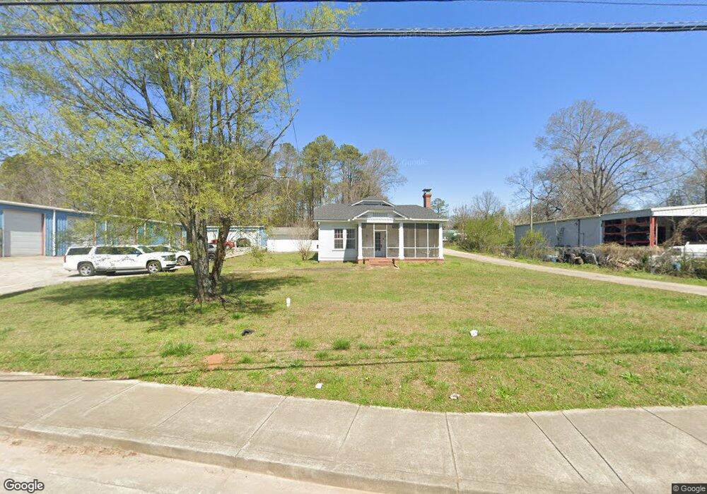
1205 Rockmart Hwy Cedartown, GA 30125
Estimated Value: $174,000 - $213,000
3
Beds
1
Bath
1,866
Sq Ft
$99/Sq Ft
Est. Value
About This Home
This home is located at 1205 Rockmart Hwy, Cedartown, GA 30125 and is currently estimated at $184,504, approximately $98 per square foot. 1205 Rockmart Hwy is a home located in Polk County with nearby schools including Cedar Christian School.
Ownership History
Date
Name
Owned For
Owner Type
Purchase Details
Closed on
Jun 5, 2009
Sold by
Ford W H
Bought by
Andrews Wesley Kam
Current Estimated Value
Purchase Details
Closed on
Sep 9, 1986
Sold by
Burke Emily P
Bought by
Ford W A
Purchase Details
Closed on
Nov 18, 1982
Sold by
Burke Burke C and Burke Emily
Bought by
Burke Emily P
Purchase Details
Closed on
Jun 2, 1978
Sold by
Vincent Ruth B Mrs
Bought by
Burke Burke C and Burke Emily
Purchase Details
Closed on
Jun 19, 1975
Bought by
Vincent Ruth B Mrs
Create a Home Valuation Report for This Property
The Home Valuation Report is an in-depth analysis detailing your home's value as well as a comparison with similar homes in the area
Home Values in the Area
Average Home Value in this Area
Purchase History
| Date | Buyer | Sale Price | Title Company |
|---|---|---|---|
| Andrews Wesley Kam | $50,000 | -- | |
| Andrews Wesley Kam | $50,000 | -- | |
| Ford W A | -- | -- | |
| Burke Emily P | -- | -- | |
| Burke Burke C | -- | -- | |
| Vincent Ruth B Mrs | -- | -- |
Source: Public Records
Tax History Compared to Growth
Tax History
| Year | Tax Paid | Tax Assessment Tax Assessment Total Assessment is a certain percentage of the fair market value that is determined by local assessors to be the total taxable value of land and additions on the property. | Land | Improvement |
|---|---|---|---|---|
| 2024 | $993 | $47,488 | $6,480 | $41,008 |
| 2023 | $779 | $32,816 | $6,480 | $26,336 |
| 2022 | $641 | $27,008 | $4,320 | $22,688 |
| 2021 | $649 | $27,008 | $4,320 | $22,688 |
| 2020 | $651 | $27,008 | $4,320 | $22,688 |
| 2019 | $535 | $19,910 | $4,704 | $15,206 |
| 2018 | $504 | $18,273 | $3,575 | $14,698 |
| 2017 | $497 | $18,273 | $3,575 | $14,698 |
| 2016 | $497 | $18,273 | $3,575 | $14,698 |
| 2015 | $497 | $18,224 | $3,575 | $14,649 |
| 2014 | $485 | $17,644 | $2,966 | $14,678 |
Source: Public Records
Map
Nearby Homes