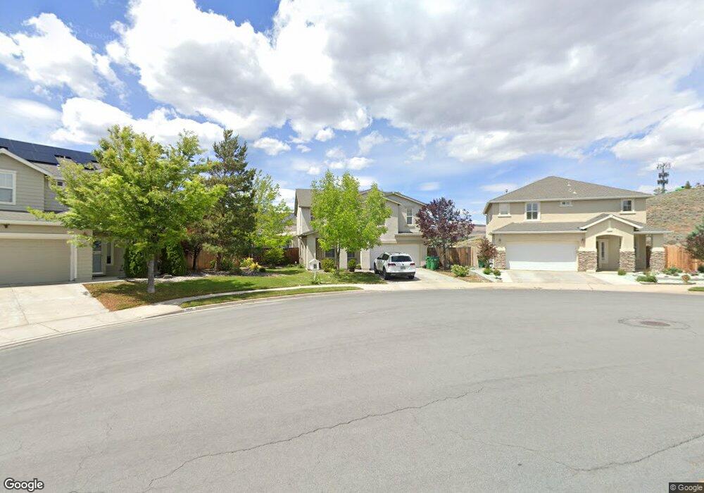
1205 Silver Crest Cir Reno, NV 89523
Mae Anne Avenue NeighborhoodEstimated Value: $639,000 - $706,000
4
Beds
3
Baths
2,095
Sq Ft
$319/Sq Ft
Est. Value
About This Home
This home is located at 1205 Silver Crest Cir, Reno, NV 89523 and is currently estimated at $667,944, approximately $318 per square foot. 1205 Silver Crest Cir is a home located in Washoe County with nearby schools including Sarah Winnemucca Elementary School, B D Billinghurst Middle School, and Robert McQueen High School.
Ownership History
Date
Name
Owned For
Owner Type
Purchase Details
Closed on
Jun 28, 2011
Sold by
Federal National Mortgage Association
Bought by
Davis Robyn E and Davis Gideon K
Current Estimated Value
Home Financials for this Owner
Home Financials are based on the most recent Mortgage that was taken out on this home.
Original Mortgage
$208,440
Outstanding Balance
$143,671
Interest Rate
4.55%
Mortgage Type
New Conventional
Estimated Equity
$524,273
Purchase Details
Closed on
Apr 11, 2011
Sold by
Kunz David L and Kunz Wendi R
Bought by
Federal National Mortgage Association
Purchase Details
Closed on
Mar 15, 2006
Sold by
Bgu Associates Llc
Bought by
Valenzuela Phillip L and Valenzuela Jennelle
Home Financials for this Owner
Home Financials are based on the most recent Mortgage that was taken out on this home.
Original Mortgage
$333,940
Interest Rate
5.87%
Mortgage Type
Unknown
Create a Home Valuation Report for This Property
The Home Valuation Report is an in-depth analysis detailing your home's value as well as a comparison with similar homes in the area
Home Values in the Area
Average Home Value in this Area
Purchase History
| Date | Buyer | Sale Price | Title Company |
|---|---|---|---|
| Davis Robyn E | $216,000 | Servicelink Irvine | |
| Federal National Mortgage Association | $299,684 | Pasion Title Services | |
| Valenzuela Phillip L | $417,500 | First American Title |
Source: Public Records
Mortgage History
| Date | Status | Borrower | Loan Amount |
|---|---|---|---|
| Open | Davis Robyn E | $208,440 | |
| Previous Owner | Valenzuela Phillip L | $333,940 |
Source: Public Records
Tax History Compared to Growth
Tax History
| Year | Tax Paid | Tax Assessment Tax Assessment Total Assessment is a certain percentage of the fair market value that is determined by local assessors to be the total taxable value of land and additions on the property. | Land | Improvement |
|---|---|---|---|---|
| 2025 | $3,213 | $125,426 | $43,145 | $82,281 |
| 2024 | $3,213 | $120,190 | $37,375 | $82,816 |
| 2023 | $2,266 | $119,125 | $40,756 | $78,369 |
| 2022 | $3,030 | $97,667 | $32,634 | $65,033 |
| 2021 | $2,942 | $91,483 | $26,864 | $64,619 |
| 2020 | $2,854 | $90,566 | $25,909 | $64,657 |
| 2019 | $2,772 | $88,776 | $26,240 | $62,536 |
| 2018 | $2,691 | $80,320 | $19,478 | $60,842 |
| 2017 | $2,613 | $77,600 | $16,765 | $60,835 |
| 2016 | $2,546 | $78,238 | $16,135 | $62,103 |
| 2015 | $2,542 | $75,398 | $13,615 | $61,783 |
| 2014 | $2,468 | $71,068 | $12,040 | $59,028 |
| 2013 | -- | $65,277 | $10,150 | $55,127 |
Source: Public Records
Map
Nearby Homes
- 1255 Silver Crest Cir
- 1500 Backer Way
- 5830 Blue Horizon Dr
- 5870 Blue Horizon Dr
- 0 Simons Dr
- 5895 Blue Horizon Dr
- 1659 Shadow Park Dr
- 6087 White Water Way
- 1689 Shadow Park Dr
- 5882 Grand Row Way Unit Lot 61
- 5878 Grand Row Way
- 1627 Prancer St Unit Lot 50
- 1627 Prancer St
- 1615 Prancer St Unit Lot 53
- Walker Plan at Monarch
- Humboldt Plan at Monarch
- 1618 Icelandic Way Unit Lot 67
- 1618 Icelandic Way
- 1626 Icelandic Way
- 1621 Icelandic Way
- 1195 Silver Crest Cir
- 1215 Silver Crest Cir
- 1072 Crown View Dr
- 1076 Crown View Dr
- 1080 Crown View Dr
- 1185 Silver Crest Cir
- 1225 Silver Crest Cir
- 1068 Crown View Dr
- 1190 Silver Crest Cir
- 1084 Crown View Dr
- 1175 Silver Crest Cir
- 1180 Silver Crest Cir
- 1220 Silver Crest Cir
- 1235 Silver Crest Cir
- 1064 Crown View Dr
- 1067 Crown View Dr
- 1071 Crown View Dr
- 1220 Silver Crest Cir
- 1088 Crown View Dr
- 1165 Silver Crest Cir