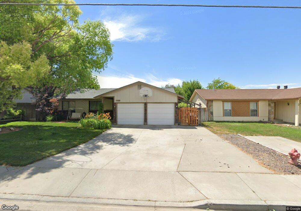
1205 Sparks St N Twin Falls, ID 83301
Estimated Value: $373,000 - $501,000
6
Beds
4
Baths
2,406
Sq Ft
$181/Sq Ft
Est. Value
About This Home
This home is located at 1205 Sparks St N, Twin Falls, ID 83301 and is currently estimated at $435,000, approximately $180 per square foot. 1205 Sparks St N is a home located in Twin Falls County with nearby schools including I.B. Perrine Elementary School, Robert Stuart Junior High School, and Canyon Ridge High School.
Ownership History
Date
Name
Owned For
Owner Type
Purchase Details
Closed on
Mar 10, 2025
Sold by
King Clifford and King Josie
Bought by
Kings Property Management Llc
Current Estimated Value
Purchase Details
Closed on
Apr 6, 2022
Sold by
Hansen Tracy A and Hansen Cheryl A
Bought by
King Clifford and King Josie
Purchase Details
Closed on
Jun 29, 2018
Sold by
Wills Land Company Lllp
Bought by
Hansen Tracy and Hansen Cheryl A
Home Financials for this Owner
Home Financials are based on the most recent Mortgage that was taken out on this home.
Original Mortgage
$163,500
Interest Rate
4.6%
Mortgage Type
New Conventional
Create a Home Valuation Report for This Property
The Home Valuation Report is an in-depth analysis detailing your home's value as well as a comparison with similar homes in the area
Home Values in the Area
Average Home Value in this Area
Purchase History
| Date | Buyer | Sale Price | Title Company |
|---|---|---|---|
| Kings Property Management Llc | -- | None Listed On Document | |
| King Clifford | -- | Title One | |
| Hansen Tracy | -- | Titlefact Inc |
Source: Public Records
Mortgage History
| Date | Status | Borrower | Loan Amount |
|---|---|---|---|
| Previous Owner | Hansen Tracy | $163,500 |
Source: Public Records
Tax History Compared to Growth
Tax History
| Year | Tax Paid | Tax Assessment Tax Assessment Total Assessment is a certain percentage of the fair market value that is determined by local assessors to be the total taxable value of land and additions on the property. | Land | Improvement |
|---|---|---|---|---|
| 2024 | $3,796 | $353,522 | $79,328 | $274,194 |
| 2023 | $3,939 | $376,690 | $79,328 | $297,362 |
| 2022 | $4,389 | $383,309 | $68,658 | $314,651 |
| 2021 | $4,428 | $294,098 | $54,504 | $239,594 |
| 2020 | $3,630 | $237,913 | $50,489 | $187,424 |
| 2019 | $4,127 | $231,003 | $42,460 | $188,543 |
| 2018 | $3,958 | $211,359 | $34,573 | $176,786 |
| 2017 | $3,484 | $185,861 | $34,573 | $151,288 |
| 2016 | $3,165 | $157,924 | $0 | $0 |
| 2015 | $3,080 | $157,924 | $34,573 | $123,351 |
| 2012 | -- | $145,412 | $0 | $0 |
Source: Public Records
Map
Nearby Homes
- 1230 Blake St N
- 1148 Blake St N
- 1039 Blake St N
- 1434 Tara St
- 551 Park Meadows Cir
- 1108 Twin Parks Dr
- 329 Falls Ave W
- 1494 Northern Pine Dr
- 905 Birchton Loop
- 874 Eastwind Dr
- 941 Birchton Loop
- 805 Drayton Ave
- 1435 Anny Dr W
- 167 Robbins Ave
- 145 Robbins Ave
- 957 Birchton Loop
- 145, 147, 149 Robbins St
- 850 Broadmoor Ave
- 147 Robbins Ave
- 149 Robbins Ave
- 1217 Sparks St N
- 1189 Sparks St N
- 1218 Sparks St N
- 1180 Sparks St N
- 1230 Sparks St N
- 1169 Sparks St N
- 1208 Parkway Dr
- 1212 Parkway Dr
- 1242 Sparks St N
- 1168 Sparks St N
- 1233 Sparks St N
- 1214 Parkway Dr
- 1194 Parkway Dr
- 1198 Parkway Dr
- 1221 Sunburst St
- 1254 Sparks St N
- 1231 Sunburst St
- 1222 Parkway Dr
- 1251 Sparks St N
- 1241 Sunburst St