1205 Sr 29 N Tunkhannock, PA 18657
Estimated Value: $174,000 - $370,249
--
Bed
--
Bath
--
Sq Ft
80
Acres
About This Home
This home is located at 1205 Sr 29 N, Tunkhannock, PA 18657 and is currently estimated at $301,750. 1205 Sr 29 N is a home located in Wyoming County with nearby schools including Tunkhannock Middle School and Tunkhannock High School.
Ownership History
Date
Name
Owned For
Owner Type
Purchase Details
Closed on
Jun 2, 2023
Sold by
Harvey Martin A
Bought by
Harvey Martin A and Banos Kevin S
Current Estimated Value
Purchase Details
Closed on
Jun 30, 2015
Sold by
Chesapeake Appalachia Llc
Bought by
Chief Exploration And Development Llc
Purchase Details
Closed on
Aug 6, 2013
Sold by
Harvey Roberta and Harvey Robin C
Bought by
Harvey Roberta and Harvey Robin C
Create a Home Valuation Report for This Property
The Home Valuation Report is an in-depth analysis detailing your home's value as well as a comparison with similar homes in the area
Home Values in the Area
Average Home Value in this Area
Purchase History
| Date | Buyer | Sale Price | Title Company |
|---|---|---|---|
| Harvey Martin A | $428,947 | -- | |
| Chief Exploration And Development Llc | -- | None Available | |
| Harvey Roberta | -- | None Available |
Source: Public Records
Tax History Compared to Growth
Tax History
| Year | Tax Paid | Tax Assessment Tax Assessment Total Assessment is a certain percentage of the fair market value that is determined by local assessors to be the total taxable value of land and additions on the property. | Land | Improvement |
|---|---|---|---|---|
| 2025 | $7,132 | $67,775 | $23,950 | $43,825 |
| 2024 | $7,797 | $67,775 | $23,950 | $43,825 |
| 2023 | $6,888 | $67,775 | $23,950 | $43,825 |
| 2022 | $7,560 | $67,775 | $23,950 | $43,825 |
| 2021 | $6,644 | $67,775 | $23,950 | $43,825 |
| 2020 | $6,644 | $67,775 | $23,950 | $43,825 |
| 2019 | $5,114 | $47,770 | $24,835 | $22,935 |
| 2018 | $4,364 | $47,770 | $24,835 | $22,935 |
| 2017 | $4,302 | $41,745 | $18,810 | $22,935 |
| 2016 | -- | $41,745 | $18,810 | $22,935 |
| 2015 | -- | $41,745 | $18,810 | $22,935 |
| 2014 | -- | $37,500 | $14,550 | $22,950 |
Source: Public Records
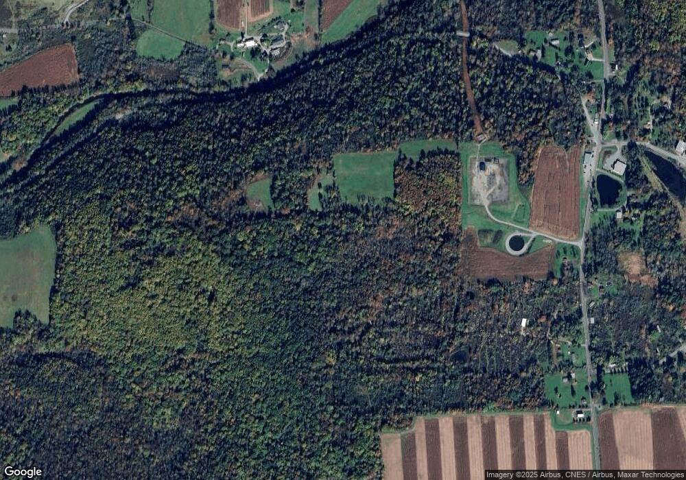
Map
Nearby Homes
- 1 Pennsylvania 29
- 0 Sr 29n Unit GSBSC256186
- 32 Shore Dr
- 22 Mount Airy Estate
- 828 W Avery Station Rd
- 7 Hollow Crest Rd
- 9 Marcy Rd
- 0 Dark Hollow Rd Unit GSBSC255658
- 5 Fieldcrest Dr
- 29 Ferncrest Dr
- 6193 Pennsylvania 87
- 1 Ford Dr
- 7 Doran Dr
- 9 Doran Dr
- 1 Sullivan St
- 40 Winola Ave
- 13 Reed St
- 43 1/2 Mccord St
- 5 E Harrison St
- 55 Margrow Rd