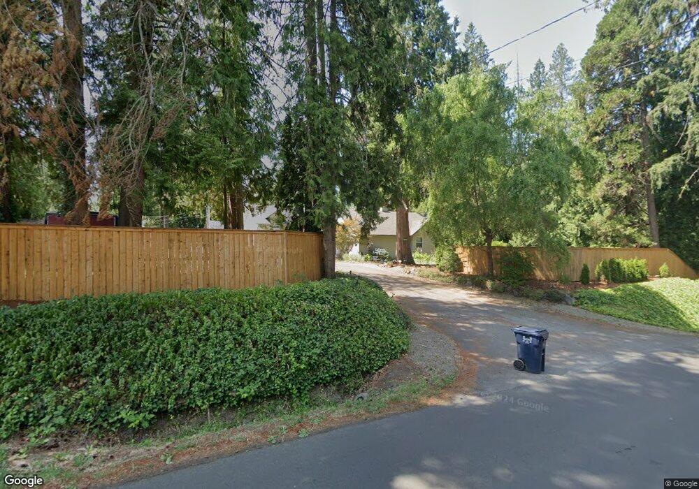
1205 SW 201st Ave Beaverton, OR 97006
Estimated Value: $811,000 - $1,070,622
5
Beds
4
Baths
3,616
Sq Ft
$264/Sq Ft
Est. Value
About This Home
This home is located at 1205 SW 201st Ave, Beaverton, OR 97006 and is currently estimated at $954,207, approximately $263 per square foot. 1205 SW 201st Ave is a home located in Washington County with nearby schools including L.C. Tobias Elementary School, R.A. Brown Middle School, and Century High School.
Ownership History
Date
Name
Owned For
Owner Type
Purchase Details
Closed on
Nov 4, 2020
Sold by
Flint Dave B and Bryon W Flint Living Trust
Bought by
Flint Darrel G
Current Estimated Value
Home Financials for this Owner
Home Financials are based on the most recent Mortgage that was taken out on this home.
Original Mortgage
$100,000
Interest Rate
2.8%
Mortgage Type
New Conventional
Purchase Details
Closed on
Oct 2, 2013
Sold by
Flint Byron W
Bought by
Flint Darrel G and Byron W Flint Living Trust
Create a Home Valuation Report for This Property
The Home Valuation Report is an in-depth analysis detailing your home's value as well as a comparison with similar homes in the area
Home Values in the Area
Average Home Value in this Area
Purchase History
| Date | Buyer | Sale Price | Title Company |
|---|---|---|---|
| Flint Darrel G | -- | Ticor Title | |
| Flint Darrel G | $38,310 | None Available | |
| Byron W Flint Living Trust | $538,310 | None Available |
Source: Public Records
Mortgage History
| Date | Status | Borrower | Loan Amount |
|---|---|---|---|
| Closed | Flint Darrel G | $100,000 |
Source: Public Records
Tax History Compared to Growth
Tax History
| Year | Tax Paid | Tax Assessment Tax Assessment Total Assessment is a certain percentage of the fair market value that is determined by local assessors to be the total taxable value of land and additions on the property. | Land | Improvement |
|---|---|---|---|---|
| 2026 | $6,861 | $476,740 | -- | -- |
| 2025 | $6,861 | $462,860 | -- | -- |
| 2024 | $6,668 | $449,380 | -- | -- |
| 2023 | $6,668 | $436,300 | $0 | $0 |
| 2022 | $6,426 | $436,300 | $0 | $0 |
| 2021 | $6,305 | $411,270 | $0 | $0 |
| 2020 | $6,175 | $399,300 | $0 | $0 |
| 2019 | $5,980 | $387,670 | $0 | $0 |
| 2018 | $5,720 | $376,380 | $0 | $0 |
| 2017 | $5,505 | $365,420 | $0 | $0 |
| 2016 | $5,362 | $354,780 | $0 | $0 |
| 2015 | $5,143 | $344,450 | $0 | $0 |
| 2014 | $5,055 | $334,420 | $0 | $0 |
Source: Public Records
Map
Nearby Homes
- 20035 SW Monson St
- 19820 SW Jette Ln
- 20382 SW Monson St
- 1553 SW 203rd Ave
- 887 SW 198th Place
- 20490 SW Frances St
- 1730 SW 203rd Ave
- 778 SW 198th Place
- 19805 SW Rock Rd
- 0 W Baseline Rd
- 19468 SW Euclid Ln
- 1439 SW 208th Ave
- 386 SW 203rd Terrace
- 1297 SW 209th Ave
- 19340 SW Blaine St
- 100 SW 195th Ave Unit 157
- 100 SW 195th Ave Unit 86
- 100 SW 195th Ave Unit 160
- 100 SW 195th Ave Unit 36
- 100 SW 195th Ave Unit 104
- 20240 SW Lela Ln
- 20258 SW Lela Ln
- 20175 SW Veta St
- 20276 SW Lela Ln
- 1240 SW 201st Ave
- 1295 SW 201st Ave
- 20195 SW Veta St
- 20294 SW Lela Ln
- 1200 SW 201st Ave
- 20215 SW Veta St
- 1125 SW 201st Ave
- 20150 SW Jette Ln
- 20228 SW Lela Ln
- 20310 SW Lela Ln
- 20235 SW Veta St
- 1300 SW 201st Ave
- 20220 SW Lela Ln
- 20265 SW Lela Ln
- 20162 SW Jette Ln
- 1122 SW 201st Ave