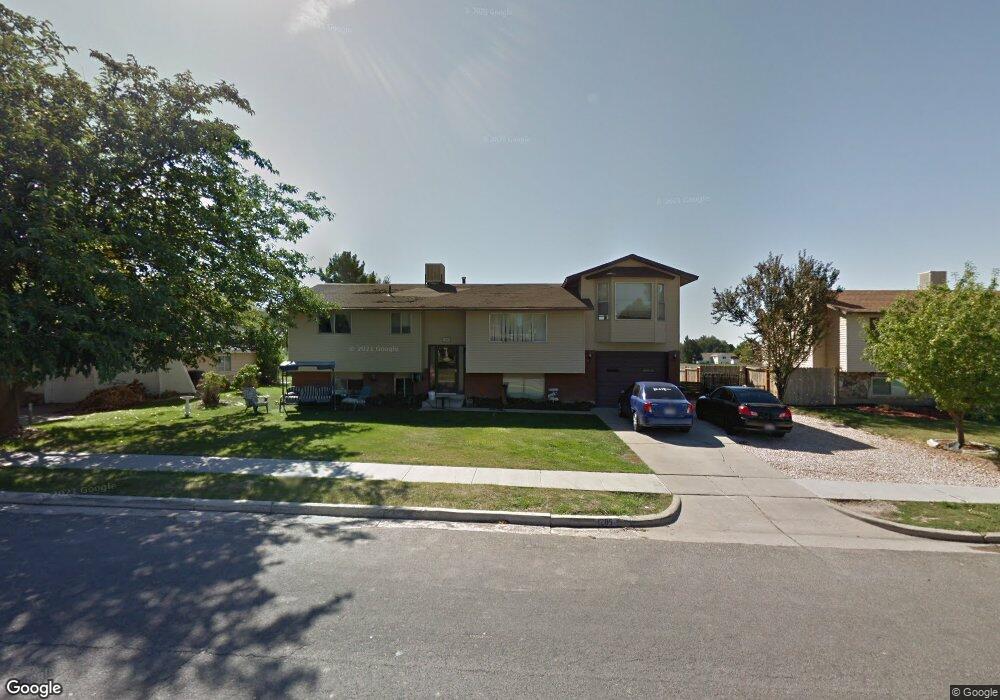
1205 W 1045 S Clearfield, UT 84015
Estimated Value: $444,000 - $531,000
3
Beds
1
Bath
1,580
Sq Ft
$303/Sq Ft
Est. Value
About This Home
This home is located at 1205 W 1045 S, Clearfield, UT 84015 and is currently estimated at $478,755, approximately $303 per square foot. 1205 W 1045 S is a home located in Davis County with nearby schools including Cook School, Syracuse Junior High School, and Syracuse High School.
Ownership History
Date
Name
Owned For
Owner Type
Purchase Details
Closed on
Mar 7, 2007
Sold by
Don Osterhout Jeffery and Osterhout Veronica
Bought by
Don Osterhout Jeffrey and Osterhout Veronica
Current Estimated Value
Home Financials for this Owner
Home Financials are based on the most recent Mortgage that was taken out on this home.
Original Mortgage
$156,750
Outstanding Balance
$105,174
Interest Rate
8.94%
Mortgage Type
New Conventional
Estimated Equity
$373,581
Purchase Details
Closed on
Dec 17, 1999
Sold by
Cabrera Raul H
Bought by
Osterhout Jeffery Don and Osterhout Veronica
Home Financials for this Owner
Home Financials are based on the most recent Mortgage that was taken out on this home.
Original Mortgage
$99,182
Interest Rate
7.69%
Mortgage Type
FHA
Create a Home Valuation Report for This Property
The Home Valuation Report is an in-depth analysis detailing your home's value as well as a comparison with similar homes in the area
Home Values in the Area
Average Home Value in this Area
Purchase History
We collect this data history from publicly available records. To have your information removed, we recommend requesting removal directly through your county’s website.
| Date | Buyer | Sale Price | Title Company |
|---|---|---|---|
| Don Osterhout Jeffrey | -- | Mountain View Title & Escrow | |
| Osterhout Jeffery Don | -- | Avis & Archibald Title |
Source: Public Records
Mortgage History
We collect this data history from publicly available records. To have your information removed, we recommend requesting removal directly through your county’s website.
| Date | Status | Borrower | Loan Amount |
|---|---|---|---|
| Open | Don Osterhout Jeffrey | $156,750 | |
| Closed | Osterhout Jeffery Don | $99,182 |
Source: Public Records
Tax History
| Year | Tax Paid | Tax Assessment Tax Assessment Total Assessment is a certain percentage of the fair market value that is determined by local assessors to be the total taxable value of land and additions on the property. | Land | Improvement |
|---|---|---|---|---|
| 2025 | $2,694 | $241,450 | $77,676 | $163,774 |
| 2024 | $2,614 | $235,950 | $74,221 | $161,729 |
| 2023 | $2,408 | $399,000 | $118,224 | $280,776 |
| 2022 | $2,516 | $225,500 | $67,181 | $158,319 |
| 2021 | $2,260 | $306,000 | $74,235 | $231,765 |
| 2020 | $1,978 | $266,000 | $62,963 | $203,037 |
| 2019 | $1,914 | $254,000 | $64,041 | $189,959 |
| 2018 | $1,717 | $222,000 | $56,843 | $165,157 |
| 2016 | $1,482 | $100,210 | $22,893 | $77,317 |
| 2015 | $1,419 | $91,465 | $22,893 | $68,572 |
| 2014 | $1,318 | $86,075 | $22,893 | $63,182 |
| 2013 | -- | $91,362 | $32,670 | $58,692 |
Source: Public Records
Map
Nearby Homes
- 1199 W 1045 S
- 1211 W 1045 S
- 1198 W 1045 S
- 1194 W 1100 S Unit 114
- 1214 W 1100 S Unit 112
- 1221 W 1045 S
- 1187 W 1045 S
- 1186 W 1045 S
- 1222 W 1100 S Unit 108
- 1222 W 1100 S Unit 110
- 1222 W 1100 S Unit 112
- 1222 W 1100 S
- 1222 W 1100 S Unit 111
- 1216 W 1045 S
- 1231 W 1045 S
- 1169 W 1045 S
- 1180 W 1045 S
- 1162 W 1100 S Unit 117
- 1162 W 1100 S
- 1192 W 1045 S
Your Personal Tour Guide
Ask me questions while you tour the home.