1205 W Highway 36 Preston, ID 83263
Estimated Value: $524,000 - $705,582
4
Beds
4
Baths
4,246
Sq Ft
$150/Sq Ft
Est. Value
About This Home
This home is located at 1205 W Highway 36, Preston, ID 83263 and is currently estimated at $636,861, approximately $149 per square foot. 1205 W Highway 36 is a home located in Franklin County with nearby schools including Oakwood Elementary School, Pioneer Elementary School, and Preston Junior High School.
Ownership History
Date
Name
Owned For
Owner Type
Purchase Details
Closed on
Sep 11, 2023
Sold by
Miller Robert J and Miller Patricia A
Bought by
Robert And Patricia Miller Living Trust and Miller
Current Estimated Value
Purchase Details
Closed on
Jun 9, 2021
Sold by
Miller William D and Miller Nicole
Bought by
Miller William and Miller Nicole
Home Financials for this Owner
Home Financials are based on the most recent Mortgage that was taken out on this home.
Original Mortgage
$249,999
Interest Rate
2.9%
Mortgage Type
Credit Line Revolving
Create a Home Valuation Report for This Property
The Home Valuation Report is an in-depth analysis detailing your home's value as well as a comparison with similar homes in the area
Home Values in the Area
Average Home Value in this Area
Purchase History
| Date | Buyer | Sale Price | Title Company |
|---|---|---|---|
| Robert And Patricia Miller Living Trust | -- | None Listed On Document | |
| Miller William | -- | Northern Title Company Of Id |
Source: Public Records
Mortgage History
| Date | Status | Borrower | Loan Amount |
|---|---|---|---|
| Previous Owner | Miller William | $249,999 |
Source: Public Records
Tax History Compared to Growth
Tax History
| Year | Tax Paid | Tax Assessment Tax Assessment Total Assessment is a certain percentage of the fair market value that is determined by local assessors to be the total taxable value of land and additions on the property. | Land | Improvement |
|---|---|---|---|---|
| 2024 | $2,095 | $532,328 | $61,231 | $471,097 |
| 2023 | $2,029 | $539,559 | $61,231 | $478,328 |
| 2022 | $2,776 | $514,559 | $36,231 | $478,328 |
| 2021 | $2,557 | $468,314 | $36,231 | $432,083 |
| 2020 | $2,589 | $425,265 | $37,070 | $388,195 |
| 2019 | $2,261 | $343,731 | $37,070 | $306,661 |
| 2018 | $2,334 | $339,416 | $29,075 | $310,341 |
| 2017 | $2,456 | $341,994 | $28,850 | $313,144 |
| 2016 | $2,590 | $334,920 | $28,850 | $306,070 |
| 2015 | $2,596 | $334,920 | $28,850 | $306,070 |
| 2014 | $24,667 | $315,030 | $28,850 | $286,180 |
| 2013 | $19,591 | $322,250 | $28,850 | $293,400 |
Source: Public Records
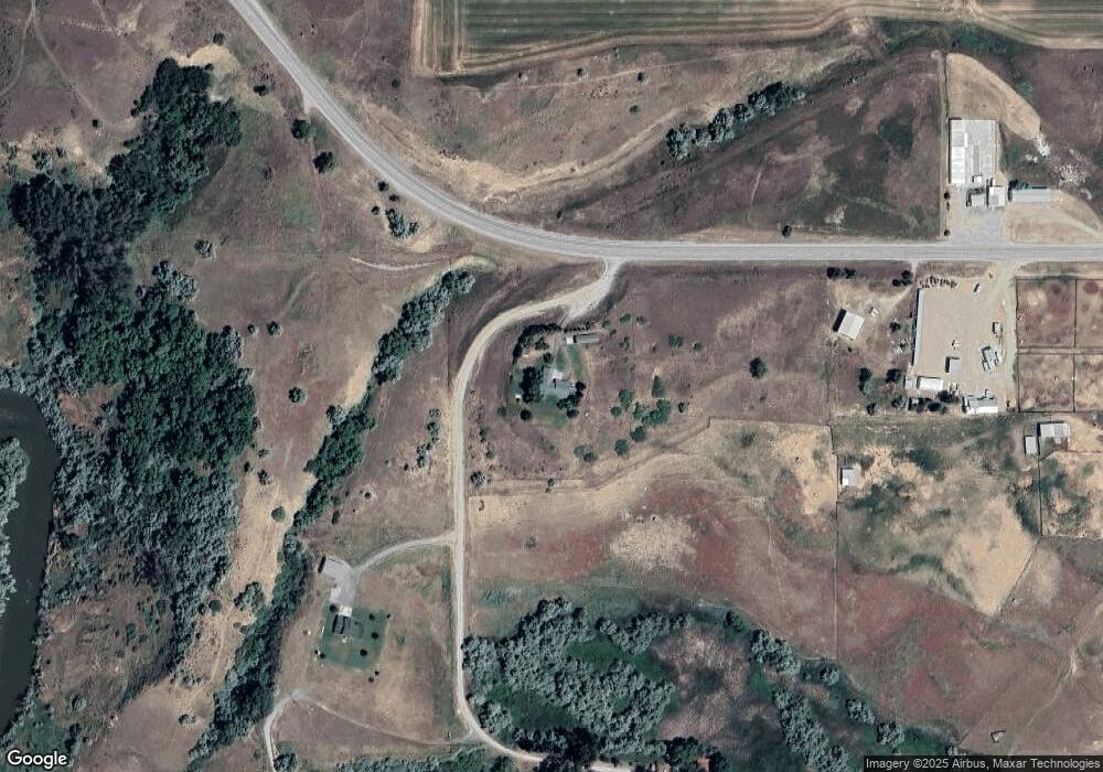
Map
Nearby Homes
- 1205 W Highway 36
- 1089 W Highway 36
- 1045 W Highway 36
- 1219 W Highway 36
- 102 N Bear River Bluffs
- 102 N Bear River Bluffs
- 102 N Bear River Bluffs
- 105 N Bear River Bluffs
- 1415 W Highway 36
- 114 Bear River Bluffs Rd
- 104 N Bear River Bluffs
- 109 N Bear River Bluffs
- 109 N Bear River Bluffs Unit 9
- 143 N 8th W
- 143 N 800 W
- 815 W Highway 36
- 106 N Bear River Bluffs
- 106 N Bear River Bluffs Unit 3&4
- 106 N Bear River Bluffs
- 794 W Oneida St