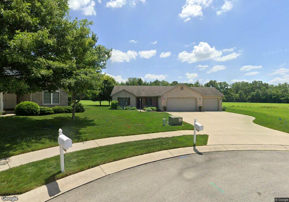
1205 W Sheffield Dr Muncie, IN 47304
Northview NeighborhoodEstimated Value: $193,000 - $219,743
3
Beds
2
Baths
1,268
Sq Ft
$163/Sq Ft
Est. Value
About This Home
This home is located at 1205 W Sheffield Dr, Muncie, IN 47304 and is currently estimated at $206,186, approximately $162 per square foot. 1205 W Sheffield Dr is a home located in Delaware County with nearby schools including North View Elementary School, Muncie Central High School, and Northside Middle School.
Ownership History
Date
Name
Owned For
Owner Type
Purchase Details
Closed on
Sep 22, 2011
Sold by
Hart Phillip D
Bought by
Yu Ming
Current Estimated Value
Purchase Details
Closed on
Sep 27, 2007
Sold by
Ideal Suburban Homes Inc
Bought by
Hart Phillip D
Home Financials for this Owner
Home Financials are based on the most recent Mortgage that was taken out on this home.
Original Mortgage
$20,802
Interest Rate
6.49%
Mortgage Type
Stand Alone Second
Create a Home Valuation Report for This Property
The Home Valuation Report is an in-depth analysis detailing your home's value as well as a comparison with similar homes in the area
Home Values in the Area
Average Home Value in this Area
Purchase History
| Date | Buyer | Sale Price | Title Company |
|---|---|---|---|
| Yu Ming | -- | Itic | |
| Hart Phillip D | -- | None Available |
Source: Public Records
Mortgage History
| Date | Status | Borrower | Loan Amount |
|---|---|---|---|
| Previous Owner | Hart Phillip D | $20,802 |
Source: Public Records
Tax History Compared to Growth
Tax History
| Year | Tax Paid | Tax Assessment Tax Assessment Total Assessment is a certain percentage of the fair market value that is determined by local assessors to be the total taxable value of land and additions on the property. | Land | Improvement |
|---|---|---|---|---|
| 2024 | $1,540 | $141,200 | $24,300 | $116,900 |
| 2023 | $1,624 | $142,600 | $24,300 | $118,300 |
| 2022 | $1,574 | $145,400 | $24,300 | $121,100 |
| 2021 | $1,511 | $139,100 | $27,200 | $111,900 |
| 2020 | $1,524 | $140,400 | $27,200 | $113,200 |
| 2019 | $1,420 | $130,000 | $20,900 | $109,100 |
| 2018 | $1,406 | $128,600 | $19,000 | $109,600 |
| 2017 | $1,409 | $128,900 | $19,500 | $109,400 |
| 2016 | $1,411 | $130,100 | $19,500 | $110,600 |
| 2014 | $1,355 | $131,200 | $19,500 | $111,700 |
| 2013 | -- | $131,200 | $19,500 | $111,700 |
Source: Public Records
Map
Nearby Homes
- 66 Falcon Point Ct
- 70 Falcon Point Ct
- 69 Falcon Point Ct
- 68 Falcon Point Ct
- 67 Falcon Point Ct
- 4115 N Ball Ave
- 0 Emerald Pointe Way Unit 202508714
- 73 Emerald Pointe Way
- 72 Emerald Pointe Way
- 3705 N New York Ave
- 3613 N Locust St
- 3609 N Locust St
- 3509 N Lanewood Dr
- 4210 N Oakwood Ave
- 400 W Skyway Dr
- 1901 W Riggin Rd
- 4501 N Wheeling 9b-3 Ave Unit 9B-3
- 309 W Harvard Ave
- 2210 W Christy Ln
- 3005 N Pauline Ave
- 1209 W Sheffield Dr
- 1201 W Sheffield Dr
- 1213 W Sheffield Dr
- 1301 W Sheffield Dr
- 1212 W Sheffield Dr
- 1218 W Sheffield Dr
- 1305 W Sheffield Dr
- 1101 W Nature Pointe Ln
- 1300 W Sheffield Dr
- 7 W Sheffield Dr
- 11 W Sheffield Dr
- 12 W Sheffield Dr
- 1105 W Nature Pointe Ln
- 1309 W Sheffield Dr
- 1304 W Sheffield Dr
- 4009 N Virginia Ave
- 4200 N New York Ave
- 4204 N New York Ave
- 4114 N New York Ave
- 4008 N Virginia Ave