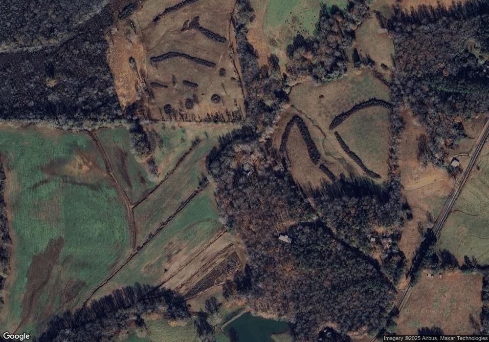
1205 Watts Rd Bowdon, GA 30108
Estimated Value: $294,249 - $454,000
4
Beds
2
Baths
2,254
Sq Ft
$166/Sq Ft
Est. Value
About This Home
This home is located at 1205 Watts Rd, Bowdon, GA 30108 and is currently estimated at $374,416, approximately $166 per square foot. 1205 Watts Rd is a home located in Carroll County with nearby schools including Bowdon Elementary School, Bowdon Middle School, and Bowdon High School.
Ownership History
Date
Name
Owned For
Owner Type
Purchase Details
Closed on
May 7, 2010
Sold by
Citimortgage Inc
Bought by
Richardson Patsy J
Current Estimated Value
Purchase Details
Closed on
Nov 3, 2009
Sold by
White Richard
Bought by
Citimortgage Inc
Purchase Details
Closed on
Apr 25, 2003
Sold by
White Richard B and White Joni H
Bought by
White Richard B and White Joni J
Purchase Details
Closed on
Jul 5, 2001
Sold by
Jordan James H
Bought by
White Richard B and White Jo
Purchase Details
Closed on
Jan 28, 1986
Bought by
Jordan
Create a Home Valuation Report for This Property
The Home Valuation Report is an in-depth analysis detailing your home's value as well as a comparison with similar homes in the area
Home Values in the Area
Average Home Value in this Area
Purchase History
| Date | Buyer | Sale Price | Title Company |
|---|---|---|---|
| Richardson Patsy J | $20,000 | -- | |
| Citimortgage Inc | $82,388 | -- | |
| White Richard B | -- | -- | |
| White Richard B | -- | -- | |
| Jordan | -- | -- |
Source: Public Records
Tax History Compared to Growth
Tax History
| Year | Tax Paid | Tax Assessment Tax Assessment Total Assessment is a certain percentage of the fair market value that is determined by local assessors to be the total taxable value of land and additions on the property. | Land | Improvement |
|---|---|---|---|---|
| 2024 | $1,748 | $104,241 | $8,522 | $95,719 |
| 2023 | $1,748 | $93,818 | $6,818 | $87,000 |
| 2022 | $1,371 | $74,322 | $4,545 | $69,777 |
| 2021 | $1,166 | $60,915 | $1,078 | $59,837 |
| 2020 | $1,053 | $54,591 | $980 | $53,611 |
| 2019 | $960 | $49,234 | $980 | $48,254 |
| 2018 | $842 | $42,276 | $980 | $41,296 |
| 2017 | $843 | $42,276 | $980 | $41,296 |
| 2016 | $844 | $42,276 | $980 | $41,296 |
| 2015 | $483 | $21,282 | $1,631 | $19,652 |
| 2014 | $486 | $21,283 | $1,631 | $19,652 |
Source: Public Records
Map
Nearby Homes
- 1195 Watts Rd
- 1770 Georgia 100
- 1794 Georgia 100
- 721 Wedowee St
- 746 Dot Rd
- 717 Wedowee St
- 101 Winding Road - Lot 1a & 1b & Lot 2
- 710 Mitchell Ave
- 674 Wedowee St
- 110 Bartlett Cir
- 611 Mitchell Ave
- 425 Mitchell Ave
- 992 Reavesville Rd
- 700 W College St
- 215 Wessmanor Dr
- 0 Ayers Rd Unit 148384
- 0 Ayers Rd Unit 10639511
- 0 Ayers Rd Unit 7678056
- 1254 Ayers Rd
- 866 Sandy Flat Rd
- 1185 Watts Rd
- 1249 Watts Rd
- 1109 Watts Rd
- 1220 Watts Rd
- 1045 Watts Rd
- 1250 Watts Rd
- 1007 Watts Rd
- 1313 Watts Rd
- 914 Sandy Flat Rd
- 965 Watts Rd
- 1400 Watts Rd
- 980 Sandy Flat Rd
- 921 Sandy Flat Rd
- 927 Watts Rd
- 971 Sandy Flat Rd
- 835 Sandy Flat Rd
- 820 Sandy Flat Rd
- 1071 Sandy Flat Rd
- 1501 Watts Rd
