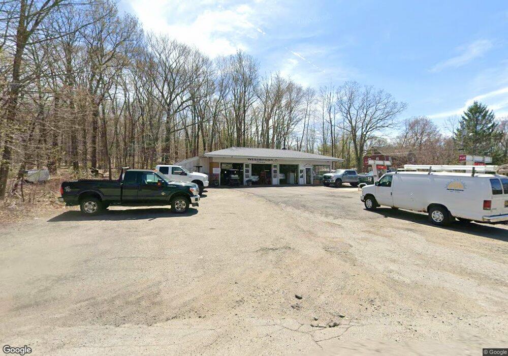
1205 Westbrook Rd West Milford, NJ 07480
Estimated Value: $476,000
--
Bed
--
Bath
--
Sq Ft
0.4
Acres
About This Home
This home is located at 1205 Westbrook Rd, West Milford, NJ 07480 and is currently estimated at $476,000. 1205 Westbrook Rd is a home with nearby schools including Macopin Middle School and West Milford High School.
Ownership History
Date
Name
Owned For
Owner Type
Purchase Details
Closed on
Nov 29, 2023
Sold by
Westbrook Friendly Service Inc
Bought by
Westbrook Service Llc
Current Estimated Value
Home Financials for this Owner
Home Financials are based on the most recent Mortgage that was taken out on this home.
Original Mortgage
$170,000
Outstanding Balance
$148,420
Interest Rate
7.29%
Mortgage Type
New Conventional
Estimated Equity
$327,580
Create a Home Valuation Report for This Property
The Home Valuation Report is an in-depth analysis detailing your home's value as well as a comparison with similar homes in the area
Home Values in the Area
Average Home Value in this Area
Purchase History
| Date | Buyer | Sale Price | Title Company |
|---|---|---|---|
| Westbrook Service Llc | $170,000 | Chicago Title | |
| Westbrook Service Llc | $170,000 | Chicago Title |
Source: Public Records
Mortgage History
| Date | Status | Borrower | Loan Amount |
|---|---|---|---|
| Open | Westbrook Service Llc | $170,000 | |
| Closed | Westbrook Service Llc | $170,000 |
Source: Public Records
Tax History Compared to Growth
Tax History
| Year | Tax Paid | Tax Assessment Tax Assessment Total Assessment is a certain percentage of the fair market value that is determined by local assessors to be the total taxable value of land and additions on the property. | Land | Improvement |
|---|---|---|---|---|
| 2025 | $14,165 | $349,400 | $232,400 | $117,000 |
| 2024 | $14,238 | $349,400 | $232,400 | $117,000 |
| 2022 | $13,515 | $349,400 | $232,400 | $117,000 |
| 2021 | $13,225 | $349,400 | $232,400 | $117,000 |
| 2020 | $13,085 | $349,400 | $232,400 | $117,000 |
| 2019 | $12,910 | $349,400 | $232,400 | $117,000 |
| 2018 | $12,879 | $349,400 | $232,400 | $117,000 |
| 2017 | $12,938 | $349,400 | $232,400 | $117,000 |
| 2016 | $12,959 | $349,400 | $232,400 | $117,000 |
| 2015 | $12,809 | $349,400 | $232,400 | $117,000 |
| 2014 | $12,498 | $349,400 | $232,400 | $117,000 |
Source: Public Records
Map
Nearby Homes
- 16 Pond View Dr
- 54 Nosenzo Pond Rd
- 0 Laurel Hollow
- 66 Lindys Dr
- 54 Broadway
- 24 Eagles Nest Terrace
- 11 Eagles Nest Terrace
- 3 Broadway
- 33 Eagles Nest Terrace
- 2 Heritage Dr
- 43 Bisset Dr
- 60 Eagles Nest Terrace
- 0 Post Brook Rd Unit 25008921
- 0 Post Brook Rd Unit 3952366
- 2 Iron Hill
- 68 Heritage Dr
- 174 Kitchell Lake Dr
- 45 Heritage Dr
- 7 Rockburn Pass
- 82 Heritage Dr
- 1204 Westbrook Rd
- 711 Otterhole Rd
- 703 Otterhole Rd
- 702 Otterhole Rd
- 1194 Westbrook Rd
- 1187 Westbrook Rd
- 695 Otterhole Rd
- 1228 Westbrook Rd
- 688 Otterhole Rd
- 1181 Westbrook Rd
- 685 Otterhole Rd
- 1234 Westbrook Rd
- 0 Ridge Rd
- 4 Hillview Ct
- 10 Hillview Ct
- 680 Otterhole Rd
- 16 Hillview Ct
- 22 Hillview Ct
- 26 Hillview Ct
- 675 Otterhole Rd