12054 6th Ave Millersport, OH 43046
Estimated Value: $94,000 - $228,000
2
Beds
1
Bath
756
Sq Ft
$226/Sq Ft
Est. Value
About This Home
This home is located at 12054 6th Ave, Millersport, OH 43046 and is currently estimated at $171,216, approximately $226 per square foot. 12054 6th Ave is a home located in Fairfield County with nearby schools including Millersport Elementary School and Millersport Jr/Sr High School.
Ownership History
Date
Name
Owned For
Owner Type
Purchase Details
Closed on
Aug 22, 2002
Sold by
Pairan Mary C
Bought by
Hannan Thomas
Current Estimated Value
Home Financials for this Owner
Home Financials are based on the most recent Mortgage that was taken out on this home.
Original Mortgage
$35,800
Interest Rate
6.63%
Mortgage Type
New Conventional
Create a Home Valuation Report for This Property
The Home Valuation Report is an in-depth analysis detailing your home's value as well as a comparison with similar homes in the area
Home Values in the Area
Average Home Value in this Area
Purchase History
| Date | Buyer | Sale Price | Title Company |
|---|---|---|---|
| Hannan Thomas | $32,090 | -- |
Source: Public Records
Mortgage History
| Date | Status | Borrower | Loan Amount |
|---|---|---|---|
| Previous Owner | Hannan Thomas | $35,800 |
Source: Public Records
Tax History Compared to Growth
Tax History
| Year | Tax Paid | Tax Assessment Tax Assessment Total Assessment is a certain percentage of the fair market value that is determined by local assessors to be the total taxable value of land and additions on the property. | Land | Improvement |
|---|---|---|---|---|
| 2024 | $1,393 | $19,960 | $8,700 | $11,260 |
| 2023 | $907 | $19,960 | $8,700 | $11,260 |
| 2022 | $912 | $19,960 | $8,700 | $11,260 |
| 2021 | $790 | $15,240 | $7,300 | $7,940 |
| 2020 | $793 | $15,240 | $7,300 | $7,940 |
| 2019 | $793 | $15,240 | $7,300 | $7,940 |
| 2018 | $823 | $12,610 | $6,680 | $5,930 |
| 2017 | $823 | $14,070 | $6,680 | $7,390 |
| 2016 | $768 | $14,070 | $6,680 | $7,390 |
| 2015 | $764 | $13,730 | $6,680 | $7,050 |
| 2014 | $643 | $13,730 | $6,680 | $7,050 |
| 2013 | $643 | $13,730 | $6,680 | $7,050 |
Source: Public Records
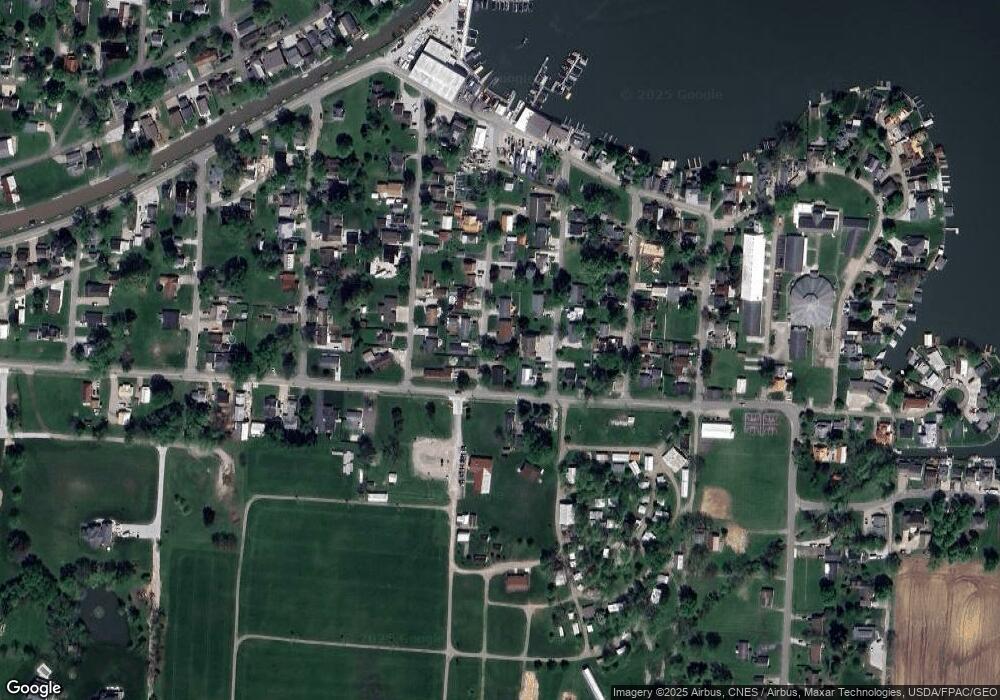
Map
Nearby Homes
- 12055 7th Ave
- 2595 Canal Dr
- 2484 Mallard Point Ln
- 12291 Ohio Ave
- 2485 Mallard Point Ln
- 2582 E Park St
- 2592 Summit St
- 3317 S Bank Rd NE
- 3333 S Bank Rd NE
- 2583 Mallard Point Ln
- 2486 Mallard Point Ln
- 3424 S Bank Rd NE
- 0 Blacklick-Eastern Rd NE
- 11999 Broad St
- 11751 Lancaster St
- 3427 S Bank Rd NE
- 12656 W Bank Dr NE
- 12580 W Bank Dr NE
- 12946 W Bank Dr NE
- 12700 Onion Island NE
- 12040 6th Ave
- 12076 6th Ave
- 171 7th Ave Unit Lot 171
- 2930 Chautauqua Blvd
- 2930 Chautauqua Blvd
- 12065 6th Ave
- 12080 6th Ave
- 12071 6th Ave
- 12083 7th Ave
- 12085 6th Ave
- 12052 5th Ave
- 2925 Chatauqua Blvd
- 2935 Chatauqua Blvd
- 2935 Chautauqua Blvd
- 2960 Chautauqua Blvd
- 2960 Chatauqua Blvd
- 2880 Chatauqua Blvd
- 2880 Chautauqua Blvd Unit VD
- 12064 7th Ave
- 12076 7th Ave