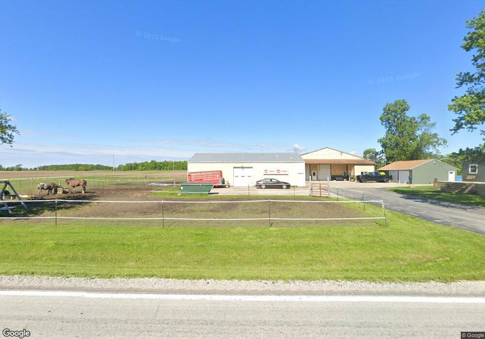
12057 State Route 637 Paulding, OH 45879
Estimated Value: $323,333 - $403,000
3
Beds
2
Baths
2,086
Sq Ft
$175/Sq Ft
Est. Value
About This Home
This home is located at 12057 State Route 637, Paulding, OH 45879 and is currently estimated at $364,083, approximately $174 per square foot. 12057 State Route 637 is a home located in Paulding County with nearby schools including Paulding High School.
Ownership History
Date
Name
Owned For
Owner Type
Purchase Details
Closed on
Jan 27, 2025
Sold by
Mcmichael Shelby J and Carlisle Shelby J
Bought by
Carlisle Tyler R
Current Estimated Value
Purchase Details
Closed on
Nov 8, 2017
Sold by
Knueve Holdings Llc
Bought by
Carlisle Tyler R and Mcmichael Shelby J
Home Financials for this Owner
Home Financials are based on the most recent Mortgage that was taken out on this home.
Original Mortgage
$196,910
Interest Rate
3.83%
Mortgage Type
New Conventional
Purchase Details
Closed on
Apr 4, 2006
Sold by
Elston Eric S and Elston Karen K
Bought by
Knueve Holding Llc
Home Financials for this Owner
Home Financials are based on the most recent Mortgage that was taken out on this home.
Original Mortgage
$265,500
Interest Rate
6%
Mortgage Type
Seller Take Back
Create a Home Valuation Report for This Property
The Home Valuation Report is an in-depth analysis detailing your home's value as well as a comparison with similar homes in the area
Purchase History
We collect this data history from publicly available records. To have your information removed, we recommend requesting removal directly through your county’s website.
| Date | Buyer | Sale Price | Title Company |
|---|---|---|---|
| Carlisle Tyler R | -- | None Listed On Document | |
| Carlisle Tyler R | $243,000 | None Available | |
| Knueve Holding Llc | $295,000 | None Available |
Source: Public Records
Mortgage History
We collect this data history from publicly available records. To have your information removed, we recommend requesting removal directly through your county’s website.
| Date | Status | Borrower | Loan Amount |
|---|---|---|---|
| Previous Owner | Carlisle Tyler R | $196,910 | |
| Previous Owner | Knueve Holding Llc | $265,500 |
Source: Public Records
Tax History
| Year | Tax Paid | Tax Assessment Tax Assessment Total Assessment is a certain percentage of the fair market value that is determined by local assessors to be the total taxable value of land and additions on the property. | Land | Improvement |
|---|---|---|---|---|
| 2025 | $3,639 | $106,970 | $14,740 | $92,230 |
| 2024 | $3,639 | $82,290 | $11,340 | $70,950 |
| 2023 | $2,956 | $82,290 | $11,340 | $70,950 |
| 2022 | $2,818 | $82,290 | $11,340 | $70,950 |
| 2021 | $2,750 | $72,630 | $11,340 | $61,290 |
| 2020 | $2,840 | $72,630 | $11,340 | $61,290 |
| 2019 | $2,866 | $69,720 | $11,340 | $58,380 |
| 2018 | $2,772 | $69,720 | $11,340 | $58,380 |
| 2017 | $2,810 | $69,720 | $11,340 | $58,380 |
| 2016 | $2,741 | $69,720 | $11,340 | $58,380 |
| 2015 | $1,937 | $49,920 | $10,470 | $39,450 |
| 2014 | $1,927 | $49,920 | $10,470 | $39,450 |
| 2013 | $1,965 | $49,920 | $10,470 | $39,450 |
Source: Public Records
Map
Nearby Homes
- 14364 Road 171
- 14354 Road 171
- 15051 Road 179
- 13795 Nancy St
- 13502 Rita St
- 22266 Road 128
- 1157 Emerald Rd
- 22417 Road 128
- 742 E Perry St
- 301 N Main St
- 516 N Williams St
- 17341 Road 139
- 12035 Royer Ave
- 335 S Williams St
- 713 N Walnut St
- 111 W Wayne St
- 830 N Walnut St
- 745 Woodring Ave
- 420 W Harrison St
- 14831 State Route 66
- 18010 Road 146
- 11957 State Route 637
- 18126 Road 146
- 11776 State Route 637
- 17674 Road 146
- 17603 Road 146
- 12517 State Route 637
- 18492 Road 146
- 17352 Road 146
- 18633 Road 146
- 17173 Road 146
- 12847 State Route 637
- 18857 Road 146
- 17124 Road 156
- 12376 Road 137
- 17830 County Road 156
- 17830 Co Rd 156
- 17057 Road 156
- 17972 Road 156
- 17868 Road 156
Your Personal Tour Guide
Ask me questions while you tour the home.