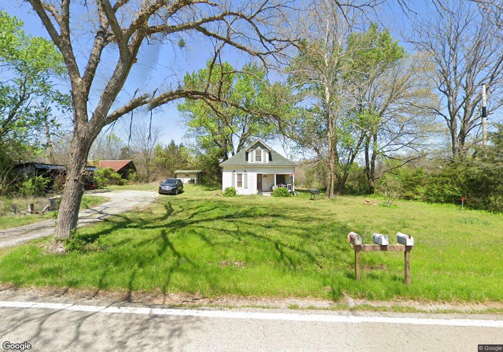
12058 W Highway 156 West Fork, AR 72774
Estimated Value: $186,809 - $342,000
4
Beds
1
Bath
1,156
Sq Ft
$219/Sq Ft
Est. Value
About This Home
This home is located at 12058 W Highway 156, West Fork, AR 72774 and is currently estimated at $252,702, approximately $218 per square foot. 12058 W Highway 156 is a home located in Washington County with nearby schools including West Fork Elementary School, West Fork Middle School, and West Fork High School.
Ownership History
Date
Name
Owned For
Owner Type
Purchase Details
Closed on
Mar 31, 2010
Sold by
Elliott William and Elliott Charie M
Bought by
Durisseau Michael A and Durisseau Jessica R
Current Estimated Value
Home Financials for this Owner
Home Financials are based on the most recent Mortgage that was taken out on this home.
Original Mortgage
$78,551
Outstanding Balance
$53,396
Interest Rate
5.5%
Mortgage Type
FHA
Estimated Equity
$199,306
Purchase Details
Closed on
Apr 16, 1980
Bought by
Pierson Michael A
Create a Home Valuation Report for This Property
The Home Valuation Report is an in-depth analysis detailing your home's value as well as a comparison with similar homes in the area
Home Values in the Area
Average Home Value in this Area
Purchase History
| Date | Buyer | Sale Price | Title Company |
|---|---|---|---|
| Durisseau Michael A | $80,000 | Mercury Title Llc | |
| Pierson Michael A | $23,000 | -- | |
| Pierson Michael A | -- | -- |
Source: Public Records
Mortgage History
| Date | Status | Borrower | Loan Amount |
|---|---|---|---|
| Open | Durisseau Michael A | $78,551 |
Source: Public Records
Tax History Compared to Growth
Tax History
| Year | Tax Paid | Tax Assessment Tax Assessment Total Assessment is a certain percentage of the fair market value that is determined by local assessors to be the total taxable value of land and additions on the property. | Land | Improvement |
|---|---|---|---|---|
| 2025 | $123 | $22,760 | $6,750 | $16,010 |
| 2024 | $192 | $22,760 | $6,750 | $16,010 |
| 2023 | $239 | $22,760 | $6,750 | $16,010 |
| 2022 | $308 | $14,540 | $2,550 | $11,990 |
| 2021 | $281 | $14,540 | $2,550 | $11,990 |
| 2020 | $254 | $14,540 | $2,550 | $11,990 |
| 2019 | $227 | $11,480 | $2,250 | $9,230 |
| 2018 | $252 | $11,480 | $2,250 | $9,230 |
| 2017 | $185 | $11,480 | $2,250 | $9,230 |
| 2016 | $223 | $11,480 | $2,250 | $9,230 |
| 2015 | $150 | $11,480 | $2,250 | $9,230 |
| 2014 | $137 | $10,460 | $2,250 | $8,210 |
Source: Public Records
Map
Nearby Homes
- 12063 W Highway 156
- 12685 N Billingsley Rd
- 10973 Arkansas 156
- 14648 Director Rd
- 0 Pioneer (Wc 3280) Rd Unit 1329392
- 12283 Pine Tree Rd
- 0 Pine Tree Rd
- 14516 Friendship Church Rd
- 14815 Paulk Rd
- 12786 Centerpoint Church Rd
- 00 8.86 acres Hubbard Rd
- 00 Hubbard Rd
- 12996 Rocky Hill (Wc 403) Rd
- 13653 W Mountain Rd
- 815 James Place
- 30.47 Acres Onda Mountain (Wc 213)
- 13582 S Highway 170
- 875 James Place
- 14673 Union Star Rd
- 15607 Hubbard Rd
- 12055 W Highway 156
- 12063 Arkansas 156
- 11960 W Highway 156
- 12085 W Highway 156
- 11954 Hogeye Rd
- 13919 Westwood Hills Rd
- 13521 Westwood Hills Rd
- 11922 W Highway 156
- 11922 Hogeye Rd
- 11937 W Highway 156
- 11916 W Highway 156
- 11937 Arkansas 156
- 11916 Arkansas 156
- 13520 Westwood Hills Rd
- 13506 Westwood Hills Rd
- 11867 W Hwy 156
- 11867 W Highway 156 Unit Lot N
- 11867 W Highway 156
- 12277 W Highway 156
- 0 Hwy 156 Unit 275505