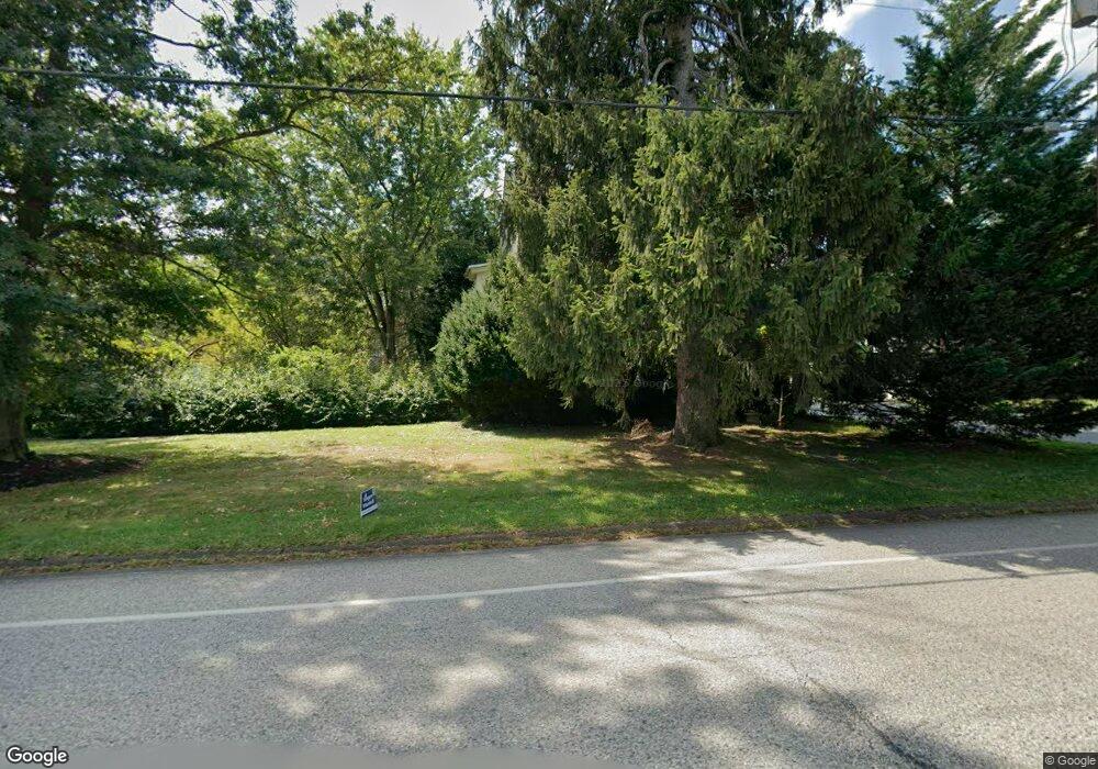
1206 Cowpath Rd Hatfield, PA 19440
Estimated Value: $425,573 - $461,000
4
Beds
2
Baths
2,331
Sq Ft
$190/Sq Ft
Est. Value
About This Home
This home is located at 1206 Cowpath Rd, Hatfield, PA 19440 and is currently estimated at $441,893, approximately $189 per square foot. 1206 Cowpath Rd is a home located in Montgomery County with nearby schools including Oak Park El School, Pennfield Middle School, and North Penn Senior High School.
Ownership History
Date
Name
Owned For
Owner Type
Purchase Details
Closed on
Oct 26, 2000
Sold by
First Horizon Home Loan Corp
Bought by
Mclaughlin Rebecca D
Current Estimated Value
Purchase Details
Closed on
Mar 6, 2000
Sold by
Culp Christopher A and Culp Deborah J
Bought by
Ft Mtg Companies and Ftb Mtg Services
Create a Home Valuation Report for This Property
The Home Valuation Report is an in-depth analysis detailing your home's value as well as a comparison with similar homes in the area
Home Values in the Area
Average Home Value in this Area
Purchase History
| Date | Buyer | Sale Price | Title Company |
|---|---|---|---|
| Mclaughlin Rebecca D | $115,000 | -- | |
| Ft Mtg Companies | $1,614 | -- |
Source: Public Records
Tax History
| Year | Tax Paid | Tax Assessment Tax Assessment Total Assessment is a certain percentage of the fair market value that is determined by local assessors to be the total taxable value of land and additions on the property. | Land | Improvement |
|---|---|---|---|---|
| 2025 | $4,835 | $120,770 | $48,970 | $71,800 |
| 2024 | $4,835 | $120,770 | $48,970 | $71,800 |
| 2023 | $4,628 | $120,770 | $48,970 | $71,800 |
| 2022 | $4,477 | $120,770 | $48,970 | $71,800 |
| 2021 | $4,350 | $120,770 | $48,970 | $71,800 |
| 2020 | $4,247 | $120,770 | $48,970 | $71,800 |
| 2019 | $4,176 | $120,770 | $48,970 | $71,800 |
Source: Public Records
Map
Nearby Homes
- 1315 Deer Run Rd
- 1514 Maple Ave
- 1714 Lydia Dr
- 1943 Linden Ln
- 29 W Vine St
- 2296 Bramble Gate Dr
- 369 Wheatfield Cir
- 7 Fortuna Dr
- 2 Fortuna Dr
- 6 Fortuna Dr
- 2288 Rebecca Dr
- 109 Hickory Dr
- 1212 Wright St
- 105 S Main St
- 113 Hickory Dr
- Lot 0 Fortuna Dr
- 2732 Valley Woods Rd
- 1118 Emerald Ave
- 0 Fairmount St
- 416 Oak Park Rd
- 1208 Cowpath Rd
- 1186 Cowpath Rd
- 1888 Cindy Ln
- 1230 Cowpath Rd
- 1880 Cindy Ln
- 1229 Cowpath Rd
- 1219 Cowpath Rd
- 1240 Cowpath Rd
- 1887 Cindy Ln
- 1872 Cindy Ln
- 1301 Cowpath Rd
- 1879 Cindy Ln
- 1307 Cowpath Rd
- 1221 Cowpath Rd
- 1225 Cowpath Rd
- 1106 Cowpath Rd
- 1871 Cindy Ln
- 1306 Cowpath Rd
- 1864 Cindy Ln
- 1269 Cowpath Rd
Your Personal Tour Guide
Ask me questions while you tour the home.