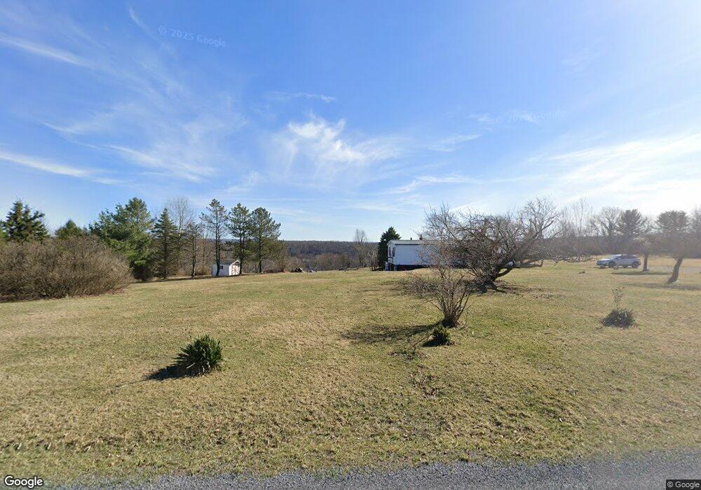
1206 Dillon Rd Coalport, PA 16627
Estimated Value: $116,000 - $167,000
3
Beds
2
Baths
--
Sq Ft
4.1
Acres
About This Home
This home is located at 1206 Dillon Rd, Coalport, PA 16627 and is currently estimated at $146,896. 1206 Dillon Rd is a home located in Clearfield County with nearby schools including Glendale Elementary School and Glendale Junior/Senior High School.
Ownership History
Date
Name
Owned For
Owner Type
Purchase Details
Closed on
Oct 31, 2012
Sold by
Dillon Stacey N
Bought by
Dillon Tammy L
Current Estimated Value
Home Financials for this Owner
Home Financials are based on the most recent Mortgage that was taken out on this home.
Original Mortgage
$52,200
Outstanding Balance
$22,997
Interest Rate
3.5%
Mortgage Type
New Conventional
Estimated Equity
$123,899
Purchase Details
Closed on
Mar 3, 2009
Sold by
Beneficial Consumer Discount Company
Bought by
Dillon Stacey N
Home Financials for this Owner
Home Financials are based on the most recent Mortgage that was taken out on this home.
Original Mortgage
$43,900
Interest Rate
4.87%
Mortgage Type
New Conventional
Purchase Details
Closed on
Dec 9, 2008
Sold by
Lightner Ronald C
Bought by
Beneficial Consumer Discount Company
Create a Home Valuation Report for This Property
The Home Valuation Report is an in-depth analysis detailing your home's value as well as a comparison with similar homes in the area
Home Values in the Area
Average Home Value in this Area
Purchase History
| Date | Buyer | Sale Price | Title Company |
|---|---|---|---|
| Dillon Tammy L | $65,284 | None Available | |
| Dillon Stacey N | $54,900 | None Available | |
| Beneficial Consumer Discount Company | -- | None Available |
Source: Public Records
Mortgage History
| Date | Status | Borrower | Loan Amount |
|---|---|---|---|
| Open | Dillon Tammy L | $52,200 | |
| Previous Owner | Dillon Stacey N | $43,900 |
Source: Public Records
Tax History Compared to Growth
Tax History
| Year | Tax Paid | Tax Assessment Tax Assessment Total Assessment is a certain percentage of the fair market value that is determined by local assessors to be the total taxable value of land and additions on the property. | Land | Improvement |
|---|---|---|---|---|
| 2025 | $1,677 | $21,300 | $3,850 | $17,450 |
| 2024 | $266 | $10,650 | $1,925 | $8,725 |
| 2023 | $1,544 | $10,650 | $1,925 | $8,725 |
| 2022 | $1,502 | $10,650 | $1,925 | $8,725 |
| 2021 | $1,546 | $10,650 | $1,925 | $8,725 |
| 2020 | $1,546 | $10,650 | $1,925 | $8,725 |
| 2019 | $1,507 | $10,650 | $1,925 | $8,725 |
| 2018 | $1,311 | $10,650 | $1,925 | $8,725 |
| 2017 | $1,348 | $10,650 | $1,925 | $8,725 |
| 2016 | -- | $10,650 | $1,925 | $8,725 |
| 2015 | -- | $10,650 | $1,925 | $8,725 |
| 2014 | -- | $10,650 | $1,925 | $8,725 |
Source: Public Records
Map
Nearby Homes
- 0 Heverly Blvd
- 1460 Main St
- 49 Beers Ln
- 123 Liberty St
- 103 1st Ave
- 1683 Beaver Valley Rd
- 1675 Beaver Valley Rd
- 773 Church Hill Rd
- 275 Frye Rd
- 31 Acres Along Saint Lawrence Rd
- 5480 St Lawrence Rd
- 53 Hill St
- 792 Executive Dr
- 122 Scenic Cir
- 102 S Locust Ln
- 156 Vista View Rd
- 124 Hayes Rd
- 128 N Crescent Dr
- 150 Melody Ln
- 237 N Locust Ln