1206 E Abrams Rd Bloomfield, IN 47424
Estimated Value: $283,000 - $321,000
3
Beds
3
Baths
1,672
Sq Ft
$184/Sq Ft
Est. Value
About This Home
This home is located at 1206 E Abrams Rd, Bloomfield, IN 47424 and is currently estimated at $307,699, approximately $184 per square foot. 1206 E Abrams Rd is a home with nearby schools including Bloomfield Elementary School and Bloomfield Junior/Senior High School.
Ownership History
Date
Name
Owned For
Owner Type
Purchase Details
Closed on
Aug 3, 2009
Sold by
Consumer Solutions Reo Llc
Bought by
Maxwell Judith L
Current Estimated Value
Create a Home Valuation Report for This Property
The Home Valuation Report is an in-depth analysis detailing your home's value as well as a comparison with similar homes in the area
Purchase History
| Date | Buyer | Sale Price | Title Company |
|---|---|---|---|
| Maxwell Judith L | -- | Investors Titlecorp |
Source: Public Records
Tax History
| Year | Tax Paid | Tax Assessment Tax Assessment Total Assessment is a certain percentage of the fair market value that is determined by local assessors to be the total taxable value of land and additions on the property. | Land | Improvement |
|---|---|---|---|---|
| 2025 | $1,685 | $228,600 | $26,000 | $202,600 |
| 2024 | $1,685 | $182,300 | $26,000 | $156,300 |
| 2023 | $2,590 | $180,800 | $26,000 | $154,800 |
| 2022 | $1,823 | $180,300 | $26,000 | $154,300 |
| 2021 | $1,858 | $170,200 | $26,000 | $144,200 |
| 2020 | $1,719 | $170,300 | $26,000 | $144,300 |
| 2019 | $1,560 | $163,700 | $26,000 | $137,700 |
| 2018 | $1,600 | $163,900 | $26,000 | $137,900 |
| 2017 | $1,522 | $162,300 | $26,000 | $136,300 |
| 2016 | $1,663 | $165,000 | $26,000 | $139,000 |
| 2014 | $1,408 | $163,500 | $26,000 | $137,500 |
| 2013 | -- | $162,100 | $26,000 | $136,100 |
Source: Public Records
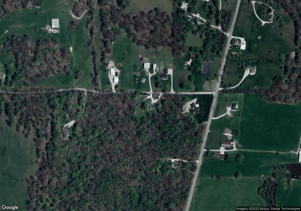
Map
Nearby Homes
- 1201 Indiana 157
- 960 N Blue Barn Rd
- NE of 5508 N 200 W Rd
- 5746 N La Salle Estates Dr
- 551 N Washington St
- Rd
- 5746 N La Salle Estates Ln
- 600 Forest Dr
- 1997 N Cold Springs Rd
- 466 David Dr
- 332 N Cavins St
- 209 River Dr
- 207 River Dr
- 2082 Indiana 54
- 422 W Turner St
- Lot 4 E Cedar Ridge Ln
- 0 Cleveland St
- 0 S Commercial St
- 318, 332 W Spring St
- 430 W Spring St
- 1282 E Abrams Rd
- 3873 N State Road 157
- 1279 E Abrams Rd
- 3972 N State Road 157
- 1076 E Abrams Rd
- 4127 N Northwood Ln
- 4052 N State Road 157
- 4102 N State Road 157
- 4183 N Northwood Ln
- Northwood Lane N Northwood Ln
- 4186 N Northwood Ln
- 4187 N Northwood Ln
- 4186 Highway 157
- 4215 N Northwood Ln
- 4190 Highway 157
- 3690 N State Road 157
- 3611 N State Road 157
- 3553 N State Road 157
- 4291 N State Road 157
- 776 E Abrams Rd
Your Personal Tour Guide
Ask me questions while you tour the home.