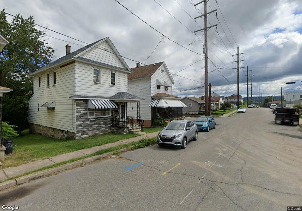
1206 Foster St Unit Ste Street Scranton, PA 18508
Tripp's Park NeighborhoodEstimated Value: $96,000 - $181,000
2
Beds
2
Baths
--
Sq Ft
2,701
Sq Ft Lot
About This Home
This home is located at 1206 Foster St Unit Ste Street, Scranton, PA 18508 and is currently estimated at $146,511. 1206 Foster St Unit Ste Street is a home located in Lackawanna County with nearby schools including Pinchbeck Elementary School, Isaac Tripp Elementary School, and Columbia Heights Elementary School.
Ownership History
Date
Name
Owned For
Owner Type
Purchase Details
Closed on
Sep 4, 2020
Sold by
Trently Edward F
Bought by
Nieto Uriel and Castillo Anabell
Current Estimated Value
Purchase Details
Closed on
Mar 18, 2005
Sold by
Trently Edward F and Trently Madeline C
Bought by
Trently Edward F
Create a Home Valuation Report for This Property
The Home Valuation Report is an in-depth analysis detailing your home's value as well as a comparison with similar homes in the area
Home Values in the Area
Average Home Value in this Area
Purchase History
| Date | Buyer | Sale Price | Title Company |
|---|---|---|---|
| Nieto Uriel | $55,000 | None Available | |
| Trently Edward F | -- | None Available |
Source: Public Records
Tax History Compared to Growth
Tax History
| Year | Tax Paid | Tax Assessment Tax Assessment Total Assessment is a certain percentage of the fair market value that is determined by local assessors to be the total taxable value of land and additions on the property. | Land | Improvement |
|---|---|---|---|---|
| 2025 | $3,111 | $10,000 | $1,050 | $8,950 |
| 2024 | $2,836 | $10,000 | $1,050 | $8,950 |
| 2023 | $2,836 | $10,000 | $1,050 | $8,950 |
| 2022 | $2,773 | $10,000 | $1,050 | $8,950 |
| 2021 | $2,773 | $10,000 | $1,050 | $8,950 |
| 2020 | $2,719 | $10,000 | $1,050 | $8,950 |
| 2019 | $2,556 | $10,000 | $1,050 | $8,950 |
| 2018 | $2,556 | $10,000 | $1,050 | $8,950 |
| 2017 | $2,509 | $10,000 | $1,050 | $8,950 |
| 2016 | $697 | $10,000 | $1,050 | $8,950 |
| 2015 | $1,535 | $10,000 | $1,050 | $8,950 |
| 2014 | -- | $10,000 | $1,050 | $8,950 |
Source: Public Records
Map
Nearby Homes
- 1057 Euclid Ave
- 991 N Sumner Ave Unit 1/2 L 13
- 1008 Mount Vernon Ave
- 1425 Bulwer St
- 1235 N Sumner Ave
- 1431 Dorothy St
- 1227 Providence Rd
- 1126 W Gibson St
- 0 Philo St Unit GSBSC4763
- 656 Philo St
- 116 Little Spike Way Unit L 40
- 942 Providence Rd
- 1311 Short Ave
- 938 Providence Rd
- 1206 Blair Ave Unit Rear
- 833 Powderly Ct
- 1501 Farr St
- 1727 Dorothy St
- 375 Grove St
- 1402 N Rebecca Ave
- 1206 Foster St
- 1208 Foster St
- 1210 Foster St
- 1119 Eureka Ave
- 1124 Foster St
- 1121 Eureka Ave
- 1212 Foster St
- 1118 Eureka Ave
- 1127 Foster St
- 1120 Foster St
- 1129 Foster St
- 1220 Foster St
- 1016 N Sumner Ave
- 1121 Foster St
- 1120 Eureka Ave
- 1117 Foster St Unit 1119
- 1201 Foster St
- 1117-1119 Foster St
- 1022 N Sumner Ave
- 1031 N - 1033 Main Ave