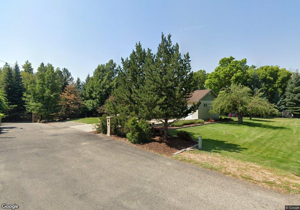
1206 Island Dr Logan, UT 84321
Wilson NeighborhoodEstimated Value: $1,047,000 - $1,291,863
--
Bed
--
Bath
5,471
Sq Ft
$213/Sq Ft
Est. Value
About This Home
This home is located at 1206 Island Dr, Logan, UT 84321 and is currently estimated at $1,167,716, approximately $213 per square foot. 1206 Island Dr is a home with nearby schools including Wilson School, Mount Logan Middle School, and Logan High School.
Ownership History
Date
Name
Owned For
Owner Type
Purchase Details
Closed on
Sep 5, 2017
Sold by
Larson Craig H and Larson Marie F
Bought by
Painted Rooster Llc
Current Estimated Value
Purchase Details
Closed on
Feb 2, 2012
Sold by
Larson Craig H and Larson Marie F
Bought by
Larson Craig H and Larson Marie F
Home Financials for this Owner
Home Financials are based on the most recent Mortgage that was taken out on this home.
Original Mortgage
$395,000
Interest Rate
3.85%
Mortgage Type
New Conventional
Purchase Details
Closed on
Nov 19, 2009
Sold by
Larson Craig H
Bought by
Larson Craig H and Larson Marie F
Purchase Details
Closed on
Feb 8, 2007
Sold by
Laub Family Associates Ltd
Bought by
Larson Craig H and Larson Marie F
Create a Home Valuation Report for This Property
The Home Valuation Report is an in-depth analysis detailing your home's value as well as a comparison with similar homes in the area
Home Values in the Area
Average Home Value in this Area
Purchase History
| Date | Buyer | Sale Price | Title Company |
|---|---|---|---|
| Painted Rooster Llc | -- | Hickman Land Title Company | |
| Larson Craig H | -- | Northern Title Company | |
| Larson Craig H | -- | Northern Title Company | |
| Larson Craig H | -- | Northern Title Company |
Source: Public Records
Mortgage History
| Date | Status | Borrower | Loan Amount |
|---|---|---|---|
| Previous Owner | Larson Craig H | $395,000 |
Source: Public Records
Tax History Compared to Growth
Tax History
| Year | Tax Paid | Tax Assessment Tax Assessment Total Assessment is a certain percentage of the fair market value that is determined by local assessors to be the total taxable value of land and additions on the property. | Land | Improvement |
|---|---|---|---|---|
| 2025 | $517 | $668,585 | $0 | $0 |
| 2024 | $5,337 | $668,585 | $0 | $0 |
| 2023 | $5,577 | $665,860 | $0 | $0 |
| 2022 | $597 | $665,860 | $0 | $0 |
| 2021 | $4,878 | $835,835 | $95,400 | $740,435 |
| 2020 | $4,797 | $739,257 | $95,400 | $643,857 |
| 2019 | $5,014 | $739,256 | $95,400 | $643,856 |
| 2018 | $4,982 | $670,272 | $95,400 | $574,872 |
| 2017 | $5,096 | $364,880 | $0 | $0 |
| 2016 | $5,283 | $359,215 | $0 | $0 |
| 2015 | $5,207 | $359,215 | $0 | $0 |
| 2014 | $4,707 | $359,215 | $0 | $0 |
| 2013 | -- | $359,215 | $0 | $0 |
Source: Public Records
Map
Nearby Homes
- 1045 Fox Farm Rd
- 1387 E 260 N
- 1374 E 260 N
- 1034 Thrushwood Dr
- 240 N 1480 E
- 820 Hillcrest Ave
- 10 S 1300 E
- 128 S 1170 E
- 684 Apple Dr
- 661 E 600 N
- 28 River Pointe Dr
- 1393 Davis Ave
- 631 E 600 N
- 642 E 700 N
- 1279 Eastridge Dr
- 1605 Mountain Rd
- 147 Winding Way Unit 50
- 159 Winding Way Unit 49
- 871 N 700 E
- 567 E 200 N
- 1200 Island Dr
- 1141 Fox Farm Rd
- 1197 Sumac Dr
- 1205 Sumac Dr
- 1137 Fox Farm Rd
- 1150 Fox Farm Rd
- 1180 Canyon Rd
- 1210 Island Dr
- 1191 Sumac Dr
- 1211 Sumac Dr
- 1125 Fox Farm Rd
- 1154 Canyon Rd
- 1160 Fox Farm Rd
- 1241 Sumac Dr
- 1189 Sumac Dr
- 1130 Fox Farm Rd
- 1228 Island Dr
- 1221 Sumac Dr
- 1220 Canyon Rd
- 1221 Island Dr