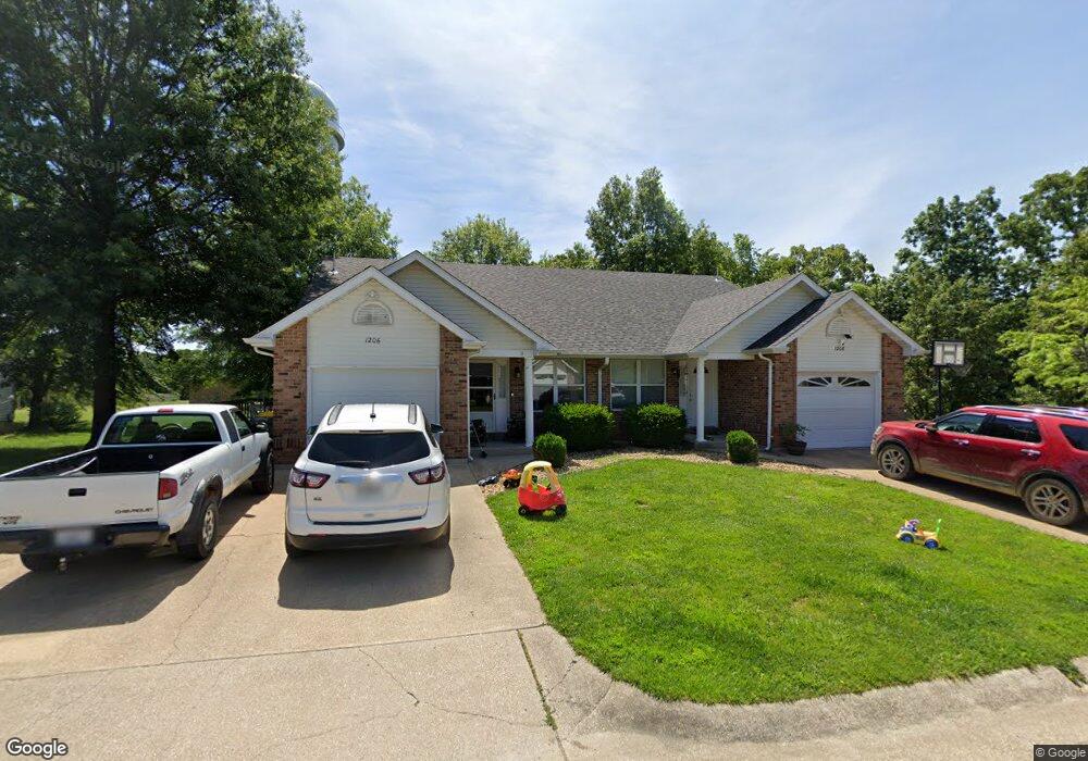
1206 Karen Rae Unit 1208 Saint Clair, MO 63077
Estimated Value: $264,000 - $359,000
4
Beds
1
Bath
2,232
Sq Ft
$138/Sq Ft
Est. Value
About This Home
This home is located at 1206 Karen Rae Unit 1208, Saint Clair, MO 63077 and is currently estimated at $306,925, approximately $137 per square foot. 1206 Karen Rae Unit 1208 is a home located in Franklin County with nearby schools including St. Clair Elementary School, Edgar Murray Elementary School, and St. Clair Junior High School.
Ownership History
Date
Name
Owned For
Owner Type
Purchase Details
Closed on
Aug 1, 2022
Sold by
1200-04-Karen Rae Llc
Bought by
Dierker Properties Llc
Current Estimated Value
Home Financials for this Owner
Home Financials are based on the most recent Mortgage that was taken out on this home.
Original Mortgage
$900,000
Outstanding Balance
$862,455
Interest Rate
5.81%
Mortgage Type
New Conventional
Estimated Equity
-$555,530
Purchase Details
Closed on
Nov 30, 2007
Sold by
Blum Ronald R and Blum Karen R
Bought by
1206-08 Karen Rae Llc
Create a Home Valuation Report for This Property
The Home Valuation Report is an in-depth analysis detailing your home's value as well as a comparison with similar homes in the area
Home Values in the Area
Average Home Value in this Area
Purchase History
| Date | Buyer | Sale Price | Title Company |
|---|---|---|---|
| Dierker Properties Llc | -- | None Listed On Document | |
| 1206-08 Karen Rae Llc | -- | None Available |
Source: Public Records
Mortgage History
| Date | Status | Borrower | Loan Amount |
|---|---|---|---|
| Open | Dierker Properties Llc | $900,000 |
Source: Public Records
Tax History Compared to Growth
Tax History
| Year | Tax Paid | Tax Assessment Tax Assessment Total Assessment is a certain percentage of the fair market value that is determined by local assessors to be the total taxable value of land and additions on the property. | Land | Improvement |
|---|---|---|---|---|
| 2024 | $1,993 | $32,479 | $0 | $0 |
| 2023 | $1,993 | $32,479 | $0 | $0 |
| 2022 | $2,152 | $34,911 | $0 | $0 |
| 2021 | $2,149 | $34,911 | $0 | $0 |
| 2020 | $1,991 | $31,023 | $0 | $0 |
| 2019 | $1,974 | $31,023 | $0 | $0 |
| 2018 | $1,934 | $30,026 | $0 | $0 |
| 2017 | $1,934 | $30,083 | $0 | $0 |
| 2016 | $1,772 | $27,523 | $0 | $0 |
| 2015 | $1,643 | $27,523 | $0 | $0 |
| 2014 | $1,675 | $28,080 | $0 | $0 |
Source: Public Records
Map
Nearby Homes
- 1000 S Lay Ave
- 202 Steamboat Springs Rd
- 0 Kingsley Dr
- 355 E Springfield Rd
- 960 Walton St
- Lot 35,36,37 Countryaire Dr
- 509 Lake Shore Dr
- 208 Mosley Ave
- 365 Young St
- 5 Lots Mosley Ave
- 1305 Fox Run Ln
- 735 Virginia Mines Rd
- 0 Oakwood Dr
- 290 E Oak St
- 1420 Sandpiper Dr
- 2+/- acres Ferdinand St
- 1046 Gravois Rd
- 1502 Redwood Dr
- 0000 Commercial Ave
- 147 T Box Dr
- 234 Crescent Lake Rd
- 224 Crescent Lake Rd
- 218 Crescent Lake Rd
- 1201 Karen Rae Unit 1203
- 1209 Karen Rae Unit 1210
- 1205 Karen Rae Unit 1207
- 287 Crescent Lake Rd
- 212 Crescent Lake Rd
- 289 Crescent Lake Rd
- 210 Crescent Lake Rd
- 0 Lot 2b Runway Dr Unit 80015415
- 2 Lot 2 Runway Dr
- 200 Crescent Lake Rd
- 284 Crescent Lake Rd
- 192 Crescent Lake Rd
- 192 Crescent Lake Rd
- 285 Crescent Lake Rd
- 1 Harbor Dr
- 10 Harbor Dr
- 286 Crescent Lake Rd