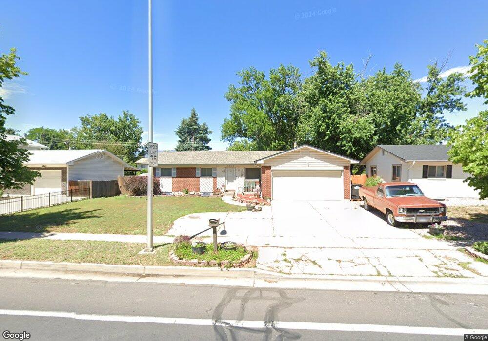
1206 N Murray Blvd Colorado Springs, CO 80915
Austin Estates NeighborhoodEstimated Value: $366,893 - $406,000
4
Beds
2
Baths
1,160
Sq Ft
$336/Sq Ft
Est. Value
About This Home
This home is located at 1206 N Murray Blvd, Colorado Springs, CO 80915 and is currently estimated at $389,973, approximately $336 per square foot. 1206 N Murray Blvd is a home located in El Paso County with nearby schools including Wilson Elementary School, Sabin Middle School, and Mitchell High School.
Ownership History
Date
Name
Owned For
Owner Type
Purchase Details
Closed on
Sep 16, 2011
Sold by
Durbin Leonard Clark and Durbin Wanda F
Bought by
Alls Michael D and Alls Kari J
Current Estimated Value
Home Financials for this Owner
Home Financials are based on the most recent Mortgage that was taken out on this home.
Original Mortgage
$164,972
Outstanding Balance
$113,403
Interest Rate
4.34%
Mortgage Type
VA
Estimated Equity
$276,570
Create a Home Valuation Report for This Property
The Home Valuation Report is an in-depth analysis detailing your home's value as well as a comparison with similar homes in the area
Home Values in the Area
Average Home Value in this Area
Purchase History
| Date | Buyer | Sale Price | Title Company |
|---|---|---|---|
| Alls Michael D | $161,500 | Heritage Title |
Source: Public Records
Mortgage History
| Date | Status | Borrower | Loan Amount |
|---|---|---|---|
| Open | Alls Michael D | $164,972 |
Source: Public Records
Tax History Compared to Growth
Tax History
| Year | Tax Paid | Tax Assessment Tax Assessment Total Assessment is a certain percentage of the fair market value that is determined by local assessors to be the total taxable value of land and additions on the property. | Land | Improvement |
|---|---|---|---|---|
| 2025 | $1,386 | $27,900 | -- | -- |
| 2024 | $1,272 | $29,350 | $4,150 | $25,200 |
| 2023 | $1,272 | $29,350 | $4,150 | $25,200 |
| 2022 | $1,050 | $18,770 | $3,340 | $15,430 |
| 2021 | $1,139 | $19,300 | $3,430 | $15,870 |
| 2020 | $1,101 | $16,220 | $3,000 | $13,220 |
| 2019 | $1,095 | $16,220 | $3,000 | $13,220 |
| 2018 | $960 | $13,080 | $2,380 | $10,700 |
| 2017 | $909 | $13,080 | $2,380 | $10,700 |
| 2016 | $718 | $12,390 | $2,310 | $10,080 |
| 2015 | $716 | $12,390 | $2,310 | $10,080 |
| 2014 | $703 | $11,690 | $2,310 | $9,380 |
Source: Public Records
Map
Nearby Homes
- 1202 Fosdick Dr
- 1222 de Reamer Cir
- 1125 Moffat Cir
- 1426 de Reamer Cir
- 4119 Palmer Park Blvd
- 1414 Martin Dr
- 1239 Martin Dr
- 1505 Mckay Way
- 713 Lansing Dr
- 1512 Keaton Ln
- 4108 Fitzpatrick Dr
- 1658 Keaton Ln
- 4012 Maxwell Place
- 4020 Maxwell Rd
- 1103 Turley Cir
- 4102 Maxwell Rd
- 4706 Woodbury Dr
- 1216 Osgood Rd
- 1770 Sawyer Way
- 1625 N Murray Blvd Unit 230
- 1202 N Murray Blvd
- 1210 N Murray Blvd
- 1207 Fosdick Dr
- 1211 Fosdick Dr
- 1203 Fosdick Dr
- 1122 N Murray Blvd
- 1214 N Murray Blvd
- 1215 Fosdick Dr
- 1207 N Murray Blvd
- 1203 N Murray Blvd
- 1118 N Murray Blvd
- 1123 N Murray Blvd
- 1218 N Murray Blvd
- 1119 Fosdick Dr
- 4315 E San Miguel St
- 4223 E San Miguel St
- 1215 N Murray Blvd
- 1119 N Murray Blvd
- 1206 Fosdick Dr
- 1114 N Murray Blvd