1206 N Nichols Ferry Trail South Boston, VA 24592
Estimated Value: $95,000 - $443,635
--
Bed
--
Bath
--
Sq Ft
13.28
Acres
About This Home
This home is located at 1206 N Nichols Ferry Trail, South Boston, VA 24592 and is currently estimated at $266,409. 1206 N Nichols Ferry Trail is a home located in Halifax County with nearby schools including South Boston Elementary School, Halifax County Middle School, and Halifax County High School.
Ownership History
Date
Name
Owned For
Owner Type
Purchase Details
Closed on
Feb 7, 2025
Sold by
Palmer John R and Palmer Veronica R
Bought by
Schafer Isak L and Schafer Sabrina Amos
Current Estimated Value
Purchase Details
Closed on
Apr 15, 2019
Sold by
Palmer John E
Bought by
Palmer John R and Palmer Veronica R
Purchase Details
Closed on
Aug 30, 2007
Sold by
Revak Jane and New Roberta
Bought by
Tristate Lands Llc
Home Financials for this Owner
Home Financials are based on the most recent Mortgage that was taken out on this home.
Original Mortgage
$207,900
Interest Rate
6.71%
Mortgage Type
Land Contract Argmt. Of Sale
Create a Home Valuation Report for This Property
The Home Valuation Report is an in-depth analysis detailing your home's value as well as a comparison with similar homes in the area
Home Values in the Area
Average Home Value in this Area
Purchase History
| Date | Buyer | Sale Price | Title Company |
|---|---|---|---|
| Schafer Isak L | -- | None Listed On Document | |
| Palmer John R | -- | None Available | |
| Tristate Lands Llc | $244,697 | -- |
Source: Public Records
Mortgage History
| Date | Status | Borrower | Loan Amount |
|---|---|---|---|
| Previous Owner | Tristate Lands Llc | $207,900 |
Source: Public Records
Tax History Compared to Growth
Tax History
| Year | Tax Paid | Tax Assessment Tax Assessment Total Assessment is a certain percentage of the fair market value that is determined by local assessors to be the total taxable value of land and additions on the property. | Land | Improvement |
|---|---|---|---|---|
| 2025 | $245 | $49,089 | $48,989 | $100 |
| 2024 | $245 | $49,089 | $48,989 | $100 |
| 2023 | $245 | $49,089 | $48,989 | $100 |
| 2022 | $246 | $49,289 | $48,989 | $300 |
| 2021 | $245 | $49,089 | $48,989 | $100 |
| 2020 | $245 | $49,089 | $48,989 | $100 |
| 2019 | $247 | $49,405 | $49,305 | $100 |
| 2018 | $237 | $49,405 | $49,305 | $100 |
| 2016 | $237 | $49,405 | $49,305 | $100 |
| 2015 | $237 | $49,405 | $49,305 | $100 |
| 2014 | $227 | $49,405 | $49,305 | $100 |
| 2013 | $222 | $49,405 | $49,305 | $100 |
Source: Public Records
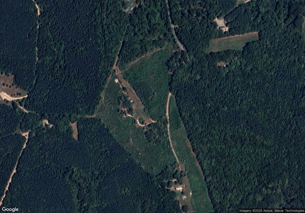
Map
Nearby Homes
- 0 Wolf Trap Rd
- 00 Good Trail
- 00 Boyds Ferry Trail
- 1194 Wolf Trap Rd
- 1039 Azalea Ln
- 00 Alphonse Dairy Rd
- 9043 Bill Tuck Hwy
- 1058 James D Hagood Hwy
- 0 S Terry's Bridge Rd
- 9120 Bill Tuck Hwy
- 4507 Brentwood Dr
- 1031 Macdonald Rd
- 509 Bellwood Ln
- 302 Dunncroft Ct
- 1002 John Randolph Blvd
- 2180 Macdonald Rd
- 618 Cedar Ave
- 8 LOTS Vaughan St
- 1-16 Vaughan St
- 2100 Rivoli St
- 1210 N Nichols Ferry Trail
- 1171 N Nichols Ferry Trail
- 1214 N Nichols Ferry Trail
- 1160 N Nichols Ferry Trail
- 1134 N Nichols Ferry Trail
- 1170 N Nichols Ferry Trail
- 1130 N Nichols Ferry Trail
- 0 N Nichols Ferry Rd
- 1046 N Nichols Ferry Trail
- 1056 Conner Trail
- 1055 Conner Trail
- 1061 Walker Trail
- 1018 N Nichols Ferry Trail
- 3110 Wolf Trap Rd
- 3121 Wolf Trap Rd
- 3111 Wolf Trap Rd
- 1063 Walker Trail