1206 N Rolling Rd Catonsville, MD 21228
Estimated Value: $100,563 - $158,000
--
Bed
1
Bath
3,376
Sq Ft
$36/Sq Ft
Est. Value
About This Home
This home is located at 1206 N Rolling Rd, Catonsville, MD 21228 and is currently estimated at $122,521, approximately $36 per square foot. 1206 N Rolling Rd is a home located in Baltimore County with nearby schools including Woodbridge Elementary School, Southwest Academy, and Woodlawn High School.
Ownership History
Date
Name
Owned For
Owner Type
Purchase Details
Closed on
Oct 15, 2003
Sold by
Aijaz Mahammed M
Bought by
Aijaz Mohammed M and Aijaz Muneera S
Current Estimated Value
Purchase Details
Closed on
Feb 5, 2001
Sold by
Syed Qutub U
Bought by
Aijaz Mahammed M and Aijaz Muneera S
Purchase Details
Closed on
May 17, 1999
Sold by
Aijaz Mohammed M
Bought by
Syed Qutub U and Syed Tahniath
Purchase Details
Closed on
Oct 29, 1997
Sold by
Century Builders Inc
Bought by
Aijaz Mohammed M
Create a Home Valuation Report for This Property
The Home Valuation Report is an in-depth analysis detailing your home's value as well as a comparison with similar homes in the area
Home Values in the Area
Average Home Value in this Area
Purchase History
| Date | Buyer | Sale Price | Title Company |
|---|---|---|---|
| Aijaz Mohammed M | -- | -- | |
| Aijaz Mahammed M | $35,000 | -- | |
| Syed Qutub U | $35,000 | -- | |
| Aijaz Mohammed M | $67,500 | -- |
Source: Public Records
Tax History Compared to Growth
Tax History
| Year | Tax Paid | Tax Assessment Tax Assessment Total Assessment is a certain percentage of the fair market value that is determined by local assessors to be the total taxable value of land and additions on the property. | Land | Improvement |
|---|---|---|---|---|
| 2025 | $1,295 | $66,100 | $66,100 | -- |
| 2024 | $1,295 | $64,400 | $64,400 | $0 |
| 2023 | $1,283 | $64,400 | $64,400 | $0 |
| 2022 | $725 | $64,400 | $64,400 | $0 |
| 2021 | $620 | $64,400 | $64,400 | $0 |
| 2020 | $760 | $62,667 | $0 | $0 |
| 2019 | $739 | $60,933 | $0 | $0 |
| 2018 | $1,413 | $59,200 | $59,200 | $0 |
| 2017 | $1,222 | $59,200 | $0 | $0 |
| 2016 | $1,187 | $59,200 | $0 | $0 |
| 2015 | $1,187 | $59,200 | $0 | $0 |
| 2014 | $1,187 | $59,200 | $0 | $0 |
Source: Public Records
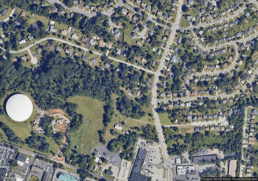
Map
Nearby Homes
- 6263 Gilston Park Rd
- 1111 Cummings Ave
- 6200 Gilston Park Rd
- 1019 Cummings Ave
- 1013 Cummings Ave
- 6031 Burnt Oak Rd
- 3 Mcgrady Square
- 2100 Chantilla Rd
- 67 Walden Mill Way
- 353 N Beaumont Ave
- 343 N Beaumont Ave
- 1916 Old Frederick Rd
- 5926 Old Frederick Rd
- 2120 Cedar Circle Dr
- 6028 Moorehead Rd
- 800 Crosby Rd
- 627 Meyers Dr Unit PARCEL 108
- 627 Meyers Dr
- 206 Winters Ln
- 2002 Old Frederick Rd
- 1206 N Rolling Rd Unit A
- 1206A N Rolling Rd
- 1208 N Rolling Rd
- 1903 Cedar Circle Dr
- 1901 Cedar Circle Dr
- 1905 Cedar Circle Dr
- 1210 N Rolling Rd
- 1907 Cedar Circle Dr
- 1902 Cedar Circle Dr
- 1900 Cedar Circle Dr
- 6266 Gilston Park Rd
- 1904 Cedar Circle Dr
- 1214 N Rolling Rd
- 1219 N Rolling Rd
- 6267 Gilston Park Rd
- 1906 Cedar Circle Dr
- 1200 N Rolling Rd
- 6264 Gilston Park Rd
- 2001 Cedar Circle Dr
- 1221 N Rolling Rd