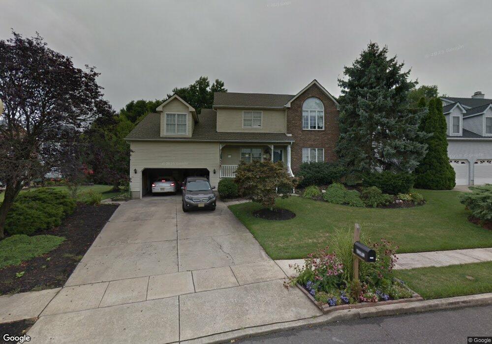
1206 Parkland Commons West Deptford, NJ 08086
West Deptford Township NeighborhoodEstimated Value: $543,610 - $634,000
--
Bed
--
Bath
2,660
Sq Ft
$222/Sq Ft
Est. Value
About This Home
This home is located at 1206 Parkland Commons, West Deptford, NJ 08086 and is currently estimated at $591,653, approximately $222 per square foot. 1206 Parkland Commons is a home located in Gloucester County with nearby schools including Green-Fields Elementary School, Oakview Elementary School, and Red Bank Elementary School.
Ownership History
Date
Name
Owned For
Owner Type
Purchase Details
Closed on
Aug 16, 1990
Bought by
Taylor Charles K and Taylor Christine
Current Estimated Value
Create a Home Valuation Report for This Property
The Home Valuation Report is an in-depth analysis detailing your home's value as well as a comparison with similar homes in the area
Home Values in the Area
Average Home Value in this Area
Purchase History
| Date | Buyer | Sale Price | Title Company |
|---|---|---|---|
| Taylor Charles K | $205,000 | -- |
Source: Public Records
Tax History Compared to Growth
Tax History
| Year | Tax Paid | Tax Assessment Tax Assessment Total Assessment is a certain percentage of the fair market value that is determined by local assessors to be the total taxable value of land and additions on the property. | Land | Improvement |
|---|---|---|---|---|
| 2025 | $11,300 | $323,600 | $69,200 | $254,400 |
| 2024 | $11,154 | $323,600 | $69,200 | $254,400 |
| 2023 | $11,154 | $323,600 | $69,200 | $254,400 |
| 2022 | $11,103 | $323,600 | $69,200 | $254,400 |
| 2021 | $11,064 | $323,600 | $69,200 | $254,400 |
| 2020 | $11,038 | $323,600 | $69,200 | $254,400 |
| 2019 | $10,731 | $323,600 | $69,200 | $254,400 |
| 2018 | $10,439 | $323,600 | $69,200 | $254,400 |
| 2017 | $10,197 | $323,600 | $69,200 | $254,400 |
| 2016 | $9,912 | $323,600 | $69,200 | $254,400 |
| 2015 | $9,606 | $329,200 | $69,200 | $260,000 |
| 2014 | $9,129 | $329,200 | $69,200 | $260,000 |
Source: Public Records
Map
Nearby Homes
- 1220 Royal Ln
- 87 Woodway Dr Unit 87
- 1102 Barnesdale Rd
- 16 Maplewood Ct
- 863 Doncaster Dr
- 12 Highbridge Ln Unit I2
- 125 Lionheart Ln Unit C125
- 4 Saint Emilion Ct
- 1311 Barnesdale Rd
- 1012 Moore Rd Unit 6
- 640 Worcester Dr
- 1066 Buckingham Dr
- 51 Holly Dr
- 1091 Buckingham Dr Unit 45
- 740 Carter Hill Dr
- 10 Meadow Ln
- 1810 Fernwood Dr
- 558 Prince St
- 0 Greenwood & Shivers Ave
- 608 Salem Ave
- 1204 Parkland Commons
- 1208 Parkland Commons
- 1205 Parkland Commons
- 1210 Parkland Commons
- 1208 Royal Ln
- 1201 Parkland Commons
- 1201 Parkland Commons
- 1212 Parkland Commons
- 1214 Royal Ln
- 1214 Parkland Commons
- 800 Jessup Rd
- 1209 Royal Ln
- 1207 Royal Ln
- 1211 Royal Ln
- 1205 Royal Ln
- 1216 Parkland Commons
- 1216 Parkland Commons
- 1216 Royal Ln
- 1213 Royal Ln
- 896 Marian Rd