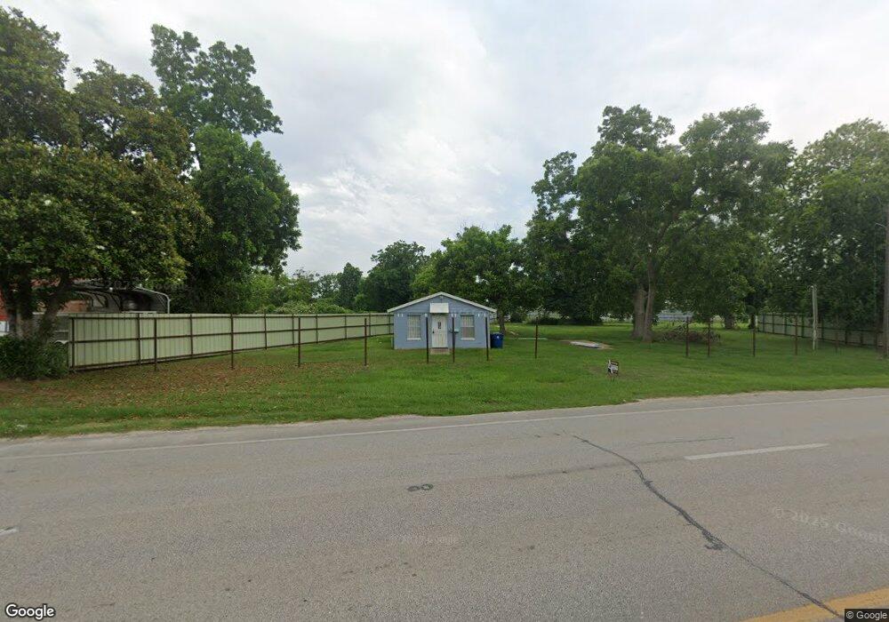
1206 S Brooks St Brazoria, TX 77422
Estimated Value: $229,000 - $279,000
--
Bed
--
Bath
870
Sq Ft
$289/Sq Ft
Est. Value
About This Home
This home is located at 1206 S Brooks St, Brazoria, TX 77422 and is currently estimated at $251,697, approximately $289 per square foot. 1206 S Brooks St is a home located in Brazoria County.
Ownership History
Date
Name
Owned For
Owner Type
Purchase Details
Closed on
Apr 10, 2019
Sold by
Berger Elena G
Bought by
Berger Josaph A and Berger Joseph A
Current Estimated Value
Purchase Details
Closed on
Nov 19, 2005
Sold by
Roye Joel
Bought by
Katragadda Kotaiah and Katragadda Mani Mala
Home Financials for this Owner
Home Financials are based on the most recent Mortgage that was taken out on this home.
Original Mortgage
$35,000
Interest Rate
7.25%
Mortgage Type
Commercial
Purchase Details
Closed on
Nov 3, 2005
Sold by
Bickham Maria Caffall
Bought by
Roye Joel
Home Financials for this Owner
Home Financials are based on the most recent Mortgage that was taken out on this home.
Original Mortgage
$35,000
Interest Rate
7.25%
Mortgage Type
Commercial
Create a Home Valuation Report for This Property
The Home Valuation Report is an in-depth analysis detailing your home's value as well as a comparison with similar homes in the area
Home Values in the Area
Average Home Value in this Area
Purchase History
| Date | Buyer | Sale Price | Title Company |
|---|---|---|---|
| Berger Josaph A | -- | None Available | |
| Katragadda Kotaiah | -- | Alamo Title 01 | |
| Roye Joel | -- | Alamo Title Company |
Source: Public Records
Mortgage History
| Date | Status | Borrower | Loan Amount |
|---|---|---|---|
| Closed | Roye Joel | $35,000 |
Source: Public Records
Tax History Compared to Growth
Tax History
| Year | Tax Paid | Tax Assessment Tax Assessment Total Assessment is a certain percentage of the fair market value that is determined by local assessors to be the total taxable value of land and additions on the property. | Land | Improvement |
|---|---|---|---|---|
| 2025 | $5,793 | $227,200 | $145,890 | $81,310 |
| 2023 | $5,793 | $277,900 | $191,880 | $86,020 |
| 2022 | $4,353 | $192,720 | $139,500 | $53,220 |
| 2021 | $3,364 | $142,740 | $95,760 | $46,980 |
| 2020 | $3,304 | $133,570 | $88,390 | $45,180 |
| 2019 | $2,256 | $88,370 | $44,210 | $44,160 |
| 2018 | $2,535 | $98,750 | $53,050 | $45,700 |
| 2017 | $2,182 | $82,210 | $52,810 | $29,400 |
| 2016 | $1,941 | $73,110 | $44,010 | $29,100 |
| 2014 | $2,006 | $74,730 | $44,010 | $30,720 |
Source: Public Records
Map
Nearby Homes
- 229 Yaupon Dr
- 523 Lazy Ln
- 0 Pecan Dr
- 232 Magnolia St
- 307 Avenue G
- 1208 S Brooks St
- 34654 Fm 521 Rd
- 8922 Fm 521 Rd
- 409 Carlton St
- 230 E New York St
- 706 E New York St
- 549 E New York St
- 4773 County Road 652
- 310 E Texas St
- 0 Cr-747a
- TBD Cr-318
- 320 Cr-320
- 0 Cr-318 Unit 18304666
- TBD Cr-318 Tract 7c
- 1625 Cr 244 E
- 1202 Brooks St
- 1210 S Highway 36
- 1111 S Brooks St Unit 36
- 236 Mulberry Ln
- 1109 S Brooks St
- 1105 S Brooks St
- 1125 Fm 521 Rd
- 1117 S Market St
- 235 Mulberry Ln
- 1110 S Brooks St Unit 36
- 112 Avenue B
- 310 Mulberry Ln
- 0 Avenue B
- 1106 S Brooks St
- 311 Mulberry Ln
- 1120 Fm 521 Rd
- 206 Avenue B
- 109 Avenue C
- 208 Lazy Ln
- 322 Mulberry Ln