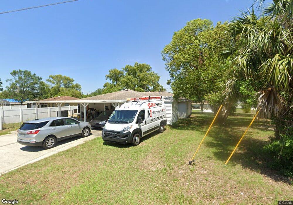
1206 Saint Andrews Blvd Eustis, FL 32726
Estimated Value: $248,342 - $314,000
3
Beds
1
Bath
1,766
Sq Ft
$164/Sq Ft
Est. Value
About This Home
This home is located at 1206 Saint Andrews Blvd, Eustis, FL 32726 and is currently estimated at $289,336, approximately $163 per square foot. 1206 Saint Andrews Blvd is a home located in Lake County with nearby schools including Eustis Heights Elementary School, Eustis Middle School, and Eustis High School.
Ownership History
Date
Name
Owned For
Owner Type
Purchase Details
Closed on
Nov 18, 2002
Sold by
Dickson Charles and Dickson Kim B
Bought by
Prevatt Matthew R and Prevatt Alexis M
Current Estimated Value
Home Financials for this Owner
Home Financials are based on the most recent Mortgage that was taken out on this home.
Original Mortgage
$71,200
Outstanding Balance
$29,112
Interest Rate
5.95%
Estimated Equity
$260,224
Purchase Details
Closed on
May 1, 1998
Sold by
Dickson Kim B and Hunter Kim B
Bought by
Dickson Kim B and Dickson Charles
Home Financials for this Owner
Home Financials are based on the most recent Mortgage that was taken out on this home.
Original Mortgage
$62,577
Interest Rate
7.03%
Mortgage Type
FHA
Purchase Details
Closed on
Oct 5, 1993
Sold by
Bankers Tr Co Ca N A
Bought by
Hunter Kim B
Home Financials for this Owner
Home Financials are based on the most recent Mortgage that was taken out on this home.
Original Mortgage
$42,700
Interest Rate
6.99%
Create a Home Valuation Report for This Property
The Home Valuation Report is an in-depth analysis detailing your home's value as well as a comparison with similar homes in the area
Home Values in the Area
Average Home Value in this Area
Purchase History
| Date | Buyer | Sale Price | Title Company |
|---|---|---|---|
| Prevatt Matthew R | $89,000 | -- | |
| Dickson Kim B | $21,000 | -- | |
| Hunter Kim B | $47,500 | -- |
Source: Public Records
Mortgage History
| Date | Status | Borrower | Loan Amount |
|---|---|---|---|
| Open | Prevatt Matthew R | $71,200 | |
| Previous Owner | Dickson Kim B | $62,577 | |
| Previous Owner | Hunter Kim B | $42,700 |
Source: Public Records
Tax History
| Year | Tax Paid | Tax Assessment Tax Assessment Total Assessment is a certain percentage of the fair market value that is determined by local assessors to be the total taxable value of land and additions on the property. | Land | Improvement |
|---|---|---|---|---|
| 2026 | $1,290 | $112,590 | -- | -- |
| 2025 | $1,220 | $109,530 | -- | -- |
| 2024 | $1,220 | $109,530 | -- | -- |
| 2023 | $1,220 | $103,250 | $0 | $0 |
| 2022 | $1,183 | $100,250 | $0 | $0 |
| 2021 | $1,127 | $97,333 | $0 | $0 |
| 2020 | $1,149 | $95,990 | $0 | $0 |
| 2019 | $1,121 | $93,832 | $0 | $0 |
| 2018 | $1,058 | $92,083 | $0 | $0 |
| 2017 | $1,027 | $90,190 | $0 | $0 |
| 2016 | $1,005 | $88,335 | $0 | $0 |
| 2015 | $1,020 | $87,721 | $0 | $0 |
| 2014 | $1,011 | $87,025 | $0 | $0 |
Source: Public Records
Map
Nearby Homes
- 1300 Saint Andrews Blvd
- 436 E Atwater Ave
- 1122 Virginia Ct
- 0 S Mary St
- 301 E Atwater Ave
- 822 Poinsettia Dr
- 615 Briarcliff Rd
- 809 Poinsettia Dr
- 322 Palm Ave
- 507 Firewood Ave
- 1004 Lantana Dr
- 203 E Lakeview Ave
- 1007 Lantana Dr
- 1033 S Grove St
- 1070 Jasmine St
- 312 Osceola Ave
- 58 Townhill Dr
- 206 Osceola Ave
- 1239 Blue Daze Ln
- 1279 Blue Daze Ln
- 1204 Saint Andrews Blvd
- 1240 S Mary St
- 590 E Mills Ave
- 1205 Saint Andrews Blvd
- 1302 Saint Andrews Blvd
- 1301 Saint Andrews Blvd
- 1203 Saint Andrews Blvd
- 602 E Lakeview Ave
- 1202 Saint Andrews Blvd
- 461 E Mills Ave
- 526 E Lakeview Ave
- 1304 Saint Andrews Blvd
- 1303 Saint Andrews Blvd
- 452 E Mills Ave
- 1201 Saint Andrews Blvd
- 455 E Mills Ave
- 1210 Monterey Dr
- 1208 Monterey Dr
- 524 E Lakeview Ave
- 1212 Monterey Dr
Your Personal Tour Guide
Ask me questions while you tour the home.