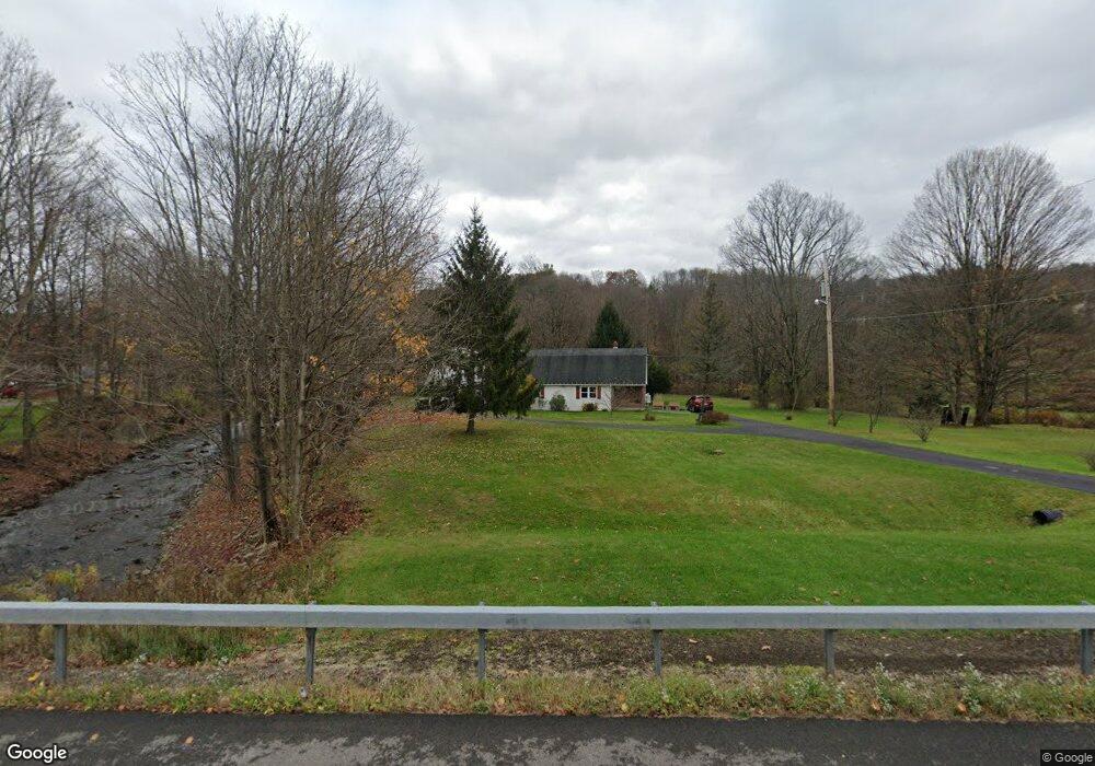
1206 State Route 369 Unit NYS Chenango Forks, NY 13746
Estimated Value: $211,000 - $327,000
3
Beds
2
Baths
2,453
Sq Ft
$109/Sq Ft
Est. Value
About This Home
This home is located at 1206 State Route 369 Unit NYS, Chenango Forks, NY 13746 and is currently estimated at $266,667, approximately $108 per square foot. 1206 State Route 369 Unit NYS is a home located in Broome County with nearby schools including Chenango Forks Elementary School, Chenango Forks Middle School, and Chenango Forks High School.
Ownership History
Date
Name
Owned For
Owner Type
Purchase Details
Closed on
Oct 25, 2024
Sold by
Boulton Leslie G
Bought by
Christian Joseph and Christian Jodi
Current Estimated Value
Home Financials for this Owner
Home Financials are based on the most recent Mortgage that was taken out on this home.
Original Mortgage
$299,900
Interest Rate
6.84%
Mortgage Type
VA
Purchase Details
Closed on
Nov 25, 2002
Sold by
Sheppard Robert L
Bought by
Shaylor Robert F
Create a Home Valuation Report for This Property
The Home Valuation Report is an in-depth analysis detailing your home's value as well as a comparison with similar homes in the area
Home Values in the Area
Average Home Value in this Area
Purchase History
| Date | Buyer | Sale Price | Title Company |
|---|---|---|---|
| Christian Joseph | $299,900 | None Listed On Document | |
| Christian Joseph | $299,900 | None Listed On Document | |
| Shaylor Robert F | $135,000 | Daniel Reynolds |
Source: Public Records
Mortgage History
| Date | Status | Borrower | Loan Amount |
|---|---|---|---|
| Previous Owner | Christian Joseph | $299,900 |
Source: Public Records
Tax History Compared to Growth
Tax History
| Year | Tax Paid | Tax Assessment Tax Assessment Total Assessment is a certain percentage of the fair market value that is determined by local assessors to be the total taxable value of land and additions on the property. | Land | Improvement |
|---|---|---|---|---|
| 2024 | $4,934 | $88,200 | $16,500 | $71,700 |
| 2023 | $4,631 | $88,200 | $16,500 | $71,700 |
| 2022 | $4,627 | $88,200 | $16,500 | $71,700 |
| 2021 | $4,646 | $88,200 | $16,500 | $71,700 |
| 2020 | $3,832 | $88,200 | $16,500 | $71,700 |
| 2019 | $0 | $88,200 | $16,500 | $71,700 |
| 2018 | $3,942 | $88,200 | $16,500 | $71,700 |
| 2017 | $3,912 | $88,200 | $16,500 | $71,700 |
| 2016 | $3,810 | $88,200 | $16,500 | $71,700 |
| 2015 | -- | $88,200 | $16,500 | $71,700 |
| 2014 | -- | $88,200 | $16,500 | $71,700 |
Source: Public Records
Map
Nearby Homes
- 1092 State Route 369
- 94 Richards Rd
- 120 Steed Rd
- 142 Marshman Rd
- 304 Monkey Run Rd
- 15 River Ln
- 101 Palmer Hill Rd
- 245 County Road 9
- 404 Ballyhack Rd
- 343 Palmer Hill Rd
- 5420 New York 79
- 6667 State Route 79
- 115 Iona Ln
- 330 Palmer Hill Rd
- 35 Woodland Dr
- 1 Asbury Ave
- 243 Jeffrey Dr
- 714 Pleasant Hill Rd
- 446 Conklin Hill Rd
- 197 Port Rd
- 1206 State Route 369
- 1214 State Route 369 Unit NYS
- 10 Beartown Rd
- 1199 State Route 369 Unit NYS
- 6 Beartown Rd
- 1190 State Route 369 Unit NYS
- 1219 State Route 369 Unit NYS
- 1185 State Route 369 Unit NYS
- 1185 State Route 369
- 8 Beartown Rd
- 1182 State Route 369
- 16 Beartown Rd
- 1 Brookside Ln
- 1177 New York 369
- 1177 State Route 369 Unit NYS
- 1177 State Route 369
- 7 Beartown Rd
- 1218 Ballyhack Rd
- 3 Brookside Ln
- 13 Beartown Rd