1206 Township Road 217 Scottown, OH 45678
Estimated Value: $179,000 - $381,000
2
Beds
1
Bath
1,536
Sq Ft
$176/Sq Ft
Est. Value
About This Home
This home is located at 1206 Township Road 217, Scottown, OH 45678 and is currently estimated at $270,870, approximately $176 per square foot. 1206 Township Road 217 is a home located in Lawrence County with nearby schools including Symmes Valley Elementary School and Symmes Valley High School.
Ownership History
Date
Name
Owned For
Owner Type
Purchase Details
Closed on
Jul 11, 2025
Sold by
Magnaterra Diane V and Magnaterra Paul P
Bought by
Stephens Ronald L and Stephens Marilyn E
Current Estimated Value
Home Financials for this Owner
Home Financials are based on the most recent Mortgage that was taken out on this home.
Original Mortgage
$285,000
Outstanding Balance
$284,517
Interest Rate
6.85%
Mortgage Type
VA
Estimated Equity
-$13,647
Purchase Details
Closed on
Oct 20, 2004
Bought by
Magnaterra Diane V. & Pa
Purchase Details
Closed on
Dec 6, 2001
Bought by
Countrytyme, Inc.
Purchase Details
Closed on
Nov 27, 2001
Sold by
Young John B
Bought by
Anthony Land Company, Ltd
Purchase Details
Closed on
Sep 21, 1999
Sold by
Wood Russell D
Bought by
Young John B
Purchase Details
Closed on
Jul 6, 1999
Sold by
Haskins Michael Roy and Haskins Ba
Bought by
Wood Russell D
Create a Home Valuation Report for This Property
The Home Valuation Report is an in-depth analysis detailing your home's value as well as a comparison with similar homes in the area
Home Values in the Area
Average Home Value in this Area
Purchase History
| Date | Buyer | Sale Price | Title Company |
|---|---|---|---|
| Stephens Ronald L | $285,000 | Northwest Fidelity Title | |
| Magnaterra Diane V. & Pa | $37,400 | -- | |
| Countrytyme, Inc. | -- | -- | |
| Anthony Land Company, Ltd | $87,500 | -- | |
| Young John B | $65,000 | -- | |
| Wood Russell D | $52,000 | -- |
Source: Public Records
Mortgage History
| Date | Status | Borrower | Loan Amount |
|---|---|---|---|
| Open | Stephens Ronald L | $285,000 |
Source: Public Records
Tax History Compared to Growth
Tax History
| Year | Tax Paid | Tax Assessment Tax Assessment Total Assessment is a certain percentage of the fair market value that is determined by local assessors to be the total taxable value of land and additions on the property. | Land | Improvement |
|---|---|---|---|---|
| 2024 | -- | $45,300 | $5,330 | $39,970 |
| 2023 | $1,212 | $45,300 | $5,330 | $39,970 |
| 2022 | $1,210 | $45,300 | $5,330 | $39,970 |
| 2021 | $1,038 | $37,810 | $3,930 | $33,880 |
| 2020 | $1,052 | $37,810 | $3,930 | $33,880 |
| 2019 | $1,109 | $37,810 | $3,930 | $33,880 |
| 2018 | $1,048 | $35,520 | $3,930 | $31,590 |
| 2017 | $1,048 | $35,520 | $3,930 | $31,590 |
| 2016 | $973 | $35,520 | $3,930 | $31,590 |
| 2015 | $884 | $32,120 | $3,890 | $28,230 |
| 2014 | $883 | $32,120 | $3,890 | $28,230 |
| 2013 | $883 | $32,120 | $3,890 | $28,230 |
Source: Public Records
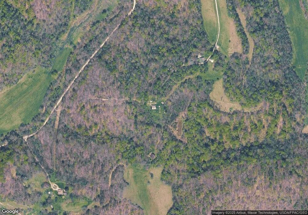
Map
Nearby Homes
- 0 County Road 213
- 174 Township Road 74
- 321 Township Road 75 S
- 13498 County Road 2
- 10727 B Lincoln Pike
- 0 Ohio 790
- 0 Ohio 775
- 0 Rocky Fork Rd
- 10727 B Lincoln Pike
- X Lincoln Pike
- 479 Township Road 122
- 168 Township Road 122 W
- 814 Wells Run Rd
- 0 Dillon Ridge Unit 23651508
- 0 Dillon Ridge Unit 181305
- State Route 790
- 1805 Long Creek Rd E
- 000 Lincoln Pike
- 0 Lincoln Pike
- 0 Johns Creek Road Lot Unit Wp001
- 1116 Township Road 217
- 7728 County Road 37
- 1504 Twp Rd 217 Unit 265 Pvt. Dr. 1504 Tw
- 1503 Township Road 217
- 0 Township Road 217 Unit 222006501
- 2-1114 Palestine Church-Okey Church Rd
- 0 Township Road 217
- 0 Palestine Church-Okey Church Rd
- 7628 County Road 37
- 8456 County Road 37
- 8598 County Road 37
- 1763 County Road 213
- 779 County Road 195
- 8972 County Road 37
- 8756 County Road 37