1206 W 161st St Westfield, IN 46074
Estimated Value: $1,009,000 - $1,555,000
4
Beds
5
Baths
5,619
Sq Ft
$222/Sq Ft
Est. Value
About This Home
This home is located at 1206 W 161st St, Westfield, IN 46074 and is currently estimated at $1,249,756, approximately $222 per square foot. 1206 W 161st St is a home located in Hamilton County with nearby schools including Maple Glen Elementary, Westfield Intermediate School, and Westfield Middle School.
Ownership History
Date
Name
Owned For
Owner Type
Purchase Details
Closed on
Apr 28, 2011
Sold by
Moffett Elijah C and Moffett Katherine M
Bought by
Osborne Bruce E and Osborne Paige W
Current Estimated Value
Home Financials for this Owner
Home Financials are based on the most recent Mortgage that was taken out on this home.
Original Mortgage
$136,000
Outstanding Balance
$94,514
Interest Rate
4.88%
Mortgage Type
Unknown
Estimated Equity
$1,155,242
Purchase Details
Closed on
Apr 25, 2006
Sold by
Busby Llc
Bought by
Moffett Elijah C and Moffett Katherine M
Home Financials for this Owner
Home Financials are based on the most recent Mortgage that was taken out on this home.
Original Mortgage
$180,960
Interest Rate
6.37%
Mortgage Type
Fannie Mae Freddie Mac
Purchase Details
Closed on
Sep 6, 2001
Sold by
Busby Drilling Company Inc
Bought by
Busby Llc
Create a Home Valuation Report for This Property
The Home Valuation Report is an in-depth analysis detailing your home's value as well as a comparison with similar homes in the area
Home Values in the Area
Average Home Value in this Area
Purchase History
| Date | Buyer | Sale Price | Title Company |
|---|---|---|---|
| Osborne Bruce E | -- | None Available | |
| Moffett Elijah C | -- | Enterprise Title | |
| Busby Llc | -- | -- |
Source: Public Records
Mortgage History
| Date | Status | Borrower | Loan Amount |
|---|---|---|---|
| Open | Osborne Bruce E | $136,000 | |
| Previous Owner | Moffett Elijah C | $180,960 |
Source: Public Records
Tax History Compared to Growth
Tax History
| Year | Tax Paid | Tax Assessment Tax Assessment Total Assessment is a certain percentage of the fair market value that is determined by local assessors to be the total taxable value of land and additions on the property. | Land | Improvement |
|---|---|---|---|---|
| 2024 | $11,772 | $1,048,200 | $96,200 | $952,000 |
| 2023 | $11,787 | $975,100 | $94,500 | $880,600 |
| 2022 | $10,784 | $879,400 | $92,600 | $786,800 |
| 2021 | $10,027 | $787,600 | $91,700 | $695,900 |
| 2020 | $9,429 | $731,000 | $91,600 | $639,400 |
| 2019 | $10,706 | $834,800 | $65,800 | $769,000 |
| 2018 | $10,457 | $803,900 | $66,000 | $737,900 |
| 2017 | $9,252 | $771,800 | $67,100 | $704,700 |
| 2016 | $9,159 | $761,400 | $68,000 | $693,400 |
| 2014 | $11,408 | $802,700 | $148,600 | $654,100 |
| 2013 | $11,408 | $802,700 | $148,600 | $654,100 |
Source: Public Records
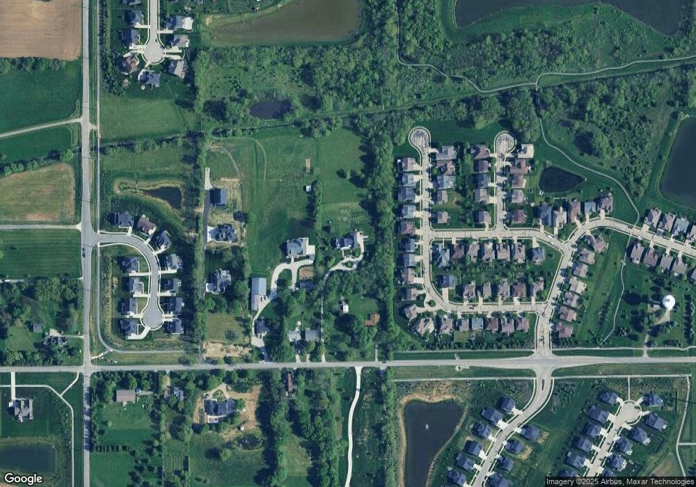
Map
Nearby Homes
- 1255 W 161st St
- 936 Plunkett Ave
- 15865 W Rail Dr
- 1274 Clairet Dr
- 15706 Maybell Ln
- 15728 Allure Dr
- 1539 Ballast Ave
- 1204 Middlebury Dr
- 15564 Bethesda Cir
- 15657 Hush Hickory Bend
- 564 Zephyr Way
- 2175 Ryder Place
- 514 Lynton Way
- 1413 Crosstie Cir
- 16753 Maverick Ct
- 931 Maidstone Ave
- 1939 W 161st St
- 16964 Brigg Ct
- 871 Maidstone Ave
- 16446 Lakeville Crossing
- 16168 Howden Dr
- 16202 Howden Dr
- 16174 Howden Dr
- 16218 Howden Dr
- 16162 Howden Dr
- 16156 Howden Dr
- 1132 W 161st St
- 16250 Howden Dr
- 16165 Howden Dr
- 1210 W 161st St
- 16150 Howden Dr
- 16217 Howden Dr
- 16266 Howden Dr
- 1212 W 161st St
- 16233 Howden Dr
- 16161 Howden Dr
- 16249 Howden Dr
- 16144 Howden Dr
- 1220 W 161st St
- 1234 W 161st St