12060 Hansen Rd Splendora, TX 77372
Estimated Value: $280,000 - $457,000
--
Bed
--
Bath
1,923
Sq Ft
$185/Sq Ft
Est. Value
About This Home
This home is located at 12060 Hansen Rd, Splendora, TX 77372 and is currently estimated at $356,660, approximately $185 per square foot. 12060 Hansen Rd is a home with nearby schools including Splendora High School.
Ownership History
Date
Name
Owned For
Owner Type
Purchase Details
Closed on
Feb 17, 2010
Sold by
Wehring Rita Martin and Martin Tommy Marshall
Bought by
Dacus Ronald D and Dacus Stephanie E
Current Estimated Value
Home Financials for this Owner
Home Financials are based on the most recent Mortgage that was taken out on this home.
Original Mortgage
$40,000
Interest Rate
5.05%
Mortgage Type
Purchase Money Mortgage
Purchase Details
Closed on
Jan 16, 1981
Sold by
Martin Peter M
Bought by
Dacus Ronald D and Dacus Stephanie E
Create a Home Valuation Report for This Property
The Home Valuation Report is an in-depth analysis detailing your home's value as well as a comparison with similar homes in the area
Home Values in the Area
Average Home Value in this Area
Purchase History
| Date | Buyer | Sale Price | Title Company |
|---|---|---|---|
| Dacus Ronald D | -- | Stewart Title Houston Div | |
| Dacus Ronald D | -- | -- |
Source: Public Records
Mortgage History
| Date | Status | Borrower | Loan Amount |
|---|---|---|---|
| Closed | Dacus Ronald D | $40,000 |
Source: Public Records
Tax History Compared to Growth
Tax History
| Year | Tax Paid | Tax Assessment Tax Assessment Total Assessment is a certain percentage of the fair market value that is determined by local assessors to be the total taxable value of land and additions on the property. | Land | Improvement |
|---|---|---|---|---|
| 2025 | $3,231 | $275,000 | -- | -- |
| 2024 | $3,231 | $250,000 | $91,550 | $158,450 |
| 2023 | $3,129 | $275,000 | $91,550 | $210,290 |
| 2022 | $5,026 | $250,000 | $91,550 | $158,450 |
| 2021 | $5,196 | $249,990 | $76,290 | $180,770 |
| 2020 | $5,028 | $227,260 | $76,290 | $181,650 |
| 2019 | $4,823 | $206,600 | $50,860 | $155,740 |
| 2018 | $4,543 | $221,980 | $51,360 | $170,620 |
| 2017 | $5,197 | $221,980 | $51,360 | $170,620 |
| 2016 | $5,221 | $223,010 | $51,360 | $171,650 |
| 2015 | $745 | $207,600 | $35,950 | $171,650 |
| 2014 | $745 | $35,950 | $35,950 | $0 |
Source: Public Records
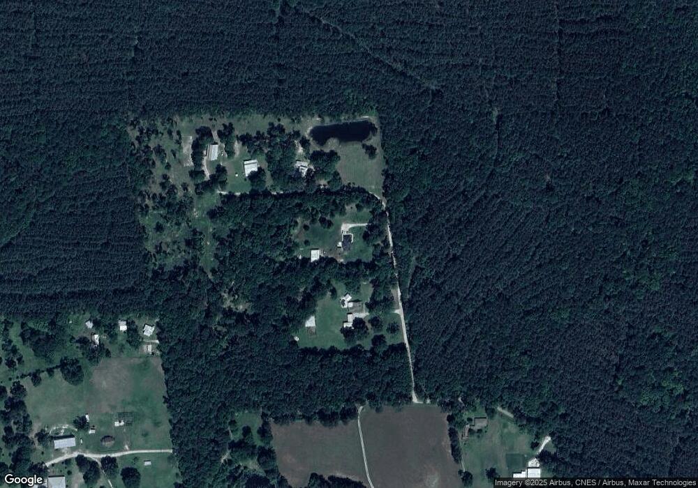
Map
Nearby Homes
- 12550 Daw Collins Rd
- 12123 Kellsway Ct
- 12117 Kellsway Ct
- 18725 Loom Dr
- 12110 Kellsway Ct
- 18920 Kingham Woods Ct
- 18729 Loom Dr
- 18733 Loom Dr
- 18732 Loom Dr
- Oakridge Plan at Spring Branch Crossing
- Pinehollow Plan at Spring Branch Crossing
- Whitetail Plan at Spring Branch Crossing
- Kitson Plan at Spring Branch Crossing
- Idlewood Plan at Spring Branch Crossing
- Bluebonnet Plan at The Enclave at Spring Branch
- 18756 Barrichello Dr
- 18631 Ratho Dr
- 19022 Thorton Ct
- 18519 Childress Dr
- Mimosa Plan at The Enclave at Spring Branch
- 12130 Hansen Rd
- 12006 Hansen Rd
- 0000 Hansen Rd
- 12210 Pope Trail
- 21116 Carter Rd
- 12134 Pope Trail
- 12134 Pope Trail
- 21195 Carter Rd
- 21120 Carter Rd
- 21080 Carter Rd
- 20962 Carter Rd
- 20711 Carter Rd
- 20711 Carter Rd
- 21096 Carter Rd
- 0 Daw Collins Rd
- TBD Daw Collins
- 12606 Daw Collins Rd
- 21480 Davis Rd
- 12655 Daw Collins Rd
- 12700 Daw Collins Rd