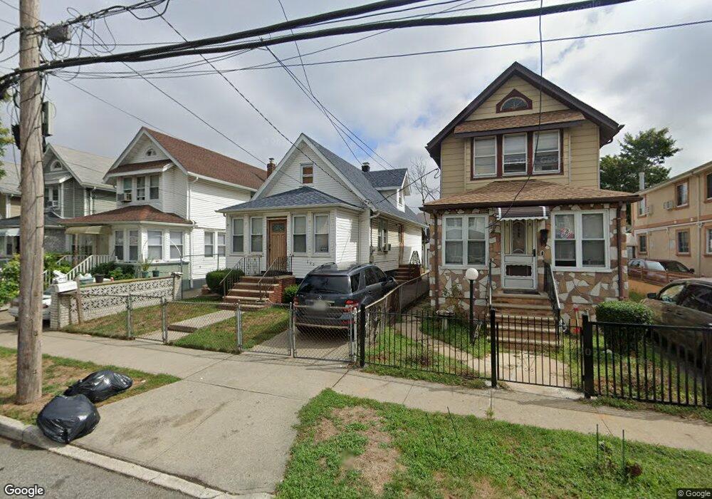
12061 132nd St South Ozone Park, NY 11420
South Ozone Park NeighborhoodEstimated Value: $695,704 - $751,000
--
Bed
--
Bath
1,126
Sq Ft
$647/Sq Ft
Est. Value
About This Home
This home is located at 12061 132nd St, South Ozone Park, NY 11420 and is currently estimated at $728,426, approximately $646 per square foot. 12061 132nd St is a home located in Queens County with nearby schools including P.S. 96, J.H.S. 226 Virgil I. Grisson, and John Adams High School.
Ownership History
Date
Name
Owned For
Owner Type
Purchase Details
Closed on
Dec 10, 2005
Sold by
Howard Laura and Howard Walton
Bought by
Howard Laura
Current Estimated Value
Purchase Details
Closed on
Sep 11, 2003
Sold by
Howard Laura and Howard Walton
Bought by
Walton Laura
Purchase Details
Closed on
Jun 12, 1997
Sold by
Cuevas Fabio A and Cabral Norma A
Bought by
Howard Laura
Home Financials for this Owner
Home Financials are based on the most recent Mortgage that was taken out on this home.
Original Mortgage
$144,682
Interest Rate
7.5%
Create a Home Valuation Report for This Property
The Home Valuation Report is an in-depth analysis detailing your home's value as well as a comparison with similar homes in the area
Home Values in the Area
Average Home Value in this Area
Purchase History
| Date | Buyer | Sale Price | Title Company |
|---|---|---|---|
| Howard Laura | -- | -- | |
| Howard Laura | -- | -- | |
| Walton Laura | -- | -- | |
| Walton Laura | -- | -- | |
| Howard Laura | $148,000 | First American Title Ins Co | |
| Howard Laura | $148,000 | First American Title Ins Co |
Source: Public Records
Mortgage History
| Date | Status | Borrower | Loan Amount |
|---|---|---|---|
| Previous Owner | Howard Laura | $144,682 | |
| Closed | Howard Laura | $0 |
Source: Public Records
Tax History Compared to Growth
Tax History
| Year | Tax Paid | Tax Assessment Tax Assessment Total Assessment is a certain percentage of the fair market value that is determined by local assessors to be the total taxable value of land and additions on the property. | Land | Improvement |
|---|---|---|---|---|
| 2025 | $5,281 | $27,946 | $5,438 | $22,508 |
| 2024 | $5,293 | $27,695 | $6,061 | $21,634 |
| 2023 | $4,972 | $26,154 | $5,493 | $20,661 |
| 2022 | $4,641 | $37,020 | $9,060 | $27,960 |
| 2021 | $4,605 | $35,280 | $9,060 | $26,220 |
| 2020 | $4,633 | $33,540 | $9,060 | $24,480 |
| 2019 | $4,535 | $29,100 | $9,060 | $20,040 |
| 2018 | $4,145 | $21,795 | $7,108 | $14,687 |
| 2017 | $3,894 | $20,571 | $6,539 | $14,032 |
| 2016 | $3,570 | $20,571 | $6,539 | $14,032 |
| 2015 | $2,121 | $19,407 | $8,932 | $10,475 |
| 2014 | $2,121 | $19,233 | $8,139 | $11,094 |
Source: Public Records
Map
Nearby Homes
- 120-56 132nd St
- 120-36 132nd St
- 13013 Sutter Ave
- 13410 Sutter Ave
- 132-01 131st Ave
- 123-45 135th St
- 12321 135th St
- 12940 135th St
- 130-16 130th St
- 12826 Gotham Rd
- 129-55 134th St
- 13305 120th Ave
- 13015 129th St
- 129-28 135th Place
- 131-10 134th St
- 13121 133rd St
- 129-13 135th Place
- 131-15 130th St
- 135-40 Alwick Rd
- 12808 Sutter Ave
- 12057 132nd St
- 12063 132nd St
- 12055 132nd St
- 12065 132nd St
- 12053 132nd St
- 120-69 132nd St
- 12069 132nd St
- 12069 132nd St
- 12051 132nd St
- 12156 133rd St
- 12160 133rd St
- 12152 133rd St
- 12071 132nd St
- 121-56 133rd St Unit 2
- 121-56 133rd St Unit 1
- 121-56 133rd St
- 12164 133rd St
- 12047 132nd St
- 12148 133rd St
- 12164 133rd St