Estimated Value: $272,000 - $395,000
--
Bed
1
Bath
4,138
Sq Ft
$81/Sq Ft
Est. Value
About This Home
This home is located at 12064 Highway Pp, Dixon, MO 65459 and is currently estimated at $334,270, approximately $80 per square foot. 12064 Highway Pp is a home located in Pulaski County with nearby schools including Dixon Elementary School, Dixon Middle School, and Dixon High School.
Ownership History
Date
Name
Owned For
Owner Type
Purchase Details
Closed on
Dec 6, 2019
Sold by
Maes Sue A
Bought by
Ray Bobby and Ray Jackie
Current Estimated Value
Purchase Details
Closed on
Mar 31, 2009
Sold by
Wilson Jack and Wilson Linda Gail
Bought by
Ray Bobby and Ray Jackie
Create a Home Valuation Report for This Property
The Home Valuation Report is an in-depth analysis detailing your home's value as well as a comparison with similar homes in the area
Home Values in the Area
Average Home Value in this Area
Purchase History
| Date | Buyer | Sale Price | Title Company |
|---|---|---|---|
| Ray Bobby | -- | None Available | |
| Ray Bobby | -- | None Available |
Source: Public Records
Tax History Compared to Growth
Tax History
| Year | Tax Paid | Tax Assessment Tax Assessment Total Assessment is a certain percentage of the fair market value that is determined by local assessors to be the total taxable value of land and additions on the property. | Land | Improvement |
|---|---|---|---|---|
| 2024 | $1,831 | $44,480 | $3,040 | $41,440 |
| 2023 | $1,823 | $44,480 | $3,040 | $41,440 |
| 2022 | $1,821 | $44,480 | $3,040 | $41,440 |
| 2021 | $1,821 | $44,480 | $3,040 | $41,440 |
| 2020 | $1,749 | $42,507 | $0 | $0 |
| 2019 | $1,749 | $42,507 | $0 | $0 |
| 2018 | $1,748 | $42,507 | $0 | $0 |
| 2017 | $1,698 | $39,313 | $0 | $0 |
| 2016 | $1,703 | $41,460 | $0 | $0 |
| 2015 | $1,704 | $41,460 | $0 | $0 |
| 2014 | $1,704 | $41,460 | $0 | $0 |
Source: Public Records
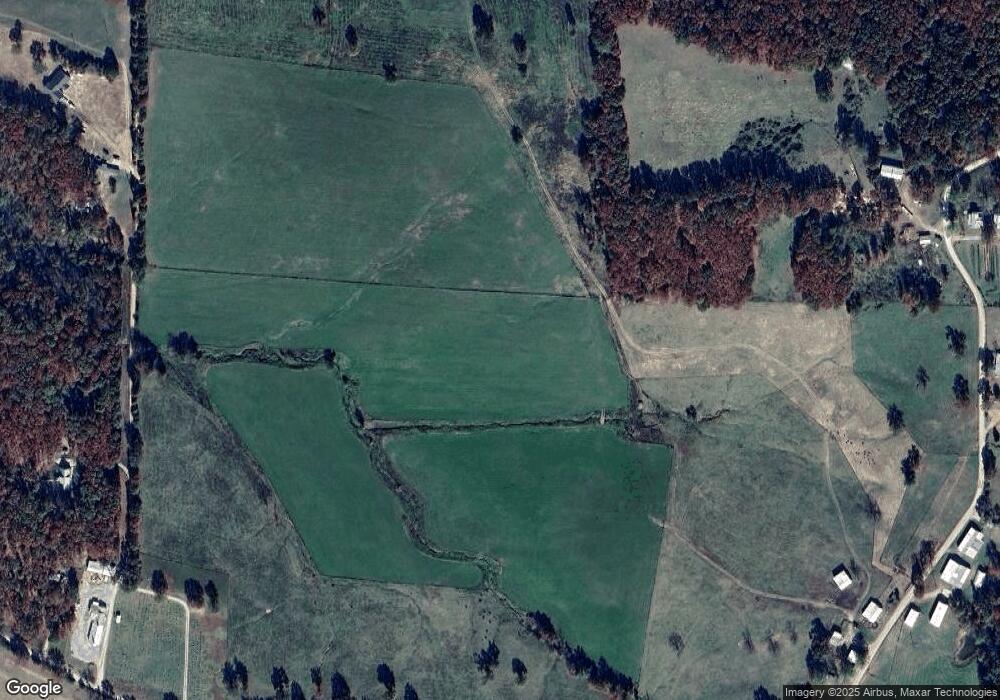
Map
Nearby Homes
- 18447 Charity Dr
- 12705 Highway Pp
- 11525 Highway Pp
- 12726 Highway Pp
- 17485 Cashew Ln
- 13875 Highway Pp
- 13222 Hillview Ln
- 20605 Highway 28
- 20585 Highway 28
- 000 Clementine Outer Rd
- 24900 Clementine Rd
- 15216 Columbia Rd
- 0 Hank Ln
- 16000 State Route J
- 0 Cardinal Rd Unit MIS25035680
- 000 State Route J
- Tract D Holiday Ln
- Tract C Holiday Ln
- 14390 Harvey Dr
- 14505 Harvey Dr
- 12075 Highway Pp
- 12075 Highway Pp
- 12065 Highway Pp
- 12045 Highway Pp
- 12059 Highway Pp
- 12055 Highway Pp
- 12055 Highway Pp
- 12055 Highway Pp
- 12055 Highway Pp
- 12055 Highway Pp
- 11974 Highway Pp
- 11964 Highway Pp
- 11964 Highway Pp
- 18450 Charity Dr
- 12405 Highway Pp
- 11965 Highway Pp
- 11965 Highway Pp
- 11965 Highway Pp
- 11965 Highway Pp
- 11954 Highway Pp