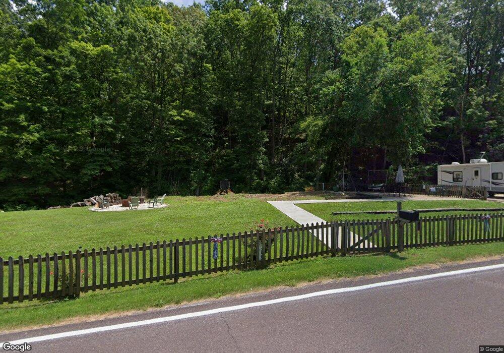
12065 Highway A Frohna, MO 63748
Estimated Value: $60,115 - $218,000
--
Bed
--
Bath
780
Sq Ft
$181/Sq Ft
Est. Value
About This Home
This home is located at 12065 Highway A, Frohna, MO 63748 and is currently estimated at $141,372, approximately $181 per square foot. 12065 Highway A is a home.
Ownership History
Date
Name
Owned For
Owner Type
Purchase Details
Closed on
Mar 9, 2023
Sold by
Perry John
Bought by
Boettcher Andrew J
Current Estimated Value
Purchase Details
Closed on
Dec 7, 2018
Sold by
Ussery Lana S
Bought by
Boyd Robert Edmonds and Edmonds Sherry L
Home Financials for this Owner
Home Financials are based on the most recent Mortgage that was taken out on this home.
Original Mortgage
$34,400
Interest Rate
4.8%
Mortgage Type
Construction
Purchase Details
Closed on
Feb 19, 2003
Bought by
Ussery Laverl and Ussery Lanna S
Create a Home Valuation Report for This Property
The Home Valuation Report is an in-depth analysis detailing your home's value as well as a comparison with similar homes in the area
Home Values in the Area
Average Home Value in this Area
Purchase History
| Date | Buyer | Sale Price | Title Company |
|---|---|---|---|
| Boettcher Andrew J | -- | -- | |
| Boyd Robert Edmonds | $43,000 | -- | |
| Ussery Laverl | -- | -- |
Source: Public Records
Mortgage History
| Date | Status | Borrower | Loan Amount |
|---|---|---|---|
| Previous Owner | Boyd Robert Edmonds | $34,400 |
Source: Public Records
Tax History Compared to Growth
Tax History
| Year | Tax Paid | Tax Assessment Tax Assessment Total Assessment is a certain percentage of the fair market value that is determined by local assessors to be the total taxable value of land and additions on the property. | Land | Improvement |
|---|---|---|---|---|
| 2024 | $133 | $2,902 | $1,826 | $1,076 |
| 2023 | $133 | $2,902 | $1,826 | $1,076 |
| 2022 | $256 | $5,601 | $1,691 | $3,910 |
| 2021 | $255 | $5,601 | $1,691 | $3,910 |
| 2020 | $243 | $5,160 | $1,501 | $3,659 |
| 2019 | $242 | $5,160 | $1,501 | $3,659 |
| 2018 | $202 | $4,706 | $1,121 | $3,585 |
| 2017 | $202 | $4,706 | $1,121 | $3,585 |
| 2016 | $202 | $4,306 | $1,121 | $3,185 |
| 2015 | -- | $4,306 | $1,121 | $3,185 |
| 2014 | -- | $4,306 | $1,121 | $3,185 |
Source: Public Records
Map
Nearby Homes
- 612 3rd Ave
- 315 3rd Ave
- 9302 Main St
- 9112 Main St
- Lot #1 Highway C
- Lot #3 Highway C
- Lot #2 Highway C
- Lot #4 Highway C
- 306 Washington St
- 5435 Hickory Ridge Rd
- 1074 County Road 512
- 274 Adam Ln
- 292 Quail Trail
- 140 Alto Pass Rd
- 8384 Hickory Ridge Rd
- 604 Shoal Creek Rd
- 0 Buttermilk Hill Rd
- 0 County Road 506
- 0000 Forest Rd
- 0 County Rd 506
- 12004 Highway A
- 12157 Highway A
- 12044 Highway A
- 12114 Highway A
- 12044 Highway C
- 12160 Highway A
- 11985 Highway A
- 12201 Highway A
- 12148 Highway A
- 11916 Highway A
- 12279 Highway A
- 182 Pcr 460
- 12284 Highway A
- 11814 Highway A
- 187 Pcr 460
- 18995 Highway A
- 460 Off Pcr
- 380 Pcr 460
- 12461 Highway A
- 11721 Highway A