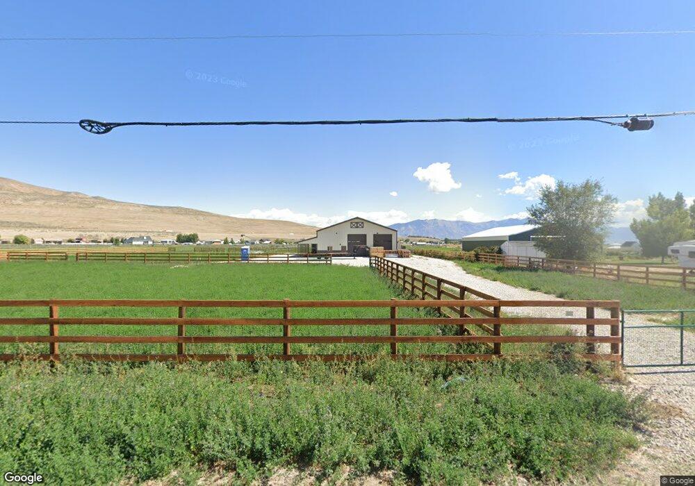
12068 N 10000 W Unit 2 Tremonton, UT 84337
Estimated Value: $274,072
--
Bed
--
Bath
--
Sq Ft
5
Acres
About This Home
This home is located at 12068 N 10000 W Unit 2, Tremonton, UT 84337 and is currently estimated at $274,072. 12068 N 10000 W Unit 2 is a home located in Box Elder County with nearby schools including Garland School, Alice C. Harris Intermediate School, and Bear River Middle School.
Ownership History
Date
Name
Owned For
Owner Type
Purchase Details
Closed on
Oct 30, 2019
Sold by
Spencer Elden G and Spencer Nancy M
Bought by
Madsen Doug A and Watts Trish
Current Estimated Value
Home Financials for this Owner
Home Financials are based on the most recent Mortgage that was taken out on this home.
Original Mortgage
$134,000
Outstanding Balance
$118,119
Interest Rate
3.7%
Mortgage Type
Balloon
Estimated Equity
$155,953
Purchase Details
Closed on
Sep 25, 2006
Sold by
Clinger Construction Inc
Bought by
Spencer Elden G and Spencer Nancy M
Create a Home Valuation Report for This Property
The Home Valuation Report is an in-depth analysis detailing your home's value as well as a comparison with similar homes in the area
Home Values in the Area
Average Home Value in this Area
Purchase History
| Date | Buyer | Sale Price | Title Company |
|---|---|---|---|
| Madsen Doug A | -- | First Amer Ttl Legend Hills | |
| Spencer Elden G | -- | Inwest Title Services Inc |
Source: Public Records
Mortgage History
| Date | Status | Borrower | Loan Amount |
|---|---|---|---|
| Open | Madsen Doug A | $134,000 |
Source: Public Records
Tax History Compared to Growth
Tax History
| Year | Tax Paid | Tax Assessment Tax Assessment Total Assessment is a certain percentage of the fair market value that is determined by local assessors to be the total taxable value of land and additions on the property. | Land | Improvement |
|---|---|---|---|---|
| 2025 | $2,761 | $342,431 | $210,000 | $132,431 |
| 2024 | $2,761 | $338,182 | $200,000 | $138,182 |
| 2023 | $2,579 | $319,222 | $192,000 | $127,222 |
| 2022 | $2,046 | $238,765 | $128,000 | $110,765 |
| 2021 | $2,248 | $115,000 | $115,000 | $0 |
| 2020 | $1,138 | $115,000 | $115,000 | $0 |
| 2019 | $1,185 | $40,000 | $20,000 | $20,000 |
| 2018 | $1,268 | $115,000 | $115,000 | $0 |
| 2017 | $1,314 | $115,000 | $115,000 | $0 |
| 2016 | $1,304 | $115,000 | $115,000 | $0 |
| 2015 | $1,318 | $115,000 | $115,000 | $0 |
| 2014 | $1,318 | $20,000 | $20,000 | $0 |
| 2013 | -- | $115,000 | $95,000 | $20,000 |
Source: Public Records
Map
Nearby Homes
- 13464 N 10800 W Unit 4
- 10230 W 11200 N
- 12695 N 10800 W
- 13585 N 10000 W
- 3566 W 1000 N
- 10645 N 10800 W Unit 1
- 10205 W 10400 N
- 229 W 1470 S Unit 44
- 10959 N 8300 W
- 10973 N 8300 W Unit 24
- 3101 W 1000 N
- 11157 N 8300 W Unit 10
- 8345 W 11050 N
- 11148 N 8300 W Unit 11
- Xavier Plan at Beckams Edge
- Ravenstone Plan at Beckams Edge
- Stanton Plan at Beckams Edge
- Somerley Plan at Beckams Edge
- Kensington Plan at Beckams Edge
- Northfield Plan at Beckams Edge
- 12068 N 10000 W
- 12024 N 10000 W Unit 1
- 12144 N 10000 W Unit 4
- 11980 N 10000 W
- 11980 N 10000 W
- 9765 W Point Lookout Dr Unit 36
- 9765 W Point Lookout Dr Unit 36
- 9765 Point Lookout Dr
- 12182 N 10000 W
- 12182 N 10000 W Unit 5
- 10045 W 12000 N
- 9815 W Point Lookout Dr Unit 37
- 11930 N 10000 W
- 10065 W 12000 N
- 12230 N 10000 W
- 10090 W 12000 N
- 9830 W Point Lookout Dr Unit 11
- 9725 W Point Lookout Dr Unit 35
- 9810 W Point Lookout Dr
- 9810 W Point Lookout Dr Unit 12