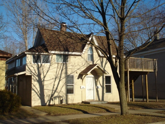

1207 10th St S La Crosse, WI 54601
Powell Poage Hamilton Neighborhood
2
Beds
1
Bath
100
Sq Ft
6,926
Sq Ft Lot
About This Home
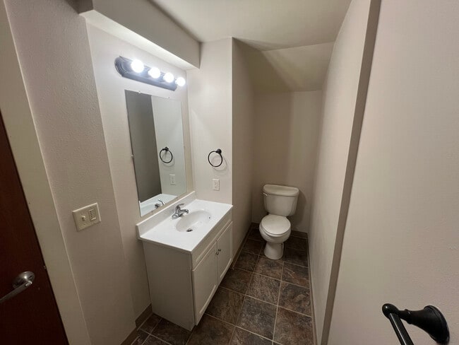
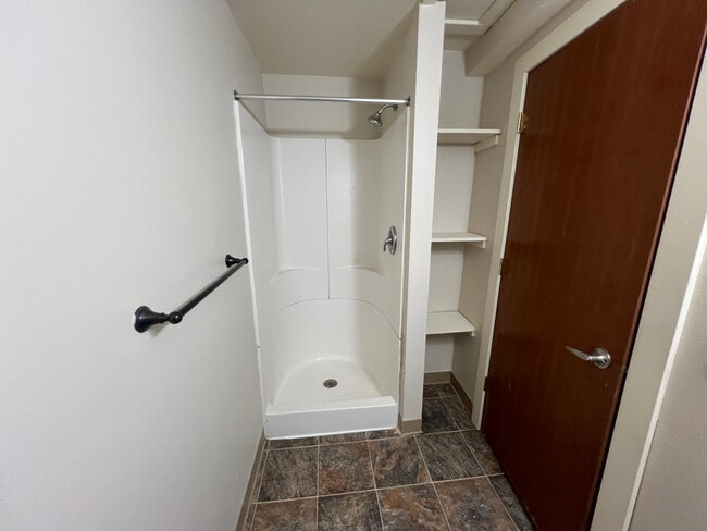
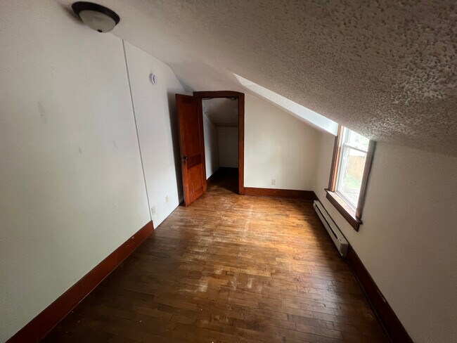
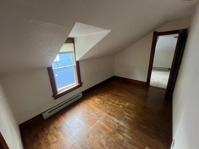
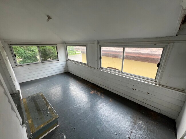
Great upper rental opportunity - just blocks from Viterbo University and Gundersen. This unit features a large walk-out deck, air conditioning, hardwood floors and off-street parking. Kitchen is equipped with a stove a refrigerator. Bathroom has a shower stall only - no bathtub. Tenant pays for utilities, lawn care and snow removal. No smoking and no pets allowed. A 2026-27 school year lease is required along with a $850 security deposit.
Listing Provided By

Map
Property History
| Date | Event | Price | List to Sale | Price per Sq Ft |
|---|---|---|---|---|
| 10/01/2025 10/01/25 | For Rent | $850 | -- | -- |
Nearby Homes
- 938 Hood St
- 1124 West Ave S
- 1229 Hintgen Ct
- 1608 West Ave S
- 1027 6th St S
- 1406 6th St S
- 1322 5th Ave S
- 1308 5th Ave S
- 1521 Denton St
- 511 Mississippi St
- 1321 4th St S
- 1315 4th St S
- 912 Cameron Ave
- 527 15th St S
- 1612 Green Bay St
- 1653 Redfield St
- 1506 Barlow St
- 221 10th St S
- 1920 Fanell Dr
- 1615 Madison St
- 1213 9th St S
- 1133 9th St S
- 1502 10th St S
- 1221 8th St S Unit 1221
- 1519 11th St S Unit 1
- 1018 8th St S Unit 1018
- 1014 8th St S Unit 1014
- 1233 Jackson St
- 1619 10th St S
- 1205 Mississippi St Unit 1205
- 823 West Ave S Unit 823
- 821 West Ave S Unit 821
- 1224 7th St S Unit 1224
- 720 Mississippi St
- 913 7th St S Unit 1
- 801 West Ave S Unit Lower
- 924 7th St S
- 924 7th St S
- 924 7th St S
- 924 7th St S