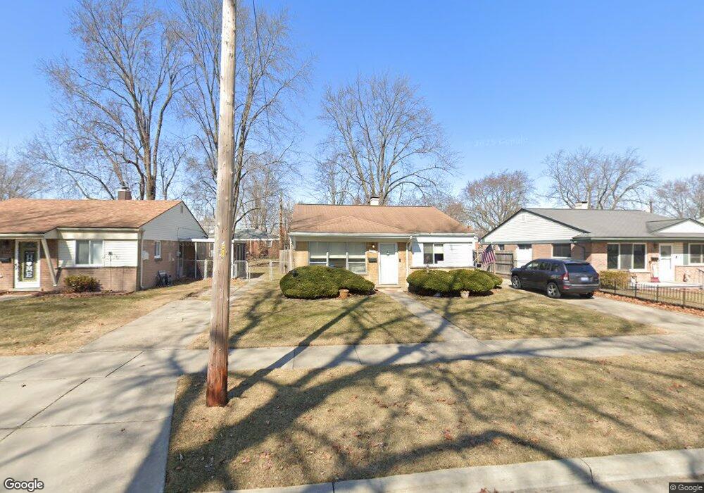
1207 Connie Ave Madison Heights, MI 48071
Estimated Value: $199,628 - $234,000
3
Beds
1
Bath
1,044
Sq Ft
$209/Sq Ft
Est. Value
About This Home
This home is located at 1207 Connie Ave, Madison Heights, MI 48071 and is currently estimated at $218,657, approximately $209 per square foot. 1207 Connie Ave is a home located in Oakland County with nearby schools including Lamphere High School, Four Corners Montessori Academy, and Michigan Mathematics and Science Academy Dequindre.
Ownership History
Date
Name
Owned For
Owner Type
Purchase Details
Closed on
Aug 29, 2024
Sold by
Sands Michael C
Bought by
Sands Michael C and Sands Dawn M
Current Estimated Value
Purchase Details
Closed on
Feb 22, 2006
Sold by
Bozman Patricia A
Bought by
Sands Michael C
Home Financials for this Owner
Home Financials are based on the most recent Mortgage that was taken out on this home.
Original Mortgage
$122,000
Interest Rate
6.2%
Mortgage Type
New Conventional
Create a Home Valuation Report for This Property
The Home Valuation Report is an in-depth analysis detailing your home's value as well as a comparison with similar homes in the area
Home Values in the Area
Average Home Value in this Area
Purchase History
| Date | Buyer | Sale Price | Title Company |
|---|---|---|---|
| Sands Michael C | -- | None Listed On Document | |
| Sands Michael C | $122,000 | Capital Title Ins Agency |
Source: Public Records
Mortgage History
| Date | Status | Borrower | Loan Amount |
|---|---|---|---|
| Previous Owner | Sands Michael C | $122,000 |
Source: Public Records
Tax History Compared to Growth
Tax History
| Year | Tax Paid | Tax Assessment Tax Assessment Total Assessment is a certain percentage of the fair market value that is determined by local assessors to be the total taxable value of land and additions on the property. | Land | Improvement |
|---|---|---|---|---|
| 2024 | $1,790 | $81,110 | $0 | $0 |
| 2023 | $1,719 | $73,670 | $0 | $0 |
| 2022 | $2,000 | $64,870 | $0 | $0 |
| 2021 | $1,976 | $60,830 | $0 | $0 |
| 2020 | $1,609 | $58,340 | $0 | $0 |
| 2019 | $1,883 | $53,380 | $0 | $0 |
| 2018 | $1,854 | $46,180 | $0 | $0 |
| 2017 | $1,825 | $46,180 | $0 | $0 |
| 2016 | $1,752 | $41,830 | $0 | $0 |
| 2015 | -- | $36,860 | $0 | $0 |
| 2014 | -- | $32,000 | $0 | $0 |
| 2011 | -- | $36,000 | $0 | $0 |
Source: Public Records
Map
Nearby Homes
- 1285 Jenifer Ave
- 28641 Denise St
- 1374 Diana Ave
- 28737 Denise St
- 28720 Alden St
- 1580 Nottingham Dr
- 28767 Alden St
- 27365 Park Ct
- 27328 Park Ct
- 1721 Westbrook Dr
- 338 Sonia Ave
- 27869 Osmun St
- 27108 Vance St
- 247 Hecht Dr
- 242 E Parker Ave
- 28000 Universal Dr Unit 1
- 28012 Universal Dr
- 27441 Delton St
- 27828 Groveland St
- 27824 Groveland St
- 1217 Connie Ave
- 1197 Connie Ave
- 1227 Connie Ave
- 1187 Connie Ave
- 1254 Darlene Ave
- 1244 Darlene Ave
- 1234 Darlene Ave
- 1264 Darlene Ave
- 1177 Connie Ave
- 1241 Connie Ave
- 1278 Darlene Ave
- 1208 Connie Ave
- 1218 Connie Ave
- 1198 Connie Ave
- 1224 Darlene Ave
- 1214 Darlene Ave
- 1228 Connie Ave
- 1188 Connie Ave
- 1167 Connie Ave
- 1292 Darlene Ave