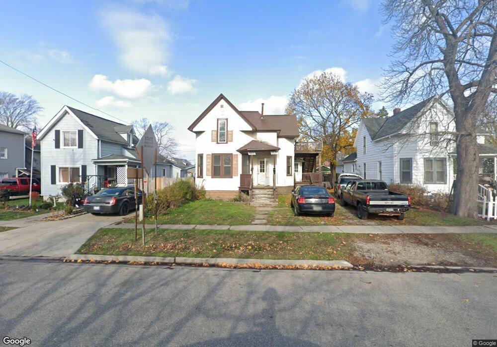
1207 Hancock St Port Huron, MI 48060
Estimated Value: $129,000 - $163,000
3
Beds
2
Baths
1,089
Sq Ft
$132/Sq Ft
Est. Value
About This Home
This home is located at 1207 Hancock St, Port Huron, MI 48060 and is currently estimated at $144,145, approximately $132 per square foot. 1207 Hancock St is a home located in St. Clair County with nearby schools including Garfield Elementary School, Holland Woods Middle School, and Port Huron Northern High School.
Ownership History
Date
Name
Owned For
Owner Type
Purchase Details
Closed on
Dec 23, 2015
Sold by
Todd Shirley A and Todd John J
Bought by
Blue Water Management Llc
Current Estimated Value
Purchase Details
Closed on
Dec 14, 2015
Sold by
Gordon Property Management Llc
Bought by
Todd John J
Purchase Details
Closed on
Mar 14, 2011
Sold by
Gordon Property Management Llc
Bought by
Todd John J
Create a Home Valuation Report for This Property
The Home Valuation Report is an in-depth analysis detailing your home's value as well as a comparison with similar homes in the area
Home Values in the Area
Average Home Value in this Area
Purchase History
| Date | Buyer | Sale Price | Title Company |
|---|---|---|---|
| Blue Water Management Llc | $133 | -- | |
| Todd John J | $15,000 | -- | |
| Todd John J | -- | Liberty Title |
Source: Public Records
Tax History Compared to Growth
Tax History
| Year | Tax Paid | Tax Assessment Tax Assessment Total Assessment is a certain percentage of the fair market value that is determined by local assessors to be the total taxable value of land and additions on the property. | Land | Improvement |
|---|---|---|---|---|
| 2025 | $2,556 | $50,900 | $0 | $0 |
| 2024 | $2,325 | $47,700 | $0 | $0 |
| 2023 | $1,208 | $42,200 | $0 | $0 |
| 2022 | $1,164 | $33,300 | $0 | $0 |
| 2021 | $1,111 | $30,600 | $0 | $0 |
| 2020 | $1,116 | $28,400 | $28,400 | $0 |
| 2019 | $1,096 | $19,400 | $0 | $0 |
| 2018 | $1,072 | $19,400 | $0 | $0 |
| 2017 | $984 | $18,300 | $0 | $0 |
| 2016 | $867 | $18,300 | $0 | $0 |
| 2015 | $851 | $16,600 | $16,600 | $0 |
| 2014 | $851 | $15,800 | $15,800 | $0 |
| 2013 | -- | $15,800 | $0 | $0 |
Source: Public Records
Map
Nearby Homes
- 1116 Hancock St
- 2400 Stone St Unit 2414
- 2400 Walnut St
- 1218 Garfield St
- 909 Elmwood St
- 2419 Cherry St
- 1434 Schumaker St
- 2431 Armour St
- 1202 Palmer Ct
- 2913 11th Ave
- 1531 Robinson St
- 2835 17th Ave
- 3214 Poplar St
- 1020 Sanborn St
- 2812 19th Ave
- 3321 Stone St
- 1620 McBrady St
- 1907 Riverside Dr
- 1649 Whipple St
- 1819 Riverside Dr
- 1201 Hancock St
- 1123 Hancock St
- 1206 Hancock St
- 1211 Hancock St
- 1119 Hancock St
- 1202 Hancock St
- 1124 Hancock St
- 1124 Myrtle St
- 1215 Hancock St
- 1206 Myrtle St
- 1115 Hancock St
- 1212 Hancock St
- 1120 Hancock St
- 1202 Myrtle St
- 1122 Myrtle St
- 1212 Myrtle St
- 1221 Hancock St
- 1116 Myrtle St
- 1216 Hancock St
- 1218 Myrtle St