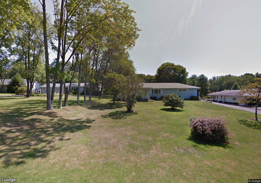
1207 Hubbard Thomas Rd Hubbard, OH 44425
Estimated Value: $147,000 - $209,000
2
Beds
1
Bath
1,084
Sq Ft
$165/Sq Ft
Est. Value
About This Home
This home is located at 1207 Hubbard Thomas Rd, Hubbard, OH 44425 and is currently estimated at $178,483, approximately $164 per square foot. 1207 Hubbard Thomas Rd is a home located in Trumbull County with nearby schools including Brookfield Elementary School, Brookfield Middle School, and Brookfield High School.
Ownership History
Date
Name
Owned For
Owner Type
Purchase Details
Closed on
Jun 1, 2010
Sold by
Walsh Frank W
Bought by
Walsh Mary B
Current Estimated Value
Purchase Details
Closed on
Nov 14, 2006
Sold by
Walsh Theresa
Bought by
Walsh Frank W
Purchase Details
Closed on
Sep 22, 2006
Sold by
Walsh Theresa
Bought by
Walsh Frank W
Purchase Details
Closed on
Jan 1, 1990
Bought by
Frank Frank W and Frank Theresa
Create a Home Valuation Report for This Property
The Home Valuation Report is an in-depth analysis detailing your home's value as well as a comparison with similar homes in the area
Home Values in the Area
Average Home Value in this Area
Purchase History
| Date | Buyer | Sale Price | Title Company |
|---|---|---|---|
| Walsh Mary B | -- | Attorney | |
| Walsh Frank W | -- | None Available | |
| Walsh Frank W | -- | None Available | |
| Frank Frank W | -- | -- |
Source: Public Records
Tax History Compared to Growth
Tax History
| Year | Tax Paid | Tax Assessment Tax Assessment Total Assessment is a certain percentage of the fair market value that is determined by local assessors to be the total taxable value of land and additions on the property. | Land | Improvement |
|---|---|---|---|---|
| 2024 | $1,473 | $41,970 | $5,040 | $36,930 |
| 2023 | $1,473 | $41,970 | $5,040 | $36,930 |
| 2022 | $1,255 | $30,980 | $4,620 | $26,360 |
| 2021 | $1,176 | $30,980 | $4,620 | $26,360 |
| 2020 | $1,168 | $30,980 | $4,620 | $26,360 |
| 2019 | $1,073 | $27,790 | $4,270 | $23,520 |
| 2018 | $1,064 | $27,790 | $4,270 | $23,520 |
| 2017 | $1,062 | $27,790 | $4,270 | $23,520 |
| 2016 | $1,044 | $26,750 | $4,730 | $22,020 |
| 2015 | $1,046 | $26,750 | $4,730 | $22,020 |
| 2014 | $1,041 | $26,750 | $4,730 | $22,020 |
| 2013 | $1,116 | $28,390 | $4,730 | $23,660 |
Source: Public Records
Map
Nearby Homes
- 1354 Stevenson Rd
- 7737 Elm St
- 7822 2nd St
- 7847 Chestnut St
- 1017 Broadway St
- 6855 Stewart Sharon Rd
- 7111 Pine Grove Dr
- 7370 Brookwood Dr
- 1911 Hubbard Thomas Rd
- 1952 Hubbard Masury Rd
- 7086 Warren Sharon Rd
- 7091 Warren Sharon Rd
- 6984 Warren Sharon Rd
- 705 S State Line Rd
- 545 & 625 Davis St
- 7159 Springdale Dr
- 718 State Route 7 NE
- 676 S State Line Rd
- 672 S Stateline Rd
- 691 S Irvine Ave
- 1217 Hubbard Thomas Rd
- 1193 Hubbard Thomas
- 1227 Hubbard Thomas Rd
- 1183 Hubbard Thomas Rd
- 1241 Hubbard Thomas Rd
- 1200 Thomas Hubbard Rd
- 1173 Hubbard Thomas Rd
- 1172 Hubbard Thomas Rd
- 1255 Hubbard Thomas Rd
- 1160 Hubbard Thomas Rd
- 1155 Hubbard Thomas Rd
- 1155 Hubbard Thomas Rd
- 1263 Hubbard Thomas Rd
- 1150 Hubbard Thomas Rd
- 1139 Hubbard Thomas Rd
- 1132 Hubbard Thomas Rd
- 1127 Hubbard Thomas Rd
- 1289 Hubbard Thomas Rd
- 7366 Stewart Sharon Rd
- 777 Stewart Sharon Rd