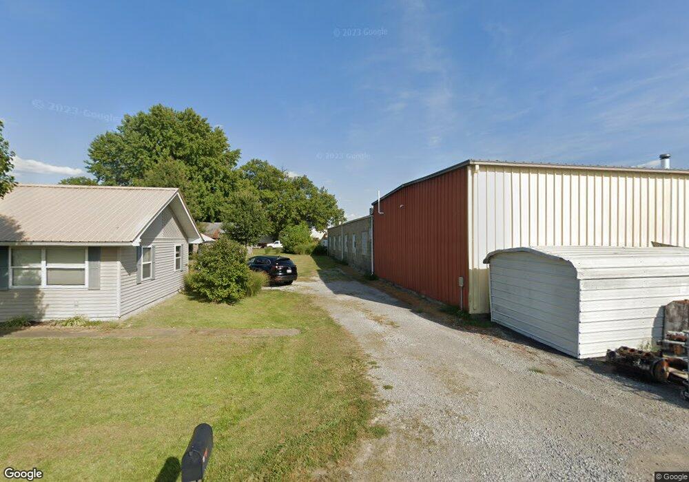
1207 McCluskie St Marion, IL 62959
Estimated Value: $220,934 - $325,000
--
Bed
--
Bath
3,024
Sq Ft
$90/Sq Ft
Est. Value
About This Home
This home is located at 1207 McCluskie St, Marion, IL 62959 and is currently estimated at $272,484, approximately $90 per square foot. 1207 McCluskie St is a home located in Williamson County with nearby schools including Lincoln Elementary School, Marion Junior High School, and Marion High School.
Ownership History
Date
Name
Owned For
Owner Type
Purchase Details
Closed on
Dec 30, 2020
Sold by
Reitz Haus Llc
Bought by
Perseverance Properties Llc
Current Estimated Value
Home Financials for this Owner
Home Financials are based on the most recent Mortgage that was taken out on this home.
Original Mortgage
$682,991
Outstanding Balance
$609,465
Interest Rate
2.7%
Mortgage Type
New Conventional
Estimated Equity
-$336,981
Purchase Details
Closed on
Sep 4, 2019
Sold by
Kent Mcwilliams and Kent Ronda
Bought by
Reitz Haus Llc
Create a Home Valuation Report for This Property
The Home Valuation Report is an in-depth analysis detailing your home's value as well as a comparison with similar homes in the area
Home Values in the Area
Average Home Value in this Area
Purchase History
| Date | Buyer | Sale Price | Title Company |
|---|---|---|---|
| Perseverance Properties Llc | $850,000 | Law Offices Of Brandon C Maybe | |
| Reitz Haus Llc | -- | Patchett Hampson And Garrison |
Source: Public Records
Mortgage History
| Date | Status | Borrower | Loan Amount |
|---|---|---|---|
| Open | Perseverance Properties Llc | $682,991 |
Source: Public Records
Tax History Compared to Growth
Tax History
| Year | Tax Paid | Tax Assessment Tax Assessment Total Assessment is a certain percentage of the fair market value that is determined by local assessors to be the total taxable value of land and additions on the property. | Land | Improvement |
|---|---|---|---|---|
| 2025 | $3,928 | $57,460 | $10,510 | $46,950 |
| 2024 | $3,928 | $57,460 | $10,510 | $46,950 |
| 2023 | $3,928 | $50,680 | $9,270 | $41,410 |
| 2022 | $3,729 | $53,350 | $9,760 | $43,590 |
| 2021 | $3,636 | $51,420 | $9,410 | $42,010 |
| 2020 | $3,636 | $48,580 | $8,890 | $39,690 |
| 2019 | $3,688 | $48,580 | $8,890 | $39,690 |
| 2018 | $3,688 | $48,580 | $8,890 | $39,690 |
| 2017 | $3,622 | $48,580 | $8,890 | $39,690 |
| 2015 | $3,510 | $46,020 | $8,420 | $37,600 |
| 2013 | $2,981 | $46,020 | $8,420 | $37,600 |
| 2012 | $2,981 | $46,020 | $8,420 | $37,600 |
Source: Public Records
Map
Nearby Homes
- 1504 W Dufour St
- 1312 W Mack Ave
- 1505 Scottsboro Rd
- 1208 Morgan Ave
- 1515 Brittany Ln
- 1700 Morgan Ave
- 1203 W White St
- 1711 Morgan Ave
- 000 N Carbon St
- tbd Coolidge St
- 1535 Maureen Dr
- 905 N Granite St
- 1606 & 1608 W Faust St
- 2011 Morgan Ave
- 1002 Elm
- 2103 The Hill Ave
- 0 W Patrick St Unit RMAEB458387
- 1008 W Main St
- 107 N Carbon St
- 6001 Illinois 37
- 1204 W Dufour St
- 1201 Hoover Rd
- 1209 Scottsboro Rd
- 1207 Scottsboro Rd
- 1205 McCluskie St
- 1205 Scottsboro Rd
- 1302 Scottsboro Rd
- 312 S 5th St
- 1302 McCluskie St
- 1300 Scottsboro Rd
- 1204 Scottsboro Rd
- 1306 McCluskie St
- 1200 Scottsboro Rd
- 1308 Scottsboro Rd
- 000 Scottsboro Rd
- 1401 N Russell St
- 1401 1/2 N Russell St
- 1301 W Mack Ave Unit C, ,
- 1213 W Mack Ave
- 1213 W Mack Ave Unit Apartment B