Estimated Value: $129,000 - $244,000
--
Bed
--
Bath
--
Sq Ft
0.31
Acres
About This Home
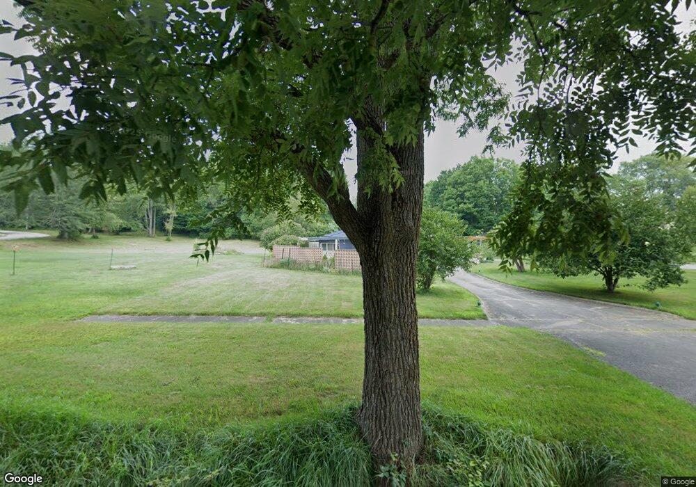
This home is located at 1207 Platt St, Niles, MI 49120 and is currently estimated at $198,667. 1207 Platt St is a home with nearby schools including Ballard Elementary School, Oak Manor Sixth Grade Center, and Ring Lardner Middle School.
Ownership History
Date
Name
Owned For
Owner Type
Purchase Details
Closed on
Jun 11, 2015
Sold by
Cote Adrian and Cote Judith
Bought by
Kennedy Brian T
Current Estimated Value
Home Financials for this Owner
Home Financials are based on the most recent Mortgage that was taken out on this home.
Original Mortgage
$153,000
Outstanding Balance
$118,078
Interest Rate
3.65%
Mortgage Type
New Conventional
Estimated Equity
$80,589
Purchase Details
Closed on
Jul 18, 2011
Sold by
Fannie Mae
Bought by
Cote Adrian and Cote Judith
Purchase Details
Closed on
Mar 17, 2011
Sold by
Gaideski William J and Gaideski Marilyn S
Bought by
Federal National Mortgage Association
Purchase Details
Closed on
Aug 23, 1995
Purchase Details
Closed on
May 26, 1994
Purchase Details
Closed on
Jul 1, 1976
Purchase Details
Closed on
Jun 1, 1975
Create a Home Valuation Report for This Property
The Home Valuation Report is an in-depth analysis detailing your home's value as well as a comparison with similar homes in the area
Home Values in the Area
Average Home Value in this Area
Purchase History
| Date | Buyer | Sale Price | Title Company |
|---|---|---|---|
| Kennedy Brian T | $170,000 | Cti | |
| Cote Adrian | $116,900 | Etitle Agency Inc | |
| Federal National Mortgage Association | $256,078 | None Available | |
| -- | -- | -- | |
| -- | -- | -- | |
| -- | $60,000 | -- | |
| -- | $79,700 | -- |
Source: Public Records
Mortgage History
| Date | Status | Borrower | Loan Amount |
|---|---|---|---|
| Open | Kennedy Brian T | $153,000 |
Source: Public Records
Tax History Compared to Growth
Tax History
| Year | Tax Paid | Tax Assessment Tax Assessment Total Assessment is a certain percentage of the fair market value that is determined by local assessors to be the total taxable value of land and additions on the property. | Land | Improvement |
|---|---|---|---|---|
| 2025 | $153 | $8,300 | $0 | $0 |
| 2024 | $91 | $7,400 | $0 | $0 |
| 2023 | $88 | $6,600 | $0 | $0 |
| 2022 | $84 | $6,600 | $0 | $0 |
| 2021 | $121 | $6,300 | $6,300 | $0 |
| 2020 | $120 | $7,200 | $0 | $0 |
| 2019 | $119 | $2,900 | $2,900 | $0 |
| 2018 | $115 | $2,900 | $0 | $0 |
| 2017 | $114 | $2,500 | $0 | $0 |
| 2016 | $203 | $5,500 | $0 | $0 |
| 2015 | $315 | $8,500 | $0 | $0 |
| 2014 | $254 | $8,500 | $0 | $0 |
Source: Public Records
Map
Nearby Homes