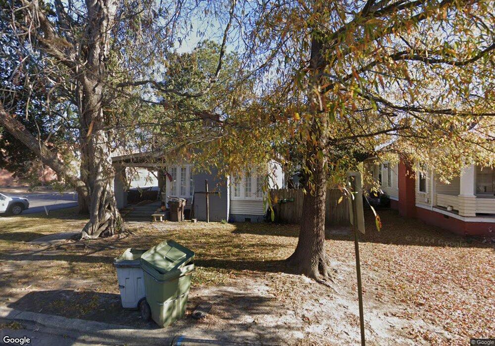
1207 Saint Patrick St Tarboro, NC 27886
Estimated Value: $125,020 - $134,000
2
Beds
2
Baths
1,132
Sq Ft
$116/Sq Ft
Est. Value
About This Home
This home is located at 1207 Saint Patrick St, Tarboro, NC 27886 and is currently estimated at $131,505, approximately $116 per square foot. 1207 Saint Patrick St is a home located in Edgecombe County with nearby schools including Stocks Elementary School, W.A. Pattillo Middle School, and Tarboro High School.
Ownership History
Date
Name
Owned For
Owner Type
Purchase Details
Closed on
Sep 28, 2022
Sold by
Mccoll Ventures Llc
Bought by
Leland Group Llc
Current Estimated Value
Purchase Details
Closed on
Feb 20, 2015
Sold by
Moss Gary M and Moss Patricia E
Bought by
Mccoll Ventures Llc
Purchase Details
Closed on
Mar 14, 2014
Sold by
Moss Gary M and Moss Patricia E
Bought by
Wedderien Joshua and Wedderien Brandy
Purchase Details
Closed on
Aug 20, 2008
Sold by
Marrow James C
Bought by
County Of Edgecombe
Create a Home Valuation Report for This Property
The Home Valuation Report is an in-depth analysis detailing your home's value as well as a comparison with similar homes in the area
Purchase History
| Date | Buyer | Sale Price | Title Company |
|---|---|---|---|
| Leland Group Llc | $97,500 | -- | |
| Leland Group Llc | $97,500 | None Listed On Document | |
| Mccoll Ventures Llc | -- | None Available | |
| Wedderien Joshua | $50,000 | None Available | |
| County Of Edgecombe | $39,000 | None Available |
Source: Public Records
Mortgage History
| Date | Status | Borrower | Loan Amount |
|---|---|---|---|
| Closed | Wedderien Joshua | $0 |
Source: Public Records
Tax History
| Year | Tax Paid | Tax Assessment Tax Assessment Total Assessment is a certain percentage of the fair market value that is determined by local assessors to be the total taxable value of land and additions on the property. | Land | Improvement |
|---|---|---|---|---|
| 2025 | $868 | $0 | $0 | $0 |
| 2024 | $868 | $0 | $0 | $0 |
| 2023 | $369 | $0 | $0 | $0 |
| 2022 | $369 | $0 | $0 | $0 |
| 2021 | $369 | $0 | $0 | $0 |
| 2020 | $369 | $0 | $0 | $0 |
| 2019 | $369 | $0 | $0 | $0 |
| 2018 | $369 | $0 | $0 | $0 |
| 2017 | $36,928 | $0 | $0 | $0 |
| 2016 | $391 | $0 | $0 | $0 |
| 2015 | $39,079 | $0 | $0 | $0 |
| 2014 | $36,817 | $0 | $0 | $0 |
Source: Public Records
Map
Nearby Homes
- 705 E Battle Ave
- 1307 Saint Andrew St
- 915 Saint David St
- 1109 N Main St
- 1208 N Main St
- 310 E Baker St
- 1123 Albemarle Ave
- 1125 Albemarle Ave
- 901 N Main St
- 207 Morrison Ave
- 1304 W Canal St
- 110 W Park Ave
- 701 E Battle Ave
- 605 Saint David St
- 207 Centre St
- 704 Forest Acres Dr
- 1008 Elm St
- 215 E Church St
- 311 E Church St
- 1304 Macon Place
- 1205 Saint Patrick St
- 305 E Johnston St
- 1203 Saint Patrick St
- 307 E Johnston St
- 1202 Saint Patrick St
- 300 E Battle Ave
- 309 E Johnston St
- 210 E Johnston St
- 1106 Saint David St
- 304 E Battle Ave
- 205 E Johnston St
- 1104 Saint David St
- 216 E Battle Ave
- 1302 Saint Patrick St
- 208 E Battle Ave
- 1209 Saint Andrew St
- 1207 Saint Andrew St
- 305 E Battle Ave Unit 309
Your Personal Tour Guide
Ask me questions while you tour the home.