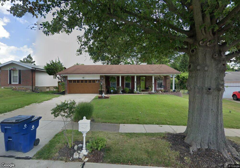
12072 Cato Dr Florissant, MO 63033
Estimated Value: $204,029 - $238,000
3
Beds
2
Baths
1,286
Sq Ft
$172/Sq Ft
Est. Value
About This Home
This home is located at 12072 Cato Dr, Florissant, MO 63033 and is currently estimated at $221,257, approximately $172 per square foot. 12072 Cato Dr is a home located in St. Louis County with nearby schools including Jury Elementary School, Central Middle School, and Hazelwood Central High School.
Ownership History
Date
Name
Owned For
Owner Type
Purchase Details
Closed on
Mar 23, 2006
Sold by
Winston Latour and Winston Veronica J
Bought by
Ross Kelly Von Eric and Ross Kim Mechelle
Current Estimated Value
Home Financials for this Owner
Home Financials are based on the most recent Mortgage that was taken out on this home.
Original Mortgage
$121,600
Outstanding Balance
$82,879
Interest Rate
9.95%
Mortgage Type
Fannie Mae Freddie Mac
Estimated Equity
$138,378
Purchase Details
Closed on
Dec 3, 1999
Sold by
Kuhlenschmidt Kenneth D and Kuhlenschmidt Phyllis A
Bought by
Malone Veronica J
Home Financials for this Owner
Home Financials are based on the most recent Mortgage that was taken out on this home.
Original Mortgage
$81,358
Interest Rate
7.95%
Mortgage Type
FHA
Create a Home Valuation Report for This Property
The Home Valuation Report is an in-depth analysis detailing your home's value as well as a comparison with similar homes in the area
Home Values in the Area
Average Home Value in this Area
Purchase History
| Date | Buyer | Sale Price | Title Company |
|---|---|---|---|
| Ross Kelly Von Eric | $128,000 | Platinum Title Llc | |
| Malone Veronica J | $81,500 | -- |
Source: Public Records
Mortgage History
| Date | Status | Borrower | Loan Amount |
|---|---|---|---|
| Open | Ross Kelly Von Eric | $121,600 | |
| Previous Owner | Malone Veronica J | $81,358 |
Source: Public Records
Tax History Compared to Growth
Tax History
| Year | Tax Paid | Tax Assessment Tax Assessment Total Assessment is a certain percentage of the fair market value that is determined by local assessors to be the total taxable value of land and additions on the property. | Land | Improvement |
|---|---|---|---|---|
| 2025 | $2,726 | $33,660 | $4,670 | $28,990 |
| 2024 | $2,726 | $29,930 | $3,140 | $26,790 |
| 2023 | $2,717 | $29,930 | $3,140 | $26,790 |
| 2022 | $2,344 | $22,930 | $5,450 | $17,480 |
| 2021 | $2,220 | $22,930 | $5,450 | $17,480 |
| 2020 | $2,190 | $21,070 | $3,590 | $17,480 |
| 2019 | $2,154 | $21,070 | $3,590 | $17,480 |
| 2018 | $2,083 | $18,830 | $2,490 | $16,340 |
| 2017 | $2,080 | $18,830 | $2,490 | $16,340 |
| 2016 | $2,074 | $18,470 | $2,810 | $15,660 |
| 2015 | $2,027 | $18,470 | $2,810 | $15,660 |
| 2014 | $1,883 | $17,060 | $2,790 | $14,270 |
Source: Public Records
Map
Nearby Homes
- 12062 Cato Dr
- 11767 MacRinus Dr
- 4493 Caracalla Dr
- 4348 Vandals Dr
- 11636 MacRinus Dr
- 11869 Galba Dr
- 4354 Metarus Dr
- 4471 Rhine Dr
- 4461 Rhine Dr
- 4497 Rhine Dr
- 4384 Remus Dr
- 4401 Rhine Dr
- 4244 Miletus Dr
- 4950 Patricia Ridge Dr
- 11565 Mehl Ave
- 11790 New Halls Ferry Rd
- 30 Rolling Hills Dr
- 11540 Lares Dr
- 12415 Danube Dr
- 4040 Helmkampf Dr
- 12078 Cato Dr
- 11727 MacRinus Dr
- 11747 MacRinus Dr
- 11717 MacRinus Dr
- 12052 Cato Dr
- 12021 Cato Dr
- 12031 Cato Dr
- 11707 MacRinus Dr
- 12011 Cato Dr
- 12092 Cato Dr
- 12041 Cato Dr
- 11687 MacRinus Dr
- 11777 MacRinus Dr
- 12042 Cato Dr
- 12051 Cato Dr
- 4397 Varano Dr
- 4393 Varano Dr
- 11746 MacRinus Dr
- 11766 MacRinus Dr
- 12032 Cato Dr