12075 Us Highway 11 Springville, AL 35146
Estimated Value: $264,000 - $386,000
--
Bed
1
Bath
2,023
Sq Ft
$152/Sq Ft
Est. Value
About This Home
This home is located at 12075 Us Highway 11, Springville, AL 35146 and is currently estimated at $307,927, approximately $152 per square foot. 12075 Us Highway 11 is a home located in St. Clair County with nearby schools including Springville Elementary School, Springville Middle School, and Springville High School.
Ownership History
Date
Name
Owned For
Owner Type
Purchase Details
Closed on
Jun 24, 2019
Sold by
Johnson Janice T and Estate Of William Allen Johnso
Bought by
Johnson Janice T
Current Estimated Value
Home Financials for this Owner
Home Financials are based on the most recent Mortgage that was taken out on this home.
Original Mortgage
$117,728
Outstanding Balance
$103,090
Interest Rate
3.9%
Mortgage Type
Future Advance Clause Open End Mortgage
Estimated Equity
$204,837
Create a Home Valuation Report for This Property
The Home Valuation Report is an in-depth analysis detailing your home's value as well as a comparison with similar homes in the area
Home Values in the Area
Average Home Value in this Area
Purchase History
| Date | Buyer | Sale Price | Title Company |
|---|---|---|---|
| Johnson Janice T | $42,291 | None Available |
Source: Public Records
Mortgage History
| Date | Status | Borrower | Loan Amount |
|---|---|---|---|
| Open | Johnson Janice T | $117,728 |
Source: Public Records
Tax History Compared to Growth
Tax History
| Year | Tax Paid | Tax Assessment Tax Assessment Total Assessment is a certain percentage of the fair market value that is determined by local assessors to be the total taxable value of land and additions on the property. | Land | Improvement |
|---|---|---|---|---|
| 2024 | -- | $48,558 | $5,880 | $42,678 |
| 2023 | -- | $43,990 | $4,700 | $39,290 |
| 2022 | $0 | $21,995 | $2,350 | $19,645 |
| 2021 | $0 | $21,995 | $2,350 | $19,645 |
| 2020 | $0 | $18,719 | $2,349 | $16,370 |
| 2019 | $0 | $18,410 | $2,349 | $16,061 |
| 2018 | $0 | $16,540 | $0 | $0 |
| 2017 | -- | $19,340 | $0 | $0 |
| 2016 | -- | $19,340 | $0 | $0 |
| 2015 | -- | $19,340 | $0 | $0 |
| 2014 | -- | $19,940 | $0 | $0 |
Source: Public Records
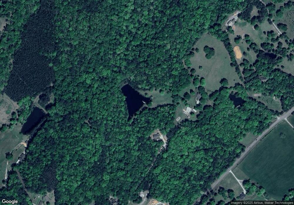
Map
Nearby Homes
- 425 Stonewood Trail
- 65 Stonewood Ln
- 300 Stonewood Trail
- 1187 Crawfords Cove Rd
- 631 Burtram Cir
- 265 Rolling Oaks Dr
- 146 McDonald Dr
- 15158 US Highway 11
- 7916 County Road 31
- 242 Frost Rd
- 2775 Crawford Cove Rd
- 0 Stone Ridge Dr Unit Lot 3 1304198
- 414 Stone Ridge Unit 5 and 6
- 558 Stone Ridge Unit Lot 10
- 522 Stone Ridge Dr Unit Lot 9
- 523 Stone Ridge Dr Unit 23, 24, & 25
- 100 Braxton Place
- 40 Sulfur Springs Rd
- 25 Joabs Way
- 183 Grayton St
- 12257 Us Highway 11
- 12090 Us Highway 11
- 140 Burtram Rd
- 12285 Us Highway 11
- 170 Burtram Rd
- 12426 Us Highway 11
- 350 Burtram Rd
- 12465 Us Highway 11
- 220 Burtram Rd
- 342 Burtram Rd
- 12432 Us Highway 11
- 4766 Washington Valley Rd
- 449 Stonewood Trail
- 385 Stonewood Trail
- 441 Stonewood Trail
- 345 Stonewood Trail
- 305 Stonewood Trail
- 15 Stonewood Ln
- 448 Stonewood Trail
- 11659 Us Highway 11