Estimated Value: $150,000 - $364,159
--
Bed
--
Bath
--
Sq Ft
16.48
Acres
About This Home
This home is located at 120767 State Highway 29, Edgar, WI 54426 and is currently estimated at $257,080. 120767 State Highway 29 is a home located in Marathon County with nearby schools including Edgar Elementary School, Edgar Middle School, and Edgar High School.
Ownership History
Date
Name
Owned For
Owner Type
Purchase Details
Closed on
Mar 14, 2008
Sold by
Borchardt Eugene E and Borchardt Mildred E
Bought by
Bryant Jeremy
Current Estimated Value
Home Financials for this Owner
Home Financials are based on the most recent Mortgage that was taken out on this home.
Original Mortgage
$150,820
Outstanding Balance
$94,210
Interest Rate
5.79%
Mortgage Type
Unknown
Estimated Equity
$162,870
Purchase Details
Closed on
May 2, 2005
Sold by
Borcharddt Eugene E and Borcharddt Mildred E
Bought by
Wisconsin Public Service Corp
Create a Home Valuation Report for This Property
The Home Valuation Report is an in-depth analysis detailing your home's value as well as a comparison with similar homes in the area
Home Values in the Area
Average Home Value in this Area
Purchase History
| Date | Buyer | Sale Price | Title Company |
|---|---|---|---|
| Bryant Jeremy | $175,000 | None Available | |
| Wisconsin Public Service Corp | -- | None Available |
Source: Public Records
Mortgage History
| Date | Status | Borrower | Loan Amount |
|---|---|---|---|
| Open | Bryant Jeremy | $150,820 |
Source: Public Records
Tax History Compared to Growth
Tax History
| Year | Tax Paid | Tax Assessment Tax Assessment Total Assessment is a certain percentage of the fair market value that is determined by local assessors to be the total taxable value of land and additions on the property. | Land | Improvement |
|---|---|---|---|---|
| 2024 | $3,019 | $274,400 | $31,900 | $242,500 |
| 2023 | $3,137 | $274,300 | $31,800 | $242,500 |
| 2022 | $3,731 | $274,300 | $31,800 | $242,500 |
| 2021 | $3,647 | $274,200 | $31,700 | $242,500 |
| 2020 | $3,125 | $190,700 | $24,800 | $165,900 |
| 2019 | $3,085 | $190,700 | $24,800 | $165,900 |
| 2018 | $3,427 | $190,700 | $24,800 | $165,900 |
| 2017 | $3,368 | $190,700 | $24,800 | $165,900 |
| 2016 | $3,167 | $190,700 | $24,800 | $165,900 |
| 2015 | $3,360 | $190,700 | $24,800 | $165,900 |
| 2014 | $3,278 | $190,700 | $24,800 | $165,900 |
Source: Public Records
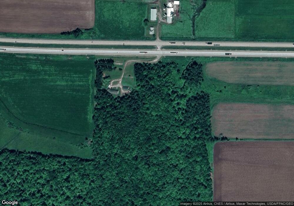
Map
Nearby Homes
- 310 Royal Ave
- 308 Brooklyn Ave
- 209 Thomas Hill Rd
- 416 E Beech St
- 212 N 3rd Ave
- 227 N 3rd Ave
- 563 Cameron St
- 23.40 Acres County Road U
- 64 Acres Pheasant Falls Rd
- 119555 Chesak Rd
- 218083 County Rd S
- Lt0 County Road U
- 704 Thornapple St
- 604 Thornapple St
- Lot 66 Edgewater Estates
- Lot 65 Edgewater Estates Unit Tiffybird Ln.
- 902 Tower Dr
- Lot 64 Edgewater Estates Unit Tiffybird Ln.
- Lot 60 Edgewater Estates Unit Tiffybird Ln.
- 801 Hemlock St
- 223100 Pinenut Rd
- 112490 Chesak Rd
- 126932 County Rd N
- Lot#1 County Rd N
- 126855 County Rd N
- 224188 County Road H
- 224252 County Road H
- 224171 County Road H
- 224390 County Road H
- 126601 County Rd N
- 126700 County Rd N
- 223334 County Road H
- 223435 County Road H
- 126600 County Rd N
- 224540 County Road H
- 223184 County Road H
- 224660 County Road H
- 126403 County Rd N
- 126403 County Rd N
- Corner County Rd N Unit Cty Rd N & Aspen Roa