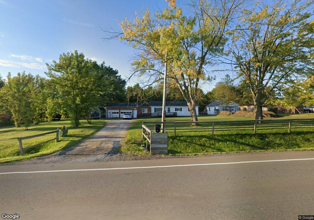
12079 Route 6n Albion, PA 16401
Estimated Value: $133,000 - $189,000
3
Beds
1
Bath
1,512
Sq Ft
$110/Sq Ft
Est. Value
About This Home
This home is located at 12079 Route 6n, Albion, PA 16401 and is currently estimated at $166,410, approximately $110 per square foot. 12079 Route 6n is a home with nearby schools including Northwestern Senior High School.
Ownership History
Date
Name
Owned For
Owner Type
Purchase Details
Closed on
Apr 28, 2006
Sold by
Bennett James W and Dahlin Bonda M
Bought by
Furry Steven D
Current Estimated Value
Home Financials for this Owner
Home Financials are based on the most recent Mortgage that was taken out on this home.
Original Mortgage
$85,500
Outstanding Balance
$60,644
Interest Rate
10.75%
Mortgage Type
Fannie Mae Freddie Mac
Estimated Equity
$105,766
Purchase Details
Closed on
Jan 18, 2005
Sold by
Bennett James W and Bennett Elizabeth R
Bought by
Bennett James W
Create a Home Valuation Report for This Property
The Home Valuation Report is an in-depth analysis detailing your home's value as well as a comparison with similar homes in the area
Home Values in the Area
Average Home Value in this Area
Purchase History
| Date | Buyer | Sale Price | Title Company |
|---|---|---|---|
| Furry Steven D | $90,000 | None Available | |
| Bennett James W | -- | -- |
Source: Public Records
Mortgage History
| Date | Status | Borrower | Loan Amount |
|---|---|---|---|
| Open | Furry Steven D | $85,500 |
Source: Public Records
Tax History Compared to Growth
Tax History
| Year | Tax Paid | Tax Assessment Tax Assessment Total Assessment is a certain percentage of the fair market value that is determined by local assessors to be the total taxable value of land and additions on the property. | Land | Improvement |
|---|---|---|---|---|
| 2025 | $2,129 | $103,100 | $22,900 | $80,200 |
| 2024 | $1,913 | $103,100 | $22,900 | $80,200 |
| 2023 | $1,872 | $103,100 | $22,900 | $80,200 |
| 2022 | $1,844 | $103,100 | $22,900 | $80,200 |
| 2021 | $1,820 | $103,100 | $22,900 | $80,200 |
| 2020 | $1,794 | $103,100 | $22,900 | $80,200 |
| 2019 | $1,758 | $103,100 | $22,900 | $80,200 |
| 2018 | $1,691 | $103,100 | $22,900 | $80,200 |
| 2017 | $1,691 | $103,100 | $22,900 | $80,200 |
| 2016 | $2,086 | $103,100 | $22,900 | $80,200 |
| 2015 | $2,060 | $103,100 | $22,900 | $80,200 |
| 2014 | $1,068 | $103,100 | $22,900 | $80,200 |
Source: Public Records
Map
Nearby Homes
- 10210 Knapp Rd
- 22 Cherry St
- 84 N Main St
- 0 Route 6n
- 86 S Main St
- 60 Park Ave
- 16 Highland Ave
- 95 3rd Ave
- 15 Thornton Ave
- Lot 3 Biscoff Rd
- 0 Griffey Rd
- 9958 Bateman Ave
- 12100 Stoker Rd
- 9834 Bateman Ave
- 10650 Bowmantown Rd
- 10023 Reservoir Rd
- 0 Winchester Dr Unit 178085
- 0 Winchester Dr Unit 178083
- 6946 Huntley Rd
- 9749 9801 Moses Rd
- 12085 Route 6n
- 10040 Knapp Rd
- 12191 Route 6n
- 10111 Knapp Rd
- 9880 Pennsylvania 215
- 9895 Rte 215
- 0 Route 6n Rd Unit 144887
- 12310 Route 6n
- 12311 Route 6n
- 9810 Route 215
- 9809 Route 215
- 12343 Route 6n
- 10230 Knapp Rd
- 9770 Route 215
- 12351 Route 6n
- 9750 Route 215
- 9767 Pennsylvania 215
- 12433 Route 6n
- 12440 Route 6n
- 11605 Hilltop Rd