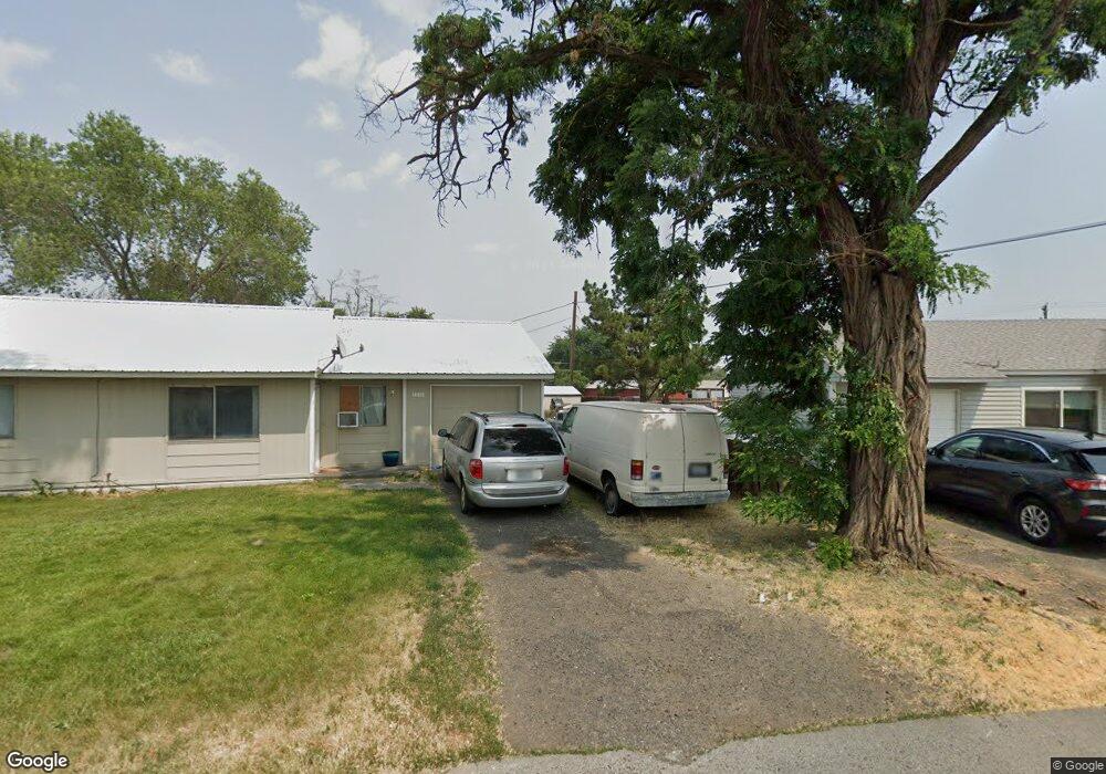
1208 1210 Pershing Rd Moses Lake, WA 98837
Estimated Value: $240,000 - $290,188
4
Beds
2
Baths
1,780
Sq Ft
$149/Sq Ft
Est. Value
About This Home
This home is located at 1208 1210 Pershing Rd, Moses Lake, WA 98837 and is currently estimated at $265,047, approximately $148 per square foot. 1208 1210 Pershing Rd is a home located in Grant County with nearby schools including North Elementary School, Endeavor Middle School, and Moses Lake High School.
Ownership History
Date
Name
Owned For
Owner Type
Purchase Details
Closed on
Aug 25, 2020
Sold by
Bailey William B and Nancy G Bailey Testamentary Tr
Bought by
Fry Jason C
Current Estimated Value
Home Financials for this Owner
Home Financials are based on the most recent Mortgage that was taken out on this home.
Original Mortgage
$192,200
Outstanding Balance
$169,788
Interest Rate
2.9%
Mortgage Type
VA
Estimated Equity
$95,259
Create a Home Valuation Report for This Property
The Home Valuation Report is an in-depth analysis detailing your home's value as well as a comparison with similar homes in the area
Home Values in the Area
Average Home Value in this Area
Purchase History
| Date | Buyer | Sale Price | Title Company |
|---|---|---|---|
| Fry Jason C | $192,187 | Stewart Title Company |
Source: Public Records
Mortgage History
| Date | Status | Borrower | Loan Amount |
|---|---|---|---|
| Open | Fry Jason C | $192,200 |
Source: Public Records
Tax History Compared to Growth
Tax History
| Year | Tax Paid | Tax Assessment Tax Assessment Total Assessment is a certain percentage of the fair market value that is determined by local assessors to be the total taxable value of land and additions on the property. | Land | Improvement |
|---|---|---|---|---|
| 2025 | $2,220 | $207,651 | -- | -- |
| 2024 | $2,109 | $167,800 | $28,500 | $139,300 |
| 2023 | $2,161 | $173,155 | $28,500 | $144,655 |
| 2022 | $2,242 | $173,155 | $28,500 | $144,655 |
| 2021 | $1,673 | $173,155 | $28,500 | $144,655 |
| 2020 | $1,640 | $119,800 | $28,500 | $91,300 |
| 2019 | $1,738 | $117,535 | $20,000 | $97,535 |
| 2018 | $1,960 | $123,045 | $20,000 | $103,045 |
| 2017 | $1,440 | $99,265 | $20,000 | $79,265 |
| 2016 | $1,273 | $85,870 | $20,000 | $65,870 |
| 2013 | -- | $85,870 | $20,000 | $65,870 |
Source: Public Records
Map
Nearby Homes
- 1127 Arlington Dr
- 8910 Travis Dr Unit B
- 0 22nd Ave NE
- 9008 Bong Loop Unit B
- 9035 Forrestal Ln
- 141 Carswell Dr
- 541 Fairchild Loop
- 8958 Tinker Loop Unit A & B
- 9021 Mcconnell Dr Unit A
- 538 Fairchild Loop
- 9023 Mcconnell Dr Unit A
- 9016 Bong Loop Unit B
- 410 Biggs Dr NE
- 535 Castle Dr
- 205 March Dr NE
- 7613 Cox St NE
- 0 Kopp Ln NE
- 0 I Rd NE Unit NWM2459711
- 4926 Shorecrest Dr NE
- 4898 Shorecrest Dr NE
- 1208 Pershing Rd
- 1210 Pershing Rd
- 1212 Pershing Rd
- 1206 Pershing Rd
- 1209 Pershing Rd
- 1208 Arlington Dr
- 906 Lowry St
- 1214 Pershing Rd
- 1202 Arlington Dr
- 1213 Pershing Rd
- 1228 1230 Arlington
- 900 906 Lowry
- 1210 Arlington Dr
- 1205 Arlington Dr
- 1216 Pershing Rd
- 1216 1218 Pershing Rd
- 1207 Arlington Dr
- 1218 Pershing Rd
- 1203 Arlington Dr
- 1212 Arlington Dr