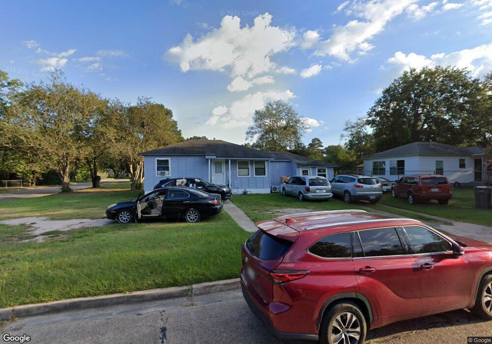
1208 Briarwood Dr Lufkin, TX 75901
Estimated Value: $62,034 - $105,000
--
Bed
5
Baths
864
Sq Ft
$106/Sq Ft
Est. Value
About This Home
This home is located at 1208 Briarwood Dr, Lufkin, TX 75901 and is currently estimated at $91,259, approximately $105 per square foot. 1208 Briarwood Dr is a home located in Angelina County with nearby schools including Herty Primary School, Coston Elementary School, and Lufkin Middle School.
Ownership History
Date
Name
Owned For
Owner Type
Purchase Details
Closed on
Feb 13, 2013
Sold by
Diaz Antonio
Bought by
Villanueva Sofia
Current Estimated Value
Purchase Details
Closed on
Jul 29, 2010
Sold by
Diaz Genaro
Bought by
Diaz Antonio
Purchase Details
Closed on
Oct 6, 2006
Sold by
Soto Crystal and Ramirez Rene
Bought by
Diaz Genaro and Diaz Antonio
Purchase Details
Closed on
Apr 24, 2006
Sold by
Horace Lois
Bought by
Soto Crystal and Ramirez Rene
Purchase Details
Closed on
Aug 15, 2005
Sold by
Horace J L
Bought by
Horace Lois
Create a Home Valuation Report for This Property
The Home Valuation Report is an in-depth analysis detailing your home's value as well as a comparison with similar homes in the area
Home Values in the Area
Average Home Value in this Area
Purchase History
| Date | Buyer | Sale Price | Title Company |
|---|---|---|---|
| Villanueva Sofia | -- | None Available | |
| Diaz Antonio | -- | None Available | |
| Diaz Genaro | -- | None Available | |
| Soto Crystal | $11,000 | None Available | |
| Horace Lois | -- | None Available |
Source: Public Records
Tax History Compared to Growth
Tax History
| Year | Tax Paid | Tax Assessment Tax Assessment Total Assessment is a certain percentage of the fair market value that is determined by local assessors to be the total taxable value of land and additions on the property. | Land | Improvement |
|---|---|---|---|---|
| 2025 | $835 | $46,940 | $13,820 | $33,120 |
| 2024 | $759 | $46,070 | $13,820 | $32,250 |
| 2023 | $904 | $45,490 | $13,820 | $31,670 |
| 2022 | $684 | $30,020 | $4,900 | $25,120 |
| 2021 | $685 | $27,810 | $4,900 | $22,910 |
| 2020 | $618 | $25,160 | $4,900 | $20,260 |
| 2019 | $654 | $25,160 | $4,900 | $20,260 |
| 2018 | $561 | $24,420 | $4,900 | $19,520 |
| 2017 | $561 | $23,530 | $4,900 | $18,630 |
| 2016 | $586 | $24,560 | $5,190 | $19,370 |
| 2015 | -- | $18,910 | $5,190 | $13,720 |
| 2014 | -- | $17,930 | $5,190 | $12,740 |
Source: Public Records
Map
Nearby Homes
- 1618 Paul Ave
- 1911 Paul Ave
- 329 Humason Ave
- 333 Humason Ave
- 607 Humason Ave
- 2105 Paul Ave
- 2000 Paul Ave
- 505 Brasell St
- 1902 Pine Burr St
- 916 Circle Dr
- TBD State Highway 103
- 1101 N 1st St
- 417 Stark St
- 115 Ward St
- 408 Bob St
- 521 N 1st St
- 223 Stoney Ridge
- 505 N 1st St
- 417 Martin Luther King jr Blvd
- 233 N Banks St
- 1206 Briarwood Dr
- 1300 Briarwood Dr
- 1209 Andrews Ave
- 1204 Briarwood Dr
- 1207 Andrews Ave
- 1205 Andrews Ave
- 1202 Briarwood Dr
- 1302 Briarwood Dr
- 210 N Garvin St
- 1301 Briarwood Dr
- 1207 Briarwood Dr
- 1203 Andrews Ave
- 1303 Briarwood Dr
- 1205 Briarwood Dr
- 208 N Garvin St
- 1200 Briarwood Dr
- 1304 Briarwood Dr
- 1305 Briarwood Dr
- 1203 Briarwood Dr
- 1201 Andrews Ave