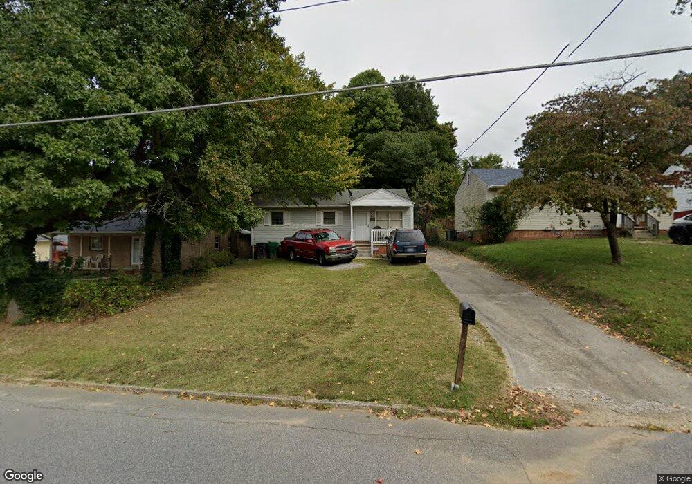
1208 Forrest St High Point, NC 27262
Greater High Point NeighborhoodEstimated Value: $133,000 - $141,000
3
Beds
1
Bath
864
Sq Ft
$158/Sq Ft
Est. Value
About This Home
This home is located at 1208 Forrest St, High Point, NC 27262 and is currently estimated at $136,360, approximately $157 per square foot. 1208 Forrest St is a home located in Guilford County with nearby schools including Oak View Elementary School, Welborn Academy of Science & Technology, and High Point Central High School.
Ownership History
Date
Name
Owned For
Owner Type
Purchase Details
Closed on
May 12, 1999
Sold by
Lewis Teresa Jan Bizzell and Lewis James Steven
Bought by
Mccullough Gloria
Current Estimated Value
Home Financials for this Owner
Home Financials are based on the most recent Mortgage that was taken out on this home.
Original Mortgage
$55,930
Outstanding Balance
$14,379
Interest Rate
6.98%
Mortgage Type
FHA
Estimated Equity
$121,981
Create a Home Valuation Report for This Property
The Home Valuation Report is an in-depth analysis detailing your home's value as well as a comparison with similar homes in the area
Home Values in the Area
Average Home Value in this Area
Purchase History
| Date | Buyer | Sale Price | Title Company |
|---|---|---|---|
| Mccullough Gloria | $56,000 | -- |
Source: Public Records
Mortgage History
| Date | Status | Borrower | Loan Amount |
|---|---|---|---|
| Open | Mccullough Gloria | $55,930 |
Source: Public Records
Tax History
| Year | Tax Paid | Tax Assessment Tax Assessment Total Assessment is a certain percentage of the fair market value that is determined by local assessors to be the total taxable value of land and additions on the property. | Land | Improvement |
|---|---|---|---|---|
| 2025 | $856 | $62,100 | $10,000 | $52,100 |
| 2024 | $856 | $62,100 | $10,000 | $52,100 |
| 2023 | $856 | $62,100 | $10,000 | $52,100 |
| 2022 | $837 | $62,100 | $10,000 | $52,100 |
| 2021 | $683 | $49,600 | $10,000 | $39,600 |
| 2020 | $683 | $49,600 | $10,000 | $39,600 |
| 2019 | $683 | $49,600 | $0 | $0 |
| 2018 | $680 | $49,600 | $0 | $0 |
| 2017 | $680 | $49,600 | $0 | $0 |
| 2016 | $673 | $48,000 | $0 | $0 |
| 2015 | $677 | $48,000 | $0 | $0 |
| 2014 | $688 | $48,000 | $0 | $0 |
Source: Public Records
Map
Nearby Homes
- 1110 Forrest St
- 1108 Forrest St
- 910 E Dayton Ave
- 801 E Lexington Ave
- 613 Woodridge Ln
- 1428 Futrelle Dr
- 916 Forrest St
- 1406 Chatham Dr
- 702 E Farriss Ave
- 1604 E Lexington Ave
- 1526 Ann Arbor Ct
- 511 E Farriss Ave
- 721 Forrest St
- 719 Forrest St
- 1700 N Hamilton St Unit F
- 1602 Larkin St
- 1310 Madison St
- 1607 Larkin St
- 1507 Larkin St
- 420 Chester Woods Ct
- 1206 Forrest St
- 1210 Forrest St
- 1204 Forrest St
- 1300 Forrest St
- 1202 Forrest St
- 1205 Forrest St
- 909 Charlotte Ave
- 1200 Forrest St
- 1302 Forrest St
- 1203 Forrest St
- 913 Charlotte Ave
- 915 Charlotte Ave
- 1301 Forrest St
- 1007 Shepard Place
- 1201 Forrest St
- 1304 Forrest St
- 1009 Shepard Place
- 917 Charlotte Ave
- 1303 Forrest St
- 1113 Forrest St
Your Personal Tour Guide
Ask me questions while you tour the home.